One doesn't always know where a path may lead....that can be exciting!
|
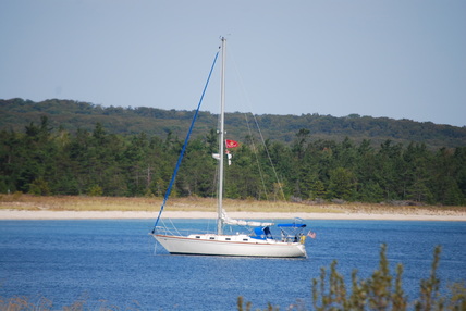
Sojourner at S. Manitou Island, Sept 2012
|
MAY 9, 2013
MIKE'S BIG SAILING ADVENTURE BEGINS....GOOOOOO MIKE !!!
June 18, 2013
Boat prep is just about done, now I starting to go over check lists and buying the last pieces of gear needed for the trip.
Sailing destination: The Bahamas
Route: Depart Saugatuck Michigan, Lake Huron, Lake Erie, Welland Canal, Lake Ontario, Erie Canal, Hudson River, down East Coast via intra-coastal, Florida no earlier than 11/1/13 and then to the Bahamas in late Nov.
My bucket list trip.
June 28, 2013
At home putting on the finishing touches on preparing my house for rental. Movers come 7/2 and the property mgmt. company will start showing immediately. Then it is off to Michigan, ferrying last pieces of gear, food stuffs and doing the last of boat prep, then......to quote a famous comedian...."And away we go!"
July 10, 2013
At the boat in Saugatuck.....finally!! Finished up getting everything packed and stored at home. It is amazing how long it took, everything took about three times longer that my original time estimate. Have about 3-4 days of small boat projects prior to sailing which means I should be on the road by the end of July. :-)
July 18, 2013
Finally got on the road on July 17th and it was wonderful!!! Joan from Green Bay was on board as crew. Destination: Muskegon, Mi.
It was sunny, temperature in the mid 90's and wind was light & variable. The day turned out to be one of Blood, Sweat & Flies. With the light wind we were only making 2-3kt, sun was hot and the flies out on the lake were atrocious....there was a lot of the little critters....and can they bite!! Wow! At 5:30 we were still 20 miles from out destination, so we decided to motor to Muskegon. Engine ran for about 1 minute & died. That's the bad news. Good news, it happened early in the trip. We got towed in to Muskegon to Torrensen Marine & they trouble shot it quickly. Looks like I had gotten some bad fuel & my filters got clogged. Got back on the road about 3:00pm. Joan returned to Green Bay to take care of dogs.
It was a wonderful leisurely sail the 10 additional miles to White Lake, wind was out of SSW @ 10kt.....ideal sailing. Arrived at 7:30, dropped anchor, swam ( euphemism for bath), did some laundry & had dinner.....the land of nod is a bout a half hour away.
Check link for location this evening. http://fms.ws/C-Zer/43.36803N/86.39462W
July 20, 2013
Stayed at White Lake yesterday due to lack of wind, there was nothing. Had a great time sight seeing in the dinghy, even took the fishing pole & threw some lures, like I said, I threw some lures....did not catch anything.
Left White Lake about 9:30, light SW (5kt) really relaxing sail. About noon the wind started clocking to the North and as it did it increased & before long it was blowing 20kt & then the waves started building, there were 5-6 ft waves.....but it was sunny, a beautiful day actually, so what if you had your hands full with other stuff. Got to Pentwater about 7:30. Now it is time for a gourmet dinner aboard Sojourner if I can find the can opener. Check link for location this evening. Ciao http://fms.ws/D0TYN/43.76532N/86.41254W
July 24, 2013
Currently at anchor in Betsie Lake, Franfort, MI. Arrived here the evening of 7/22. There has been continuous north winds since arriving, some of them 20+kt.....you just have to wait it out.
The sail here on 7/22 was delightful. Departed Portage Lake and had 12kts wind from SSW & I was moving at 6.5kt and even though there was 3-5 waves they were on my stern which made for a gentle ride....very peaceful. Then I saw it, another boat was heading south & motor sailing directly into the wind and 5ft waves. The boat would motor down into the trough of a wave, bury it's bow into the trough and then was the wave passed the bow of the boat & because of it's buoyancy the bow would then come up out of the water resulting in the first 7-8 ft of the boat being temporarily out of water just prior to burying it self once again in the next trough and repeating the cycle. These guys were not having fun.
I was amazed by the contrast of the two boats; I was riding the 12kt wind most peacefully & the other boat was just getting hammered sloughing through the waves against the wind. This story was shared once ashore & after relaying the story the question then became ," Why would anyone do that?" The answer always was, "They had to be somewhere", or "They had a schedule."
Overnight the wind will shift from the north to the SW and I will be on the road again. There is only 50 more mile to go before I start rounding the corner at the tip of the Michigan peninsula and my direction of travel shifts from a northerly course to east. I will no longer be adversely affected by the north wind that has kept me in port for the last few days.
Goal for tomorrow is S. Manitou at the least & North Port at the entrance to Grand Travers Bay at the best.
July 25, 2013
Arrived at S. Manitou Island and hook down @ 6:45pm. The island is part od Sleeping Bear Dunes National Lakeshore there were residents on the island until approx. 1970. Lots of wonderful trails, light house and old farms the park service maintains.
The sail up was delightful, 15kts directly on the stern, used only my head sail (130% genoa) & just breezed along at 6kt. Tomorrow's goal is Beaver Island which will put me only 20 miles west of the Mackinac Bridge....Exciting, once through the straits of Mackinac, I will veer to the north into the North Channel of Lake Huron.......that's another story. Ciao http://fms.ws/D5Pjk/45.02570N/86.09885W
July 26, 2013
Got an early start & left S. Manitou with 10kts of wind on my stern & made it to Grand Traverse Light which sits at the northern tip of the Leelanau Peninsula at about 2:00pm, had a good run. All morning I was watching thunderstorms on the weather radar (on the iphone) across the lake in Wisconsin. Forecast called for winds to shift to the west & then north over night so I started looking for an anchorage giving protection from these directions. I thought the little town of Northport filled the bill. Just as I was arriving the wind hit from the south & hit with great vigor, like 30kts of vigor. Northport offered no protection from a southern wind so I motored south, into the wind, to Sutton's Bay. It occurred to me that I must have looked like the guy mentioned above....and yes I did bury my bow once or twice into oncoming seas. Made it to Sutton's Bay @ 6:30pm and the storms have passed. It was a busy day.....a Tale of Two Sails....first part of the day was picturesque, but then again so was the second but only the opposite way. http://fms.ws/D6FUm/44.96775N/85.63153W
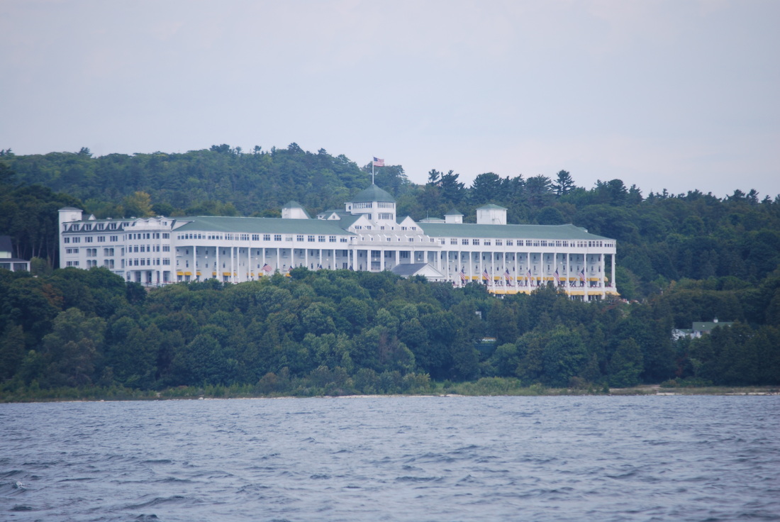
The Grand Hotel at Mackinaw, they had left the light on for me but I was in a hurry & could not stop.

July 27, 2013
Currently at anchor in Harbor Springs, MI. What a nice little town! It is tucked in the east end of Little Traverse Bay just across from Petosky. Well worth doing a little research on it.
Today's sail was calm....calm is good after yesterdays front coming through. Winds were N at 8-10 out the north, was able to make 5-6kts most of the day. Could have used a bit of sunshine today, it was a low overcast day....but nice wind. Made almost 50 mile today, that is good. Now I am only 40 miles from Mackinaw!! Check link for todays location: http://fms.ws/D7Kug/45.42619N/84.98999W
July 28, 2013
Left Harbor Springs at 9:25, wind was WSW @ 10-15 (240 degrees). As you leave Harbor Springs one has to first leave Little Traverse Bay by briefly sailing to the NE & the shore makes a broad arc toward Mackinaw, it's kinda like sailing from the 7 o'clock position on a clock to about 1:00. Once around the corner & the wind was on my port beam I just flew....left port with a reef in the main, only used half a head sail, the wind was right & I made 6.5+ knots most of the day, the occasional gust would put me to 7.3....that's flying!!
Upon first seeing the Mackinaw Bridge in the distance 12 miles out was quite exciting as it represented one of the major milestones of the trip, exiting Lake Michigan and entering Lake Huron.....pretty neat stuff.
Decided to go the Mackinaw City Municipal Marina this evening. Got to go ashore & have real food, a shower and laundry. A real exciting night on the town. Ciao http://fms.ws/D89RY/45.78070N/84.72281W
July 31, 2013
Had a three day layover in Mackinaw City, unfortunately it was due to mechanical issues. I had noticed diesel fuel collecting in the drip pan under the engine & figured it was just a loose fitting from the previous fuel system work.....found the leak & it turned out to be the fuel pump.
Fortunately I was in a marina, there were mechanical services available, so three days later & a new fuel pump & it's on the road again.
Have traveled 300 miles so far & that is about 20% of the way to NYC & the ocean. Sailed past Mackinac Island this afternoon & got some pictures of the Grand Hotel from about a half mile out. That one will get posted.
Due to the delay in Mackinaw City, a change of route was in order. Original plan was to go into Canada & tour the Georgian Bay's North Channel which would have been a seven day detour. The new plan is to travel south along the Michigan shore of Lake Huron to Detroit, a much more direct of a route. That will allow me to meet crew at the agreed upon time at Put-In-Bay.
Tonight's location: http://fms.ws/DB6jA/45.65246N/84.43292W
And yes, there is delicious ice cream in Mackinaw City. Yum
August 2, 2013
No update last evening due bad cell reception, But I was anchored in really really nice spot. It was Presque Isle & it was a 48 mile sail down from Cheboygan. I had great wind & I just flew, had 10-12kt on the stern, did a broad reach the whole way, it was exhilarating.
Presque Isle location: http://fms.ws/DCC1p/45.33738N/83.48593W
Today was somewhat uneventful but still had a good outcome. Left Presque Isle about 0830 & had 5kt from the SW, not great but Ok and then after an hour it died. I decided to motor, then a rain squall moved in it and it rained to beat the band, an hour later the sun was out and then two hours later another rain squall for a repeat performance of the first. Got into Harrisville about 1830, dropped anchor, had a gourmet meal (found the can opener) & went for a swim. Traveled 49miles today....that's quite a count for the last two days. Harrisville location: http://fms.ws/DDCfn/44.66013N/83.28467W
August 3, 2013
Today was outstanding!!!! What a set up, left Harrisville appox. 9:00 & my next stop was due south & the wind was coming out of the west & off the land at 10-12kt, gusting 15.....there were no waves, the water was flat. I had up full main & only half my headsail & averaged 6.5kt, frequently saw 7kt & one gust pushed me to 7.5kt......I had it dialed in & was sailing a beam reach & the boat was flat...no heeling. It was great, then I had to turn around a point of land to enter harbor & went close hauled up wind......so much for the leisurely sail. Got into Tawas City about 4:00pm, got topped of with fuel, got a pump out & in a slip for the evening. Now into town for a gourmet meal that does not require a can opener. Tawas City location: http://fms.ws/DE5-r/44.27600N/83.48743W
Today was outstanding!!!! What a set up, left Harrisville appox. 9:00 & my next stop was due south & the wind was coming out of the west & off the land at 10-12kt, gusting 15.....there were no waves, the water was flat. I had up full main & only half my headsail & averaged 6.5kt, frequently saw 7kt & one gust pushed me to 7.5kt......I had it dialed in & was sailing a beam reach & the boat was flat...no heeling. It was great, then I had to turn around a point of land to enter harbor & went close hauled up wind......so much for the leisurely sail. Got into Tawas City about 4:00pm, got topped of with fuel, got a pump out & in a slip for the evening. Now into town for a gourmet meal that does not require a can opener. Tawas City location: http://fms.ws/DE5-r/44.27600N/83.48743W
August 4, 2013
Had an exciting sail from Tawas, got on the road about 0800 and the weather forecast was predicting 10-15 from the N. Just perfect, as I was going south, just put out the headsail only & it should be a sleigh ride down hill to Harbor Beach.....was not to be. First part day the wind was to light to use the headsail only. I put up the main with a reef & half head sail. Good thing for the reef because the weather held true to forecast but was from NNE which put me on a beam reach. I did 6.5 kts but the lake was not flat today, it was a lively ride until the wind died 12 miles short of Harbor Beach. I motored the balance of the way & had a hook down @ 6:30.
Harbor Beach location: http://fms.ws/DFCd0/43.84991N/82.63773W
August 5, 2013
Made 25 miles today with wind straight on the nose. Lots of work tacking back & forth. The mileage log indicator (odometer) indicated I had traveled 41.7 miles through the water but when one measures the distance of todays sail on the map it is only 25 miles :-( I was on the water about 10hrs, so my SOG (speed over ground) averaged 4.17kt, but my VMG (velocity made good to destination) was only 2.5kt. That's what happens when you sail straight into the wind. Forecast calls for more wind out of the south tomorrow....and that is where my next destination is......Port Huron.
The past four days I have been averaging 40+ miles per day, I was getting spoiled, making only 25 miles in a day can up set a time schedule. In reviewing the log there were 5 days that were spent in port on an impromptu basis due to no wind, to much wind/wrong direction, or waiting repair.....now for good news....today's mileage (as measured on the map) bring the total for the trip to 502, slightly more than a third of the way to NYC & the coast, a small mile stone.
Currently in a neat little harbor called Port Sanilac. http://fms.ws/DGAjf/43.43048N/82.53662W
August 6, 2013
Major milestone, I have exited Lake Huron! Currently in Port Huron @at the Port Huron Yacht Club. Left Port Sanilac about 8:30 & the wind was out of the south & right on my nose....not fun. I started@ 8:30 out sailing up wind, tacking back & forth & at 1:00 I had only gone 9 miles, that's when I decided to motor.
It was quite exciting going under the bridge & starting down the St. Clair River. There was a 3kt current on top of my 6kt cruising speed so I
was really going. Arrived at PHYC at 6:30. Met a couple at the yacht club from Menomee, Mi which is up on the U.P. They were on the final leg home of a cruise that started over a year earlier. They went down the Mississippi River, over to the Florida Keys, Bahamas for a month, the up the east coast, up the Hudson, Erie Canal, Lakes Ontario & Erie. They still had to do Lake Huron, then Superior & home. They said they just have a most wonderful trip. http://fms.ws/DHGfD/42.97425N/82.42099Wved
August 8, 2013
Had a wonderful two days.
8/ 7 Early morning thunderstorms kept me at PHYC until 10:00 but while waiting for the storms to pass went & had a great breakfast & got on the roar at 10:00 motoring down the St. Clair River. Had about 2kts current on the stern and sunny. The St. Clair River is wonderful, nice home on each side & when the sun comes out the water is turquoise blue....really neat. At the end of the river, it divides into multiple branches as it enters Lake St. Clair.....many, many islands, I could not think on wondering the countless places to fish. Once on the lake there was sufficient wind to sail. I sailed over to St. Clair Shores where I met a couple from Indianapolis Sailing Club. Jeff & Sandy Melin had purchased a Hunter 430 in Port Clinton, Ohio & were taking it to Saugatuck, MI, so our paths crossed. They showed me their boat (they were in an adjacent slip) which was just gorgeous & then we went out to a wonderful dinner &caught up.
8/8 Today I slept in as I knew there was only enough daylight to get to Lake Erie vice Put-In-Bay. Jeff & Sandy had me over for breakfast & it was a meal fit for a king. Finally got on the road at noon & motored down the Detroit River, through downtown Detroit, once again Had 2kts on the stern & made great time once again. Found a suitable anchorage on the southern end of Grosse Ile which is at the entrance to LAKE ERIE....ANOTHER MILESTONE in the trip. Tomorrow is Put-In-Bay to meet Ted & Jeff. http://fms.ws/DJHWT/42.08560N/83.18069W

August 10, 2013
Arrived at Put-In-Bay yesterday about 3:30. Left Grosse Ile at 8:00am 8/9 10 with overcast & 6kts of wind form NNE which allowed me to make almost 4kt which was fine. Wind died after an hour so I motored the balance of the way to PIB. Got a mooring ball....ever try to pick up a mooring ball single handed??? Success came with the second attempt and I provided the afternoon's entertainment for the neighbors in mooring field. I immediately met with Ted & Jeff from Indianapolis & it was still early enough in the day for pool activities at the pool bar until it was time to get ready for dinner. Had a great dinner, listened to some great bands and people watched.....my goodness sometimes it's better than a trip to the zoo.
8/10 Overcast & kinda cool....but that did not stop the natives from heading to the pool for the usual revelry and such. It was a little on the cool side so exited that scene early.....I did my grocery shopping & came back to the boat for admin work. http://fms.ws/DKCgk/41.65672N/82.82129W
August 21, 2013
Been a busy few days. Apologies, but the website administrator seems to lost about 9 days of entries. I have requested lost data be restored.
Major Dave joined me in Erie on 8/19 & the following day we had a delightful sail to Dunkirk NY. We were on a beam reach the entire distance. The shore line was mostly low cliffs about 10 tall the entire distance with little beach space. Anchored in the inner harbor at Dunkirk. The re was one other boat in the anchorage, its name was Humble Pie......I'll talk about Humble Pie later.
8/20 Left Dunkirk @ 9:00 am with the destination of Port Colburne Ont with the intent on entering the Welland Canal. A change of plans occurred in transit & it was decided to divert to Buffalo NY to use the Erie Canal. Arrived at Buffalo @ 7:30 pm & went to RCR Yachts to have the mast stepped Wed. Upon arriving & tying up I was approached by a gentleman who asked me how I enjoyed the anchorage at Dunkirk, turns out his boat was Humble Pie. He was from St. Simon's Ga. & has made this trip 4 times. Wonderful fellow with lots of insight & advice.
8/21 Had the mast stepped today. RCR removed the mast with a crane, built A-frame braces to support the mast and then deck mounted it. The process was finished up about 4:30 & then it was down the Niagara River to Tonowanda & the entrance to the Erie Canal. First part part was down the Black Rock Canal & this is where we went through our first lock.....kind scary but fun in retrospect. Got to Tonawandsa & entered the canal, motored until about 7:30 & then found a spot to anchor.
Two interesting side notes. Once the mast was stepped on deck, it had a 6ft overhang on both the stern & the bow, seems the stern overhand was blocking reception into the GPS antennae which feeds the chart plotter, as a result paper charts had to be used ( thanks Gordon) and Major Dave navigated...he did wonderful!
Now that we are motoring there is ample electricity for refrigeration & Dave was able to chill his favorite beverage for thirst quenching once the anchor is down. To nights location.: http://fms.ws/DW7gz/43.02381N/78.83386W
August 22, 2013
We had a busy day. Started the morning by rigging the additional fenders require to go through the locks. Left our anchorage about 9:30.and motored to Lockport NY where we encountered our first set of locks on the Erie Canal. Upon reporting & entering the first lock we bought out canal pass.....10 days for $37.50, not bad! There are two locks at Lockport and you exit one & directly enter the second, each one drops you 25 feet.
While talking to the lock operators they informed us that they plus the draw/lift bridge operators get off work at 6:00pm effectively closing the canal for the day. I figured I could get to Medina NY prior to 6pm. In addition to the fixed highway bridges that had a clearance of 20ft there were about six lift bridges that when the bridge is down there is a 3ft clearance over the water & 17ft when raised. We simply called the bridge operator on CH13 & he would raise the bridge, if he hadn't already done so upon making visual contact. There guys are quite wonderful, very accommodating and always saying, " Have a good day Captain" or "Safe travels".
Upon arriving in Medina @ 5:30 we found free tie up on a wall on the town warf & were met by the "town greeter". Hey, this town really goes out of its way to make the boaters feel at home. Free dockage, free showers & the town gretter showed me around the town ( downtown is 2blocks by 2blocks) & where the various eateries were located. They have really done a bang up job. http://fms.ws/DWzAI/43.22238N/78.38651W
August 23, 2013
Had to call RCR Yachts this morning regarding A-frame supports for the mast. Seems they shifted and started leaning 20 degrees to the bow. A photo was sent to RCR & the Yard Manager drove down from Buffalo to fix the problem. They finished up approx. 3pm & we got on the road @ 4pm hoping to make Albion prior to the bridge operators getting off work @ 6pm, Got to Albion about 5:30 & gave the boat a bath. The decks were just a bit more than dirty from the numerous workers at the yard stepping the mast.
The short trip over to Albion was a really beautiful trip. The canal passes through rolling farm country with corn fields, orchards & dairy farms. Some areas the canal is higher than the surrounding countryside as it is built on a levee & on can look down on the surrounding countryside.....something one would not readily associate with NY.
Have traveled 928 miles to date. it's still fun, Major Dave is a great navigator & helmsman.
Today's location: http://fms.ws/DXs-r/43.24885N/78.19217W
August 25 2013
8/24 Left Albion at 11:00 after getting gloves at the local Tru-Value. Ultimately motored 45 miles through more simply beautiful farm country. Canal passes through the southern suburbs of Rochester NY, across the Genesee River, through two locks and then into Fairport NY. . What a busy little town. There was a Food & Musical Festival in progress when we got to town & the entire town was packed. There was two bands & the music lasted way past bedtime.
August 26, 2013
Still in Fairport.....mechanical issues. Two days ago I started smelling diesel odors
while the engine was running, but could not determine location. Yesterday I
decided enough was enough, opened up the engine compartment on both sides (
required emptying the lazarette & quarter berth which was filled with
STUFF), stared the engine & observed with flashlight. Dripping diesel was
immediately observed on bottom of engine going into drip pan.....but the
source??? Finally located the source & it was coming out the top on
the injector fuel pump (diesels have two fuel pumps) at the post that
throttle linkage is attached.
Just about this time a pedestrian
stopped by to inquire about the boat & chat. Seems this gentleman was a
sailor as well & has done the Florida trip a few times. His name was Alan
& he was retired Army. I told him of my problems & he said he knew
of good mechanic in the area as well of a facility that rebuilt theses pumps and
even offered to give me a lift to meet with the mechanic. Arrangements were made
with the mechanic to come to the boat this morning, he removed the pump &
then Alan gave me a ride to drop off pump at rebuild facility, which turned out
to be a 40 minute drive. The pump may be ready late tomorrow or Wednesday for
sure.....keeping my fingers crossed.
August 29, 2013
Looks like we are on the road first thing
in the A.M. Got the pump back last evening. Steve the mechanic was here first
thing in the morning & he got the pump installed about 1:30 & then
started the lengthy bleeding process to get all the air out of the fuel lines.
We were done about 3:00pm....unfortunately to late in the day to get started as
the lock/bridge operators get off work @ 6:00pm. Steve's marina is about 8 miles
down the canal so we going to stop off there, top off with fuel, he will double
check everything & then it's off down the canal. Albany & the
Hudson is still 240+ miles away so it's going to take at least a week to
get there.
Our extended stay in Fairport has
actually been quit nice considering. It is a nice quaint town & they really
cater to the boat people.....really really nice. There are a couple Irish Pubs
with lots of TV's so we could watch baseball each night....even if the Yankees
were the only game on all the screens.....Oh well, guess ..."when in
Rome....." But tonight we got to watch college football, hard to believe
it is that time of year.
August 30, 2013
It's back on the road again!!!
Traveled 35 miles, transited 5 locks today and crossed the milestone of a
1000 miles traveled. The day started with pumping out and then down the
canal. As I stated bringing boat up to cruising speed (2500rpm) the engine
started making the most God awful knocking noise but when you eased off
throttle, it went away. Idled the 3miles to Steve's marina. He came on board
& we bought engine back up to power & poof!!!! Engine ran
perfectly smooth, it was surmised the previous knocking was cause by air in
the fuel lines & in the hour down it had cleared
out.
The canal, once again was simply gorgeous,
lots of herons, and OH My floating logs.....I kissed one or two....ouch.
Currently in the town of Clyde, not all that much here, but we did have a
nice dinner in a mom & pop restaurant on main street which was all
of 2.5 blocks long.
http://fms.ws/DeGJI/43.08048N/76.87021W
August 31, 2013
Traveled 39 miles today, but Steve had
to come & visit briefly first thing this morning. He had to adjust the idle
setting on the new injector pump as the idle speed had crept up to
1200rpm.....way to fast, should be about 800, maybe lower. It took him about 45
minutes & it was back down to 800.....and then it was off at 10:00 and
everything worked wonderful. One section of the canal had lots of floating
logs & I kissed one or two of them....ouch!!! The scenery was nice but now
the canal transitioned into the Seneca River most of the shoreline is low lying
flood plain.
At mid afternoon we entered Cross
Lake. It is about 1 mile wide & 3 miles long with nice homes all along the
shore. We decided to stop for a bit and cool off by taking a quick swim in
the lake. It was refreshing. Arrived at Baldwinsville & went through
the lock about 5:30 & tied up to the wall after exiting the lock. Was able
to go to a local watering hole & catch the second half of the Penn State vs
Syracuse game....I could not cheer to loudly, after all we are currently in
the Syracuse suburbs.....but it was great.....Go
Lions!!!!
http://fms.ws/DfH42/43.15574N/76.33081W
Sept 1, 2013
Slept in today as we only had a 22 mile
trip down to the entrance of Lake Oneida. Got on the road at 10:00 & it was
a wonderful sunny day....maybe a little warm but great nonetheless. We passed
through the Three Rivers Junction where the Erie Canal meets the Oswego Canal
coming south from Oswego NY and then continues southeast to Albany, 138 miles
away.
Arrived here at Brewerton at 3:00pm and
will wait until tomorrow to cross Lake Oneida. Reasoning behind decision is Lake
Oneida has lots & lots of power boat traffic.....big boats that produce big
wakes. The problem arises due to the fact my mast is mounted on deck in A-frame
cradles & is approx. 6ft above the deck, it weighs almost a 1000lbs.
This raises the center of gravity of the boat considerably and causes it
to rock side to side with waves (or wake) hitting on the beam. The plan is to
start crossing the lake shortly after daybreak & beat the power boats out on
to the lake. Lake Oneida is about 22miles long & this should take about
3.5hrs.
http://fms.ws/Dg2a9/43.23997N/76.14182W
Sept 2, 2013
It is Labor Day and summer is
over.....when did it ever really get here. For sailors summer ends on
September 21 with Autumnal Equinox, juts hope I am farther south when that day
comes.
Left Brewerton @ 7:15 to cross
Lake Oneida, the crossing went well. There had been some really heavy over night
thunderstorms & morn weather was heavy overcast with light fog.....and no
power boats. Crossing took about 3.5 hrs. Had an issue with floating weeds
getting caught in a line I rigged as an additional support for my centerboard
since the mast is down. The weeds created enough drag to slow boat speed by 2kt.
Upon arriving in Sylvan Beach I removed a 2ft ball of weeds from the line acting
as additional centerboard support....after that everything was back to normal
& I was cruising & 6kt with
2500rpm.
Today was an extremely productive day,
traveled 55 miles and transited 3 locks!! Best day so far!! Sunny
from noon on, just a wonderful day. The canal is now entering the hilly country
and tomorrow starts the decent to the Hudson,95 miles ahead. Arrived at Lock 19,
near Frankfort, NY
at 6pm with pitch black skies following. We
tied up on the canal wall just in front of the lock when the storm hit. It
rained sideways, bent trees almost double, lightning, rain, wind and more
lightning after that, fortunately it was a fast moving cell & with in 90min
we had sun breaking through in places. http://fms.ws/Dgw49/43.07486N/75.11484W
Sept 3, 2013
We went through Lock 19
at 9:30 & motored 4-5 miles down to Illion, NY & topped off with
fuel. Weather was low overcast and low 70's. Transited a total of 5 locks
today and this included Lock 17 which has the greatest elevation change on the
canal.....40ft!!!
Traveled 35 miles today & Albany & the Hudson is
only 60 miles away....we should be there on Thursday evening. Arrived at
Canajoharie at 6:15, journeyed into town & found a pizzeria. http://fms.ws/DhmSW/42.90925N/74.57068W
Sept 4, 2013
Traveled 36 miles today, departed the floating dock
at Canajoharie at 9:30. We have now been traveling on the Mohawk
River for the past two days. There are red/green navigations buoys in the
river marking the channel & every 10 miles or so there is a dam and a set of
locks. Today we passed through six locks and pass through the cities of
Amsterdam, Rotterdam, Fonda and are currently tied up on the lock wall of Lock#
8 at the town of Scotia. Yes, only 8 more locks and 24 mile to go to the Hudson
River.
Tomorrow will be an exciting day, not
only because it marks the end of Erie Canal portion of the trip but we get to
descend the "flight" into Albany. We are currently at mile marker 24 at Scotia,
next lock, Lock#7, is at mile marker 13. Lock #6 is at mile marker 2.15 &
Lock# 2 is at mile marker .63. There is a 163 foot drop in approx 1.5 miles. The
drops are as follows: Lock# 6 (33'), Lock#5 (33'), Lock#4 (35'), Lock#3 (35'),
Lock#2 (34'). Lock#2 is the last lock on the NY Erie Canal System. Lock #1
is a federal lock is a half mile down stream on the
Hudson.
After clearing Lock#1, it's to a marina
to get the mast stepped which means the end of this motoring stuff & I can
get back to
sailing.
http://fms.ws/DialD/42.82773N/73.99011W
Sept 5, 2013
A milestone day!!! NOW ON THE
HUDSON RIVER!!! Got on the road shortly after 9:00am and to Lock 7 about
10:45 and then to Lock 6 shortly prior to 1:00 to start the decent down the
"flight". It was great, exited one lock & went directly into the next. When
seeing these locks it is amazing the engineering they did when construction
started in 1817, these locks were carved into the side of the mountain and this
was done prior to the invention of steam rock drills and dynamite, blasting was
done with black powder and digging with a pick & shovel.....simply
amazing.
Exited Lock 2, the last lock on the
canal at 2:45 AT Waterford and was able to ties up long enough to go to the
visitors center for a shower & shave....and it was great! The stop took
2hours & then on the road and just a few miles to Federal Lock #1 in Troy.
Now we were on the Hudson.
Next big task is
stepping the mast tomorrow in Catskill NY, 25 more miles down the river should
be there about noon. Hopefully they can get to us tomorrow. Major Dave will be
with me until West Point then he has to go home. His help in the locks was
invaluable as it take a person on the bow to handle on set of lines & I
handled the stern lines form the cockpit. He arrived 8/19 in Erie Pa.
Tonight's location: http://fms.ws/Djchq/42.57374N/73.75323W
Sept 8, 2013
Spent 9/6 & 9/7 in Catskill NY
getting the mast stepped at Hop O Nose Marina. Got to the marina about noon
& they were able to star in the mast right after lunch & had it stepped
by 3:00pm. Then the finish work I did. We were able to tune ( first pass) the
standing rigging & put on the headsail. On Saturday we put up the mainsail,
installed the reefing lines and changed the engine for the 2nd time on the
trip.
9/8 Got underway at 9:00am, topped off
with fuel (20 gal) got a pump out & off we went. Once out in the river we
had a 15kt wind on our stern so out came the headsail. We flew straight down
wind. Once or twice we hit 7.5kt through the water but averaged 6kt.
Arrived in Highland NY about 6 and ties up to a restaurant dock that had free
dockage for restaurant customers, so here we are. http://fms.ws/DlPnu/42.21358N/73.86612W
Sept 9, 2013
Left Highland, NY at 8:45. The wind was
largely absent today & we motored down to West Point. Maj. Dave is a west
point grad & also was stationed there later in his career & still has a
few contacts. Upon arrival at 2:30 we were able to get on to a mooring ball
and his friend Doug was there to meet us. Doug was most gracious and gave Maj
Dave the keys to the car so I could get a haircut, a grocery run & most
important a sightseeing tour of West Point. What a beautiful place!!!! Just
breath taking views of the Hudson.
Sightseeing was followed
up with dinner out in the small town just off post and after dinner Dough &
his wife are empty nesters & we were invited to stay the evening vs staying
aboard Sojourner!! All real bed!!! A first since leaving Saugatuck
in 7/17 and it was great!!! Amazing what wonderful hosts Doug & his
wife Terri were.
The following morning Maj Dave
took me back to the boat, he had a rental car reservation to take him back to
Indy. Have crew made going through the locks a whole lot easier & Dave did a
great job. Some people do single hand it but with
difficulty.
Now it is back to single
handling Sojourner until next crew comes aboard & none scheduled at the
moment. http://fms.ws/Dn4pP/41.38781N/73.95395W
Sept 10, 2013
Left West Point at 9:10, not much wind
but the tide was on the stern giving me a 1.5kt push. Down the
river past Newberg, Tarrytown, under the Tappan Zee bridge, Yonkers and then to
day's final destination the 79th St Boat Basin. I chose this as it was only 8
miles north of the tip of Manhattan & the Statue of Liberty. My Skipper
Bob "Marinas Along the Inter Costal" indicated there were mooring balls
available for $30 per night.....only to find out they were all taken but there
were slips available for $3.50/ft/night.....ouch! This marina was along the
river & did not have a sea wall so all the multiple wakes from passing
ferries and commercial shipping rolled right through the pilings & hit you
on the beam. The boat rolled all night...sometimes violently....I would
have been better off anchoring inside a washing
machine.
Ted called & in our conversation it occurred the we have a friend Andy that had a job
change a year or so ago & lives in NYC. I was able to get hold of him &
small world, he lives about 5 blocks away. We met for pizza & were able to
catch up on things. That was pretty neat.
I spent an interesting evening rocking & rolling & did not even need any
music. http://fms.ws/DnwtO/40.78645N/73.98569W
Sept 11, 2013
It is quite a coincidence that my trip
brings me to NYC on the anniversary. My plan was always to come down the Hudson
but to be here on 9/11 is really something.
I left the washing machine shortly after 9:00 and once again the tide is on my
stern. The traffic on the river as I approached The Battery was amazing. Mostly
ferries darting around & creating huge wakes, the river was quite choppy to
say the least. This passage down the river was a photo bonanza. Motored
past the Freedom Tower and it is quite something. I then shifted
course to the Jersey side of the river to get good photos of Ellis Island &
Statue of Liberty. Got some great shots!!!
In short order the land marks & photo opportunities were behind me & I was
passing through The Narrows and under the Verazanno Bridge and into the ocean
beyond. I opted for a short day as the first possible inlet was 30 miles
distant and it was simply to late in the day to start a 30 mile leg. I came
into Great Kills Harbor, which is on the south end of Staten Island, for
the evening. A really nice harbor, protected 360 degrees and on a mooring
ball. They are still cleaning up from hurricane Sandy, the tidal surge
filled the first floors of all the buildings, there were boats stacked up like
cord wood and there were boats in lawns 3 blocks
inland.
Route planning now as an added dimension of tide.
Since I will be spending evenings in an anchorage, I will have to enter &
exit an inlet to do so, now arrival/departure times have to take tide into
consideration as a falling tide can rush out an inlet at considerable speed and
pile up steep waves at the end of the inlet.....something you want to avoid.
Goal for tomorrow....Barnegat Inlet. http://fms.ws/DofA-/40.54148N/74.13757W
Sept 12, 2013
Got on the road just prior to 8:00 and
motored east to round the tip of Sandy Hook & head south. Wind was out of
the SW 10-15kt and right on the nose. My course followed the shore
& stay about half to a one mile offshore. It was sunny & low 70's. The
Jersey shore is pretty busy and developed.....mostly beach houses & big
resort hotels.
About noon the cloud cover
started coming in, heavy thunderstorms were on the radar & wind starting
picking up, waves started to get large fairly quickly and that causes me to come
in to Manasaquan just prior to the approach on a huge thunderstorm. Nice quiet
harbor, no wakes, no rocking boat.....I will sleep
well tonight.
Barnegat is still 24 miles to the south & Atlantic City 30 miles beyond that......and the wind is
shifting to the NW tonight. I should make good time and put many miles under the
keel. http://fms.ws/DpfSw/40.10611N/74.05222W
Sept 13, 2013
Left Manasaquan on the slack low tide about 8:30. Beautiful sunny day that got off to
a slow start (motoring, no wind), a fast middle (12kt NW) and a slow finish (you
know what that means). Wind filled in about 9:30 and boy was it great,
averaged 6.5kt while it was blowing. Sailed past the site of the Boardwalk fire
& it was still smoking and smoldering. There were 3 news helicopters
circling for the half hour it took me to go past and each one was bringing
a "you saw it here first exclusive", for their
viewers.
The great wind held until 4:00 and it died as quickly as it started earlier in the day. I motored the last 12 miles to
the Atlantic City inlet.. The tide was falling and was coming out at 2.5kt. I
had an anchorage picked out from Skipper Bob & when I got there a huge
dredge was partially blocking access & I would have had to travel cross
current dodging the anchors that were holding the dredge in
place.
Plan "B" anchorage was just outside the channel just prior to a highway bridge. There are 6 other boats
here with me & the current was still moving at 1.4kt when I put the hook
down. Low tide is at 9:57pm & then the water will start back up the inlet
& all the boats in the anchorage will swing 180 degrees, high tide is
at 3:39 and the boats will repeat the process, next low is at 10:11am
but yours truly will be gone. I am glad I put on an oversized anchor, a 55lb
delta with 150ft of chain. I anchored in 12ft of water & put out 80ft
of chain.
The anchorage is quite scenic in a way. I am just a stones throw from Bally's, Harrah's, Caesar's, Trump's and
other monetary exchange houses.
Goal for tomorrow is Cape May which will be another 50+ mile day. Pray the NW wind
holds. http://fms.ws/DqfcV/39.37966N/74.42001W
Sept 14, 2013
The NW wind held!!! Made Cape May today!! Left Atlantic City @ 8:30 on the falling tide & simply
slid out the inlet to the ocean. Weather was sunny and wind in the anchorage was
moderate @ 10kt NW.....this changed quickly once I cleared the inlet & put
up the mainsail. The wind quickly increased to 20 kt & I simply being
overpowered. Simple cure, put in a reef & that calmed things to a manageable
state. I rolled out only have the headsail to balance the sail plan and I
was clipping along at 6.5kts & the boat was sailing flat....no heeling &
that's good.
Note for non-sailors: Putting in a reef means reducing your sail size. Most sails have additional sets of
grommets put that are parallel to the foot of sail & are 1/3 &
2/3's up the sail. This allows reducing sail size in strong winds....today I put
in 1 reef which means I reduced sail size by a third.
Cape May sits at the entrance to the Delaware Bay. The Chesapeake - Delaware Canal connects the two bays, it is
55 miles from Cape May and is 14 miles in length and one exits at Chesapeake
City, Md. on the very north end of the Chesapeake. Making Chesapeake City
is probably a 2 day trip. Will have to find a anchorage for the evening about
mid way. http://fms.ws/DrTZO/38.94982N/74.88666W
Sept 15, 2013
Today's theme is small world. Last
evening's anchorage in Cape May was just a little cozy, it is a small anchorage
to say the least. After a really chilly evening ( 50 degrees) I was have
my first cup of java on the back of my boat about 7:00am and a boat pulled in
just immediately behind me & dropped anchor & while watching the
gentleman looked up at me and called me by name. It was Dave & Rose
Kinderman in their Catalina 42 called Cloud 9. They are from Saugatuck MI
as well & were in the same marina as me. They are going to the Bahamas as
well & started their trip on July 1st. I rowed over in my dinghy &
visited for a bit & compared notes. They have come the same way as me &
had made many of the same stops. Kinda cool! I am sure our paths will
cross multiple times in the near future.
Got on the road about 10:00, beautiful sunny day, no wind & the ocean looked like a
piece of glass, so this was a day of motoring. The inlet for Cape May is
about 4 miles north actual point & once I rounded there was a rising
tide putting current on my stern I that gave me a nice lift all afternoon. This
is what allowed me to go 52 miles today with a late
start.
I arrived at my anchorage at Reedy
Island, this is on the northern end of the Delaware Bay and only 4 miles away
from the entrance to the Delaware-Chesapeake Canal. I should be in the
Chesapeake by noon tomorrow. This is pretty eventful as I have transitioned
through 3 bodies of water; the Atlantic, Delaware Bay and now the
Chesapeake.....and today's mileage made 1550 miles so far. Once on the
Chesapeake it's break time. http://fms.ws/DsQVK/39.51707N/75.56537W
Sept 16, 2013
Left the anchorage @Reedy Island about
8:00am & motored the 4 miles to enter the Delaware-Chesapeake Canal.
This canal is really something, it was dug to allow ocean freighters to traverse
directly from the Chesapeake into the Delaware, as a result it is a
football field wide, 45ft deep & all the bridges have at least 130ft
clearance and there is a paved bicycle path on the north side
.
Weather was heavy overcast with occasional
rain drizzle, temperature in mid 50s. It took about 2.5 hours to motor
through the canal and then finally into the Chesapeake!!! Wind was light
so I continued to motor & one of my first observations was the over
abundance of crab pots. Once you left the deep shipping channel they're
everywhere!!! The pots are so thick a crab could not walk more than 50 ft across
the bottom in any direction without encountering a trap. This continued the
30+ miles down to my anchorage. I did get to watch a fisherman checking his
traps & each one he would pull up would only have a few in
it.
Arrived at my anchorage in Bodkin
Creek about 6:10 & it is beautiful once you get inside. The entrance is
wide, water is deep inside but the channel getting in....well it is a wee narrow
and wee shallow. High tide in the morning is just prior to sunrise, so I hope to
be ambitious in the a.m. & get on the road on the high water. Only 10-15
miles from Annapolis so tomorrow will be a short one. http://fms.ws/DtHVq/39.12741N/76.44638W
Sept 17, 2013
Left Bodkin Creek at 7:00 am, wind inside the
protected anchorage was about 5kt from the north. Made it back out the narrow
channel and into the bay.....and OMG, the wind!!! 15-20kt from the north.
It took about an hour or so to motor under the bay bridge and then to
Whitehall Creek which was perfectly protected from the north wind & it was
flat as piece of glass. I laid low here until 11:45 at which time I sailed the
last 5 miles over to Annapolis harbor and to the City Marina where I had a
reservation for two days.
The sail into Annapolis was simply wonderful. Home of the Naval Academy and Maryland State
capital. Interesting note here on Navy football, they have beaten Notre Dame
three times in the recent past( 2007, 2009 & 2010), I.U. in 2013
and Army the past 11 consecutive seasons. On the serious note, while
touring both West Point and Annapolis it is amazing the history of both
institutions and the special young men and women who have chosen to attend.
Once tied up at the dock it was time to give the boat a bath and wash the salt off her. It was during this clean up I
discovered the dings & gouges in the wood work as a result of the evening in
the "washing machine". I also discovered that in a salt environment stainless
steel is not necessarily "stainless". Oh well!!! It was a great day in
Annapolis, the marina was only a 10 minute walk to the downtown city dock and
tourist area and shops. I spent the afternoon wandering about in the shops, had
some killer ice cream. http://fms.ws/DtxuM/38.97220N/76.48331W
Sept 18, 2013
A great day, I slept in past 8:00 and then did the finishing touches on getting ready for guests.
My sister and brother and spouses came to visit and check out
Sojourner. I think we passed inspection :-). Spent a wonderful time visiting and
had lunch on the waterfront sampling local cuisine which means crabcakes. We
spent a few hours catching up and then they had to leave to beat traffic around
the Washington Beltway.
My nephew also visited
today and what a live saver! He took me on the provisioning circuit;
grocery, Home Depot, Pep Boys and then after shopping his
wife joined up with us for dinner. What a wonderful evening and a great day
in Annapolis.
Sept 19, 2013
Slept in again!!! At least 8:01!! Made the last
few preparations to get underway as check out time at the marina is 11:00 and
then got underway. A beautiful sunny day, mid 60's, wind S @ 5-7kt. As I left
the harbor I passed 3 small Navy training ships that are used to train
Midshipmen. These ships are 119ft long with a 28ft beam.
I was able to
sail today for once....no motoring today. Very peaceful & it was great just
to take in the scenery of the bay which is the largest estuary on the planet.
Wind was out of the south which put on the nose so I got to do lots of tacking
in the process of working my way down the bay. Lot's of other sailboat out
capturing the last fleeting days of summer and there was one special treat I
encountered out on the bay, the Coast Guard training ship USCGC Eagle http://en.wikipedia.org/wiki/USCGC_Eagle_(WIX-327)
which is a 3 masted barque and has a most interesting history. It was built in
1936 for the Kreigsmarine, survived the war and was transferred to the U.S. in
1946.
Arrived at my anchorage for the evening about 6:30. It
was a short but busy day. Traveled only 16 miles from Annapolis when measured on
the chart but the mileage log on the boat registered 32 miles.....that's what
happens when you sail with wind on the nose, fortunately it was sunny and gentle
wind....it could not have been better. http://fms.ws/DvySj/38.83576N/76.29254W
Sept 20, 2013
Another day with wind on the nose!! Should have stayed in Annapolis & simply waited for the northern
wind shift that is forecast for tomorrow night. Life would have been easier.
Left anchorage at Clairborne about 10:00, sunny, wind 7kt SSW.
Put up sailed & tried to get down the bay but ended up simply tacking
back and forth on an east/west route. After the 2nd trip the width of the
bay I saw the futility of the exercise & decided to motor sail to the next
stop at Pax River.....was not to be. Wind kept building & waves followed
suit & it simply was not fun anymore. I made a quick exit off the bay up the
Little Choptank River & set anchor off Taylor's Island, Hooper
point. http://fms.ws/DwzGQ/38.51183N/76.29040W
Sept 21, 2013
Time for a score card; today is the
Equinox, the 67th day of the trip and 1690 miles under the keel. Today was also
a day of abject silliness, the wind was forecasted to come out of the south and
it did, there was more wind than was forecasted........and I went out. I am slow
learner. Fortunately the wind is shifting to the north during the evening
hours.
Left the anchorage @ 8:00, sunny, 70,
wind 5kt from the south in the anchorage and barely a ripple on the water. put
up the sails & went due east out the mouth of the Little Choptank, into the
bay & OMG it was blowing!!! SSE wind. Sailed straight across the bay on a
beam reach to the western side hoping to then motor south in the wind shadow of
the shoreline, was not to be. There was only a minimal reduction in wind speed
along the shore. Tried tacking back to make progress but the angle of the wind
would only allow me to go straight back across the bay......going no where fast.
Fired up the engine & motored sailed up wind staying close to the shore to
mitigate the wave action. It worked for a while.
The whole time I was motoring I saw a structure just off shore in the distance that looked
like an offshore drilling platform. It wasn't.....it was a LNG terminal with
half mile exclusion zone. That forced me back out into the bay & now the
waves have grown a bit. Once out in the bay, I now had enough of an angle on the
shore line to put up sails once again. I put a reef in the sail, unfurled
about a quarter headsail & was able to make nice headway. Once I turned
the corner entering the mouth of the Patuxent River I was able to go on a
close reach and was able to make 6kt up the river. Sailed past Pax River Naval
Air Station continued about a mile up river to a smaller creek & an
anchorage for the evening. http://fms.ws/Dxgv7/38.33496N/76.50211W
Sept 23, 2013
I have taken a couple days off here in
Solomons, MD due to high winds out on the bay.......no need for anymore
silliness. I am in a neat place, anchored up a creek in a scenic protected
anchorage. Weather has been sunny, high 60's and very little wind in the
anchorage. This morning the weather map showed 15-20kt out on the bay & that
simply would not have been any fun.
I have done some sight seeing in my dinghy & visited the Calvert Maritime Museum today.
What a neat place!!! Lot's of natural history, background on the marine
life in the bay and some history.....especially War of 1812 history. When the
British burned Washington DC, their fleet came up the Patuxant River to Upper
Marlboro where troops went ashore, marched to Washington and we know what
happened after that.
It is quite a treat here as there are F-18's buzzing around all day from NAS Pax River and even got
to see a fly over of the new F-35, pretty exciting if that pushes your button.
Weather forecast for tomorrow calls for mild wind from the north. Still 2, maybe 3 days out of Norfolk and it is there
the next major phase of the trip begins, I enter the ICW. That's a story for another evening.
Sept 24, 2013
Got on the road about 9:30 and after two
days of hiding from the high winds out on the bay I was looking for some
moderation in the wind. Once I made it out to the bay, put up the sails
and.......wind out of the north....enough to make about 2kt !*#@. Not much fun
so I resorted to motor sailing. There was intermittent excitement complements of
F-18s out of Pax River but once I was a few hours down the bay they went
away.
The day turned out to be a 40 mile day of motor sailing, I made it to the Great Wicomico River, went in the entrance
& then went up Mill Creek. I motored a mile or two up a winding creek and
then it opened up into wide area about quarter mile wide & was able to
anchor in about 11ft of water. What a pretty & serene anchorage,
actually the prettiest since Lake Michigan. http://fms.ws/D-9bs/37.79141N/76.32352W
Sept 25, 2013
Left the beauty of Mill Creek about 9:00. Sunny, weather mid 60s, forecast was 5-7kt, NNW. Well, it did not live up
to it's billing and I another motor sailing day. The initial goal was to
position myself close enough to Norfolk so I could be there by noon the
following day. I was going to anchor in the Mobjack Bay area but upon closer
examination I realized the entrance to the York River and Yorktown was just
a few miles farther...easy decision. Arrived in Yorktown about 6:30, a 45 mile
day. Can not wait for sighting seeing ashore. http://fms.ws/D_6f1/37.23838N/76.50677W
Sept 26, 2013
Slept in this morning and it was
great!!! Met with the Dock Master to pay for my slip as the office was
closed when I arrived. She is a retired Coast Guard person and helped me move my
boat so it was more protected from the wave/tidal surge that comes up the York
River. We then got the shore power & water connected and life is grand. The
staff here at Riverwalk Marina is most helpful and gave the most helpful
tourist info.
Now for the great sight seeing. The marina is about three quarters mile from the Yorktown Battle Visitor Center
and I spent the entire day visiting the battlefield. I did not realize how tight
of a box the British were in once surrounded. They literally had their
backs to the York River. The battlefield is as like it was to
greatest degree possible. The highlights of the day was viewing the Yorktown
Victory Monument and visiting Surrender Field.
Surrender Field is where the assembled American and French forces received the British forces when they marched out of
town of Yorktown to lay down their arms and George Washington accepted the sword
of Lord Cornwallis. The final surrender took place on this spot ending the
American Revolution. The field itself today is a non-descript closely
mowed field about one half mile square. It was neat walking the battlefield
reflecting on the history. A few years ago I had the pleasure of visiting
Lexington - Concord and standing where "The shot that was heard around the
world" was fired starting the revolution, today I was able to stand where the
last shot was fired ending the revolution.
Tonight it off to a pub for some crab gumbo soup, oysters and watch Thursday night college football, tomorrow it is off to
Jamestown. It doesn't get any better.
Sept 28, 2013
It has been a wonderful three days in
Yorktown as I have seen three major historic places; Yorktown, Jamestown and
Williamsburg. Jamestown was very educational as the National Park Service is
attempting to restore it to "as it was" and are making good progress. There are
active archeological digs in process and there are bronze statutes of John Smith
and Pocahontas as well. The settlement is on the James River an it is absolutely beautiful.
Today was spent visiting Williamsburg, one could spend more than a day there to do it
justice. First thing I saw was the Governor's Mansion.....and what
an mansion!!! The gardens were ornate with many hedge
rows, topiaries and a maze. Downtown Colonial Williamsburg lived up to its
billing, preserved back to the colonial period when it was the capital of the
Virginia colony. There were period actors at each business...the blacksmith,
tailor, tent makers, taverns and they even had a reenactment of the reading of
the Declaration of Independence. It was a day well
spent.
Tomorrow is back down the York River to the mouth of the Chesapeake and then in to Norfolk. That should be a
full day.
Sept 29, 2013
Left Yorktown at 9:30, wind NNE 10, overcast & 60 degrees. Only used the headsail all day as when I
started I would be sailing with wind on the stern & if the
mainsail was used it would only tend to block the headsail. Made 5
kts going down the York river and the wind shifted to due east ( there was
stuff brewing offshore) and when I got to the mouth of the York & turned the
corner to go back into the Chesapeake & had wind on the nose. Motored
sailed for about 15 minutes to make the corner & head due south to
Norfolk. I now had wind on the beam for the rest of the day. Wind
was 10-12kt E and I encountered some squall lines coming in off the ocean and it
rained quite heavily for an half hour and after the squalls passed, there
was sunshine for the rest of the day.
Upon sailing past Ft Monroe & Hampton Roads the naval base was on the south
side of the channel. The USS George H.W. Bush was in port as well as another
carrier which I could not see it's hull#. Then came the balance of the
naval base with numerous ships in their slips & this went on for miles!!!
These ships are all things of great beauty and they fill you with a sense of
awe. The balance of Norfork is commercial port facilities with container ship
loading/off loading operations. It was great sailing past all this stuff & I
was clipping along at 6.5kt. My anchorage was at Hospital Point which is
directly across the river from the USS Wisconsin. It is docked as a
floating museum.
I got the anchor down about 4:30. There was only one other boat anchored when I arrived and at sunset there
was eight more.....all snowbirds going south & heading for the ICW in the
morning which is only a few miles ahead. http://fms.ws/E2Mof/36.84573N/76.30130W
Sept 30, 2013
Left the hospital at 9:00, topped off
with fuel & continued motoring through the industrial portion of Norfolk
that housed numerous dry dock facilities. One of the ships in dry dock was the
USS Wasp, LHD-1.....it was huge. There were three draw bridges and finally the
lock that is the entrance to the Great Dismal Swamp ditch....this ditch is
over 30miles long. It is secluded, wooded on both sides and straight as an
arrow. The ditch is dredged to 6ft plus but on three occasions I heard the
sickening "thud". The sound of a submerged log that simply was not visible on
the surface. Fortunately, doesn't seem to be any damage. I draw 4.5 feet and was
following a trawler that drew 5.5 ft & they heard that sound 7
times.....ouch. Arrived at the N.C. Welcome center @ 3:30 and had to call it a
day as I could not get to the next lock prior to the operator getting off work.
Tomorrow's destination is Elizabeth City, N.C. http://fms.ws/E33wS/36.50671N/76.35593W
Oct 4, 2013
I have been remiss on log entries &
a reader emailed & reminded me of same. Thanks Bill.
Oct 1 - Left the Visitor Center @ 7:30 due to the bridge/lock
schedule & the last lock was 5 miles ahead & it opened @ 8:30 &
11:00. Well, I made it with no problem & the 5 mile stretch was a bit wider
than the previous day & looked just like the photo below. I would like to it
was pretty but after two days I was swamped out. The lock lowered boats 8ft
& the first lock raised boats the same amount, the Dismal Swamp is actually
a few feet higher than the surrounding land. Construction of the canal started
in 1793 & was completed in 1805. After exiting the lock I was now on the
Pasquotank River which goes to Elizabeth City and then empties into the
Albemarle Sound. Arrived @ Elizabeth City about 1:00pm and checked into Pelican
Marina. It was a 5min bicycle ride to downtown, which made going to the grocery
no problem. Long range weather forecast called for extended periods of warm
sunny weather, but no wind, I'm motored out for a while, decided to stay
here for a few days waiting for wind......maybe I should listen to the news
instead. http://fms.ws/E3jYK/36.29998N/76.21249W
Oct 2 - With such nice weather it is time to do some sightseeing. The Outer
Banks, Nags Head & Kitty Hawk are just a little more than a hours
drive.....I rented a car for a day. First on the list was the Wright
Bothers Monument, got there & it was closed, *#@*&%$. Decided to simply go to the beach
instead. It was great!!! Very few people, water was still really warm so
I did some body surfing and tried to beat the surf to a froth....the
surf won :-). Had a great nap on the beach followed by body surfing, round
2. At 5:00 it was time to find an eatery & then head back to Operations Central.
Oct 3 - This was a day of boat work. It
was time for a 100hr oil change, changed fuel filter, and checked the
pencil zinc in the heat exchanger which I replaced. Zincs on boats are
sacrificial anodes to focus the effects of galvanic action....zinc is a very
active metal so all corrosion becomes focused on the zinc which
spares valuable engine parts. The pencil anode was corroded
and needed replaced, the only problem the only one I could fine
was a 1/16th to large diameter. I was able to put this in my drill and then
use a file while it was spinning....kind of a lathe of sorts. After a hour
of fiddling around.....success, it worked.
Oct 4 - Finished boat projects, stowed gear & got underway about 3:00. When I left the marina
There was sufficient wind blowing & I had picked out an anchorage about 10
miles distant....should be no problem it the wind held....if the wind held,
well, it died, picked back up, died again, and then shifted 180 degrees, twice.
I ended up anchoring 2 miles down river from the marina....tomorrows goal is
Manteo over in Roanoke Sound & Roanoke Island. http://fms.ws/E6Nk7/36.29021N/76.20099W
Oct 5,2013
Left the anchorage about 10:00. Weather is sunny, 72, wind 5kt & it is on the nose, looks like a day of motoring. A change of plans in regards to destination. The trip to Manteo would have required traveling the passage that separates Roanoke Island from Cape Hatteras. This passage is about a half mile wide and there is a channel dredged the length of the passage. Oregon Inlet is on the south end of this channel and I read postings regarding shoaling to 4ft at the south end of the channel caused by the tide. I draw 4.5ft. The channels and passages near inlets are always shifting and the locals have no problem. That requires a shift to Plan B.
The new decision was to go directly south across the Arblemere Sound to the Alligator River & the ICW. My course took me past the USCG Air Station and a huge hangar that was designed for blimps, it was huge. The trip across the sound was uneventful, but I marveled at the width of it. There was a point in the crossing when I could not see land in 3 directions and the water was only 10-12 feet deep. I arrived at the mouth of the Alligator River & immediately detoured into a creek for the evenings anchorage. http://fms.ws/E7DP0/35.91757N/75.91360W
Oct 6, 2013
A nice morning, not a cloud in the sky and a heavy fog on the water. It looked like a 10ft thick blanket with blue sky above. Once again weather was just wonderful for power boaters, sunny 72, calling for a high of 80 and no wind. Left the anchorage at 9:30 and once out in the Alligator River had to go through a swing bridge & had to wait for a half hour. Then it was a day of motoring, up the Alligator River to the Alligator/Pungo Canal (25 miles long). This made for a 42 mile day. The canal was Deja Vu all over again, but this one was 3 times as wide and
14 feet deep....no thuds. Upon exiting the canal I went up the Pungo River a mile or so for the evening & got the hook down just about sunset, it was a long day of motoring. http://fms.ws/E80RF/35.56361N/76.48450W
Oct 7, 2013
Woke up to lots of wind, 15-20kt, S, and guess which way I am going today....yep, another day of wind on the nose. It was another pretty day actually, you can't beat 72 degrees in October. Left the anchorage about 9:30 to travel down the Pungo River to the Pamlico River and back into
the ICW. First leg was south & then the river turned to the west which put the wind on my beam, I unfurled about half the headsail & I flew, 6.5kt. To bad good times had to end & after about 4mile the river turned back south & it was wind on the nose time all over. Balance of the day was motoring into the wind to the Pamlico and into Goose Creek for the anchorage. Anchored in about 6ft of water, pine forests all around and very little wind inside the creek.....but we know what's outside. http://fms.ws/E8j5i/35.28260N/76.62744W
Time for a little scorecard, so far the trip has gone through 9 states, 1960 miles and 83 days on the road. Guess I'm not in Kansas anymore :-)
Oct 8 2013
The quiet anchorage was not so quiet about midnight. As the weatherman predicted, wind shifted to the north, and it rained and it blew and then it rained & blew a little more.....all night & past day break. It is amazing when a gust of wind would hit the entire boat would shake.....did not sleep well. At dawn I went topside to check thing out & the anchor had dragged during the night & I was extremely close to shore & my depth gage said I had about 1ft of water to spare before going aground.....and it was still blowing like snot and raining to beat the band. I immediately fired it up, pulled anchor (not a lot of fun when you are single handling it, sometimes it seems like you are pitching, catching and batting) and got to the opposite shore in the wind shadow of a wooded shore line and dropped anchor. It was time for morning coffee.
The original plan for the day was to get going very early as I had a social call over near New Bern which is about 50 miles distant. The theme for the following story is small world. My friend Big Jeff from Indy has been telling of close friend, Mike, from Cincy who had a Bavaria 32 sailboat & I should look him up....so I gave him a call and after we had spoken for a bit I told him that I had to look up a sailing acquaintance that I had met when I crewed in the 2010 Newport - Bermuda Race. Mike asked the name of this gentleman, I told him Brian Dodds & he responded, "Brian was my relator when I moved to New Bern"......well well, like I said, small world. So the plan is now to meet up with both Mike & Brian.
Back to the weather....it rain & blew to about noon. It then appeared to let up, I checked the weather & the close weather stations were reporting 10kts, even though the low pressure cell was still parked just off the coats & coastal winds were 20-30kt.....but that was there. I decided to try to get a few miles closer to New Bern in case the weather was more favorable in the morning. Prior to leaving I selected an anchorage using the charts which was about 12 miles distant. Pulled anchor about 1:30 and started down a 10 stretch of canal (protected water) and the into the Bay River which was exposed to the NE & OMG.....I went up the river toward my selected anchorage and realized it was out in the middle of marsh land....flat, open, protection from waves but not wind.....now for Plan B. I saw a small side creek with good depth about 3 more miles up Bay River. I made my way up this winding creek until I was far enough in that I had 360 degree protection. Tall pine forest on both sides of creek which is only 75yd wide.....I will wait out the weather here. http://fms.ws/E9YRw/35.19068N/76.65197W
Oct 11, 2013
Stayed in the anchorage in Bay River 10/9, and it blew all day, drizzled rain, a really nice day......if your a duck or fish. Weather forecast for 10/10 called for more civil weather.
10/10 Weather man was accurate, wind conditions out in the world ( outside the anchorage) 10-15kt N, NW. Left anchorage @ 8:00 and started down the creek following privately placed bouys & got to an intersection of channels. The 2nd channel had it's own bouys, pretty confusing. I ran aground at the intersection, not once but thrice *#@*! Fortunately the bottom was soft mud I finally got going & down the river with about 6kt on my stern. The days plan is to end up in New Bern which the route will be in the shape of the letter "u". First leg is down wind, 2nd wind is on the beam, 3rd, wind is on the nose up the Neuse River to New Bern. After I turned the corner for leg #2, wind on the beam, I unfurled the headsail about 2/3 & I flew for about 20+ miles, doing 6kt, past Oriental & then the party ended. I had to turn north up the Neuse. I rolled in the head sail & started motoring.....it was rough, I was burying the bow in every 3rd wave. Fortunately the wind was coming down the river at a 30 degree angle from the left which would create a wind shadow in close against the shore line. I went for it & it worked, things were a bit flatter & more civil. Continued up past MCAS Cherry Point & up river until I could shoot straight across to meet Brian @ the Black Beard Sailing Club. Got into a slip about 4:45. Hurried up & secured the boat & Brian gave me a lift to town for a rental car. Now I can run my errands. Meeting Brian & his wife for dinner this evening. Planning for a 2 day stay in New Bern. http://fms.ws/EBGKl/35.06318N/76.94875W
Oct 14, 2013
Had a wonderful visit in New Bern and the Black Beard Sailing Club. Met Brian & his wife, Jude, for dinner in Oriental. What a quaint little town!!
Restaurant was great & had a wonderful meal & good conversation.
10/11 Went sight seeing!!! Just had to go down to the Marine Corps Air Station at Cherry Point and view the marina which has had a full refurbishment. When I was on active duty I with the 8th Combat Engr Bn which had a small detachment at Cherry Point and one of the projects was the installation of piers & pilings at the marina. I was fortunate to be the Platoon Cmdr for about 6 months. It was a fun job. The re-do was a major one & I almost did not recognize it as being the same place. Also, while at Cherry Point I made a commissary/px stop & loaded up with groceries.
10/12 Did dock side maintenance & cleaning, the sea gulls had found the boat & it seems to be a good target for them. So we scrubbed the decks and then met Jeff's friend, Mike for dinner. He took me into old town New Bern & had great seafood and exchanged sailing stories. He has a Bavaria 32 & is a member of Blackbeard Sailing Club as well.
10/13 Met a couple of gentlemen for the club for breakfast who have done the ICW trip more than a few times & they spent most of the morning with my chart books giving me pointers on different locations & the margins of the book are now filled with valuable notes for the journey south. Went sight seeing in the afternoon & had to see Oriental in the daylight. It is a nice small town, home to a shrimping fleet and lots & lots of boats....neat place.....just had to buy a t-shirt. Turned in the rental car & met Mike & Brian for dinner & then Brian dropped me off at the club.
10/14 Got under way at 8:15, wind NNE @ 10-15kt, perfect for the trip down Neuse River, unfurled the headsail & was able to make 5.5 kts.....until the bend of the river which put wind on the nose for about 7 miles, Rolled in the headsail & motored along shore in the wind shadow & then went straight across to Adams Creek & the entrance to the ICW. Motored down to just north of Beaufort, got fuel and stayed for the evening. Choose to stay in marina as the anchorages in Beaufort are limited & crowded.....it was just easier. A highlight here, saw the first pod of dolphins here in Core Creek, about 5 miles inland.
http://fms.ws/EECY3/34.80566N/76.68512W
Oct 15, 2013
A notable score card item here. Today, the 91st day of the trip, total miles are now 2100. This morning while prepping to get underway, I met the most interesting lady & she had quite a story. She & her husband are Australian and had sailed over to the US via the Med, went to New England and then started working their way south using same route as myself along with same destination. They were in the Pungo River canal and disaster struck. They hit a log and bent the rudder. They came into Jarrett Bay which is more than a marina....it is a boat yard that does big time work. After getting their boat on the hard, inspection revealed a bent rudder post that was beyond repair, so now they are having a new on fabricated & they will have an unscheduled stop of about a month....one of the hazards of these trips. Interesting, they toured the South Pacific, Indian Ocean, Suez ( and all the stuff in that neighborhood), The Med, an Atlantic crossing only to kiss a log in a canal. Whew!!!
Got underway about 8:15, overcast, misting rain but the wind was on my stern (12-15kt), tide was on my stern, got a 2.5kt lift out of that......I must be living good. I flew down to and through Moorhead City, under the bridges, turned the corner at the Radio Island freight terminal to head south on the ICW & the good times ended. Tide was on my nose & stayed their until I got close to the next inlet & then rode the falling tide to the next inlet. Saw another pod of dolphins, tried to get their picture. This section of the ICW runs between Atlantic Beach & the mainland. This estuary corridor is a mile to 5 miles wide at places with a channel going through it. Pretty marshes, lots of birds, and every place there is dry land there is a house......mostly summer homes, similar to the Outer Banks, all built post 1980. I was stationed at Camp Lejeune in late 70s & these were all sleepy towns with not much going on .....and then the building boom.....the rest is history.
After passing through Swansboro, the next stop is Camp Lejuene. Interesting note, the ICW passes through a live fire range. This is where the tank gunners get their practice and when firing is occurring the Coast Guard blocks the ICW until the firing is over & all clear is given. Arrived at the anchorage about 4:00pm and there were 4 boats here, now 6 at sunset. Interesting anchorage, it is aboard the Marine Base and appears to have been built as a boat basin for training.....sure makes a nice anchorage, just off the ICW, 12ft of water & protected 360 degrees. Tomorrow's goal is Wilmington vicinity. http://fms.ws/EEyLs/34.55055N/77.32410W
Oct 16, 2013
I was up at sunrise & within 20 minutes I was the only boat left in the anchorage. These people get on the road early. I left the anchorage at 8:15. Overcast, misting rain, wind 10kt, NE. I was greeted by a dolphins as soon as I left the anchorage, crossed New River and passed the town of Snead's Ferry. There are some really good seafood resturants here....and most of what they serve is fresh caught. Then came the towns of Surf City, Topsail, Wrightsville Beach and finally Carolina Beach. Once again the new construction is amazing. What beautiful homes!! Went through 3 bridges along the way, 2 swing & one traditional drawbridge. Now, the bridges are opening on a schedule (every hour & sometimes on the half hour), I was lucky & was able to time my approach as to arrive at opening time. Sun came out briefly in late morning, followed by light overcast, allowing me to take off my foul weather gear and it was warm here....mid 70s. Arrived the mooring field at 4:15 & got a mooring ball in the city ran mooring field......$20, it was a free anchorage until this summer, #@$%@! Tomorrow is down the Cape Fear River & if wind permits I may try outside....need a good wind as the Little River Inlet is 40 miles down the coast......in South Carolina. http://fms.ws/EFlvT/34.04687N/77.88959W
Oct 17, 2013
Well, I did not make it outside today....no wind. So the real choices were to stay put, motor outside, motor inside.....I choose the later.
Left the mooring field about 8:15 and had 3 miles prior to reaching the Cape Fear River. Once out on the river there was a falling tide & I got a 3kt lift, I was doing 8.5kt SOG. That is great. It did not take long to get to the entrance of the ICW but once entering the ICW channel there was now current on the nose, fortunately it was only 2kt.
Weather was scattered clouds, low 70s. I did make my planned anchorage on the Little River in South Carolina. I made it to another sate, the state line is close so I measured it using my chart plotter......I am 875 feet inside South Carolina. How about that!!! http://fms.ws/EGZL0/33.87268N/78.56982W
Oct 18, 2013
Got on the road about 8:30, weather was thin overcast, 70s, wind was light. Immediately after leaving the anchorage I passed the docks that 2 gambling boats use to take tourists on the gambling excursions, out the inlet, three miles out to conduct business. The next 15 mile section of the ICW is known as the Rock Pile as it is a cut through rock. Myrtle Beach is on this section and it is a really straight cut. After Myrtle Beach the ICW uses the Waccamaw River which is winding and slow moving with cypress trees on each shore. Todays anchorage is up Bull Creek, the area is pretty as it is in the Waccamaw Nat'l Wildlife Refuge. The animals have all just returned as they had to leave due to the recent government shutdown. I think they are happy. Currently just a little more than 2 days from Charleston & tomorrow's anchorage is on the Santee River. http://fms.ws/EHTU1/33.60257N/79.10730W
Oct 19, 2013 (updated 10/23)
Got on the road same time, weather was overcast, low 70s, no wind. Motored down the Waccamaw River, through the balance of the wildlife refuge and the river got wider and also was almost filled with floating clumps of water hyacinth....what a pain!!! Navigating around them was a real chore & I even managed to run over a clump. Oh boy! I immediately backed the throttle off, went to neutral and coasted to a stop prior to going to reverse to untangle what may be there. Sure enough, a short burst of reverse yielded a mess of floating cole slaw. Well back to forward & all seemed well, so onward! The first part of the trip was eventful, saw ospreys, eagles and a dolphin again.
The Waccamaw joined the Great Pee Dee River & they emptied into Winyah Bay which exits to the ocean. Motored down the bay, to with in a mile of the ocean & then exited on to the Estherville Minim Canal & ICW, this route (another ditch) took me across the North Santee River, the South Santee River and then to the anchorage on Five Fathom Creek at 5:30. This was a 49 mile day. The anchorage was about a half mile from McClellanville and when I got there were channel markers going up a side creek but the charts did not show the depth....and it was low tide, I did not know if I had enough water. Then I saw 2 shrimp boats coming down the creek & if they had enough water, I should have enough water. I entered the side creek after the shrimpers passed & had 7 -10ft of water to the anchorage. The creek winds through marsh country, it is flat, open and no protection from the wind, fortunately there is not much wind. http://fms.ws/EIHmk/33.06770N/79.46252W
Oct 23. 2013 (late entry)
Left anchorage 10/20, at 8:00, goal is Charleston. Weather overcast, not much wind. The ICW along this stretch goes through the Low Country, a mile of marsh between the ICW & the mainland and then a mile of marsh between the ICW & the ocean with numerous small creeks winding & wondering to the ocean. The fishing here must be fantastic!! Emerged out of the ICW at Charleston immediately opposite Ft Sumter. I got close & got a picture or two. I headed up the harbor into the Ashley River, into Wappoo Creek, into the Stono River & to St John's Yacht Marina. Arrived about 4:00pm. http://fms.ws/EIzbH/32.75367N/80.01245W
My stay in Charleston may be an extended one. Looks like I need some dental work done that may take up to two weeks for the various appointments. During my stop in Elizabeth City NC, I had my 6 month check up & x-rays & OMG!!! I opted to come to Charleston for a 2nd opinion & have the work done here if necessary.....like I said I may be here a while.
Oct 29, 2013
Still in Charleston, the 2nd dental opinion pretty much matched the 1st opinion, the dental regimen is going, will need a few more visits. The limiting factor will be openings in the dentists schedule.
Weather has been great!! 75 and sunny today and balance of the week calls for similar weather. I guess there could be worse places to spend an unplanned stop.
Last Saturday, 10/26, my friend Mark Radomsky, his wife and brother Dave came to visit me. Mark & I played high school football together & his brother Dave lives in Myrtle Beach & is about a 2hr drive to Charleston. We went for an afternoon sail in Charleston Harbor. It was a great day sailing & even had dolphins do some acrobatics for us. After sailing we had a great dinner at a local seafood restaurant.....it was great catch up & sail with friends.
Nov 6, 2013
Still in Charleston, had the last of my dental appointment$ today.....ouch!! That's the bad news, good news is the work is done, had a great dentist & that exercise is in the rear view mirror.
Things have not been exactly dull. Went to see Ft Sumter last week. One must ride a ferry to get out to the fort & it is about a half hour ride across Charleston harbor. As one approaches Ft Sumter, Ft Moultree is visible & it sits on the opposite shore just across the channel, perfect artillery range. It is somber to reflect on the events of April 1861.....anyway it was a great sightseeing day, sunny & low 70s. The day was finished off with a foot tour of historic downtown Charleston, it is a pretty city.
Last Sunday I had guests for a day of sailing in Charleston harbor. My friend Bob from Indy has a sister in Charleston, Linda, her husband Bob and their friend Janice went for the sail. We left the marina about 10:30 to take advantage of tides & bridge opening schedules (every half hour) and returned about 4:00. The day was perfect, sunny, they brought great food and it was a fun afternoon.
The time in port has had some boat work involved. I have found out stainless steel is not quite stainless around salt water.....it does get rust stains that require polish....so polish I have. Side boards have gotten installed/bolted to port side stanchions to tie jerry cans for extra diesel & gasoline for the outboard.....and then two days ago my battery charger went on the fritz. Fortunately it is still under warranty & the folks from West Marine are exchanging it, the new one will be here on Friday.
I hired a diver to inspect engine shaft zincs (sacrificial anodes), check my thru hulls for biological growth, bottom for same and to clean my speedo impeller which has quit working. The diver found I no longer had shaft zincs, so two fresh ones were installed, he discovered on of the lobes on my speedo impeller was broken off ( remember the thuds in the Dismal Swamp Ditch & floating debris in the Erie Canal), the bottom of the boat was clean as a whistle......guess a fresh coat of bottom paint each spring is paying off.
So, when am I leaving Charleston???? Hopefully this coming Sunday, Nov 10th, the 238th birthday of the Marine Corps. In the meantime I get to install a new battery charger & new speedo impeller.
November 8, 2013
Still in Charleston, but there is good news and there is some bad news......Good news, was able to get a new impeller for the speedometer & it took all of two minutes to install it.....Bad news....the battery charger that was due in on Friday(today) is now coming on Monday. The FedEx truck make it's deliveries about 4:00pm, I will not get this installed until Tuesday, so I may be looking at a Wednesday departure.
Weather has been fantastic, yesterday it was sunny & 75, cold front has moved in, skies are still clear but it will get to low 50's tonight. Tomorrow I am going to a sailors/boaters flea market, knowing me I'll come back with stuff that I do not need & no place to store it.....
That's all folks!!! :-)
November 10, 2013
Bright sunny day in Charleston, it was in the low 70s. Good times will end about mid week.....a cold front is coming & temps will be in high 30s, brrrrrr!! Do not know if it will be smart to get under way as soon a the new battery charger is installed or wait here & then I can have an electric heater as long as I am on shore power.....decisions, decisions....
Been doing tinker on boat, cleaned my waterline & removed the ICW Smile boats get due to the high levels of tannic acid in the coastal rivers. In some places the water is the color of strong ice tea, this leaves a rust colored stain. Did some touch up on my teak toe rail. There were time fenders were tied to stanchion bases & the lines rubbed the finish off the toe rail, a little bit of Cetol works wonders.
November 13, 2013
Still In Charleston weather is clear but cold!!! A cold front arriver last evening with a vengeance. The wind blew & blew and after that it blew some more, a steady 30kt, gusting to 40kt. The wind was out of the north and fortunately my boat is docked with the bow pointing north into the wind. That really made a difference riding this out but when the big gusts hit the entire boat shook and then the temperature dropped. It was 60 when I went to bed & 38 when I got up. Wind has really calmed this evening, 5-7kt out of the north & temperature is going to the low 30s this evening but it is supposed to warm quickly after sunrise and get into the 60s in the afternoon.
My departure has been delayed once again!! The new battery charger arrived as scheduled on Monday afternoon & I was able to install it on Tuesday & it worked like a charm......that's the good news. The bad news is there is also a remote controller for the charger which I have mounted at the NavStation while the charger is mounted on a bulkhead at the back of my quarter berth which is stacked to the ceiling with stuff(everybody needs more stuff to lug around). Even though the replacement charger was the same model number as the deceased charger there have been product improvements and software changes and as a result....new charger is not compatible with old controller. The new controller is due in tomorrow afternoon & hopefully installation goes smoothly & I am on the road again Friday morning. Oh I pray , I pray, I pray. Friday's weather calls for upper 60s, 7kt wind......perfect for my escape.
November 15, 2013
It's on the road again. Yipee!!! Enjoyed the stay in Charleston, beautiful city but it was time to get back on the road. The marina, St Johns Yacht Harbor was exceptionally nice with a nice staff. They did a nice job.
Todays weather was overcast mid 60s & not much wind. Motored about 25 miles as we got a late start. I have crew today and tomorrow. Nate Trott who has a boat at the marina joined me. Nate is a professional diver that is currently finish up some sick leave & wanted to cruise for a couple days. Currently anchored in Tom Point Creek near Edisto, SC. Interesting, just after anchoring a pod of dolphins came up & swam around the boat. There was a little one with them, it could have not been more than 3 ft long.....neat. Tomorrow will try for Beaufort.
http://fms.ws/EcTTf/32.64638N/80.28223W
November 16, 2013
Left Tom Point Creek at 8:00am. Weather was high 60s, overcast little wind. It was a relaxing morning as I had a helmsman which allowed be to read charts, take pictures & be a tourist. Hey it was fun!!! The skies cleared about 11:00 & it was sunny the balance of the day. We motored down the S. Edisto River, through Fenwick Cut and up the Ashepoo River to Mosquito Creek to B & B Seafood. This facility is used by the local shrimpers & you can buy fresh shrimp. This also is where Nate had arranged for a ride to pick him up.
I motored back down the Ashepoo River through the Ashepoo - Coosaw Cut to get to the Coosaw River.......there was serious shoaling at the east/south end of the cut & I got there at slack low tide......not a good thing. I left some furrows in the mud but did not get stuck....almost though and as I was exiting the cut I heard a power boat immediately behind me say " Remind me never to come through here at low tide again!"
Now I was on the Coosaw & heading to Beaufort. The river here is half mile wide & 10-12 ft of water in channel. I was passed by a 40ft power boat (big wake #$%&!!) and after an additional half mile I noticed he was not moving......he had ran aground....hard aground. I went to the opposite side if the channel & watched his dilemma. I could feel his pain......fortunately it was low tide & there are 8ft tides in this area so there is nothing that a 2hr wait & 3 additional feet of water would not fix.
I was now where I had to make the turn to Beaufort which was only 4 or 5 miles ahead. There are anchorage in beautiful downtown Beaufort but the can be crowded, not much swing room & lots of current (not a good combination). The next anchorages may have been to far for remaining daylight so I left the ICW continue north up the Coosaw & found a broad spot on the river & anchored in fairly large cutout in the shoreline. There was 9 ft of water when I dropped anchor at 3:00pm, at 8:30 there is 16ft, fortunately the current is mild.
Two items of interest for Beaufort; MCRD Paris Island is on the south side of town and MCAS Beaufort is on the north side of town.
Tomorrow I should be able to blow straight through Beaufort & get into Georgia. http://fms.ws/EdTVl/32.52640N/80.70291W
November 17, 2013
Left the anchorage on the Coosaw River about 9:00am immediately after high tide. This gave me a good lift all the way down to Port Royal Sound. It took about 45 minutes to get to downtown Beaufort. Unfortunately it was overcast and threatening rain so I was not able to appreciate the town. There is a swing bridge on the south side of town that opens only on the hour & I had a short wait on the bridge.
As I continued down the river MCRD Paris Island was on the right shore. All was quiet there, it was Sunday after all, the D.I.'s needed a rest. The weather continued to get squirrelly so I turned on the NOAA weather and they were reporting heavy offshore fog & as I rounded the bend in the river & was able to look down Port Royal Sound to the ocean and sure enough there was a fog bank. The ICW crosses Port Royal Sound at this point and visibility was less than mile, glad I have radar, so I fired it up. It took about a half hour to cross the Sound and enter Skull Creek which runs on the backside of Hilton Island. Skull Creek connects to Callibogue Sound which also goes to the ocean. I entered Bull Creek & the anchorage about 4:30. This anchorage has a group of dolphins in it & I was able to capture them on video.
http://fms.ws/EeDiQ/32.16383N/80.86023W
November 18, 2013
Today was a great day. The dolphins in the anchorage were still there frolicking around and everywhere they went they had a group of sea gulls following. Seems the dolphins while feeding on small fish would send them to the surface where the seagulls were waiting for a meal as well.....entertaining actually. Left the anchorage on at high slack tide and once it started to fall I got a lift. The day took me through four rivers; the Cooper River, the New, the Savannah River and Wilmington River. The final stop for the day is Savannah & the Savannah Yacht Club.
My friend Kayre that used to live in Indy moved to Savannah a few years ago. She and her husband Toby invited me to stop in Savannah and visit. Arrived at the yacht club about noon, Toby and the Harbor Master met me on the dock. After securing the boat we went to lunch. I took my chart book with me & Toby gave me really good local knowledge update on the ICW between here & Florida. Kayre met us at the restaurant. I got a guided tour of historic Savannah, it was neat. Downtown area is just beautiful. After the tour we met another couple for dinner & the five of us have a wonderful evening, good conversation on sailing and cruising. The hospitality was absolutely wonderful!! http://fms.ws/Ee-NE/32.01706N/81.01864W
November 20, 2013
Left the Savannah Yacht Club at 9:00, weather was overcast mid 50s & wind NE 10-15. The days travels took me through ten different rivers; Wilmington, Skidaway, Moon, Burnside, Little Ogeecheee, Ogeechee, Bear, North Newport, South Newport, and Wahoo. Todays route started quite a distance inland and then gradually worked its way down to the coast and while crossing the mouth of the St Catherine Sound one could see the ocean. The many rivers here in coastal plain wind thorough the marsh that seems to extend to the horizon. It is quite pretty & the fishing must be wonderful as there is no shortage of side creeks off the main rivers. Todays leg was 45 miles & is was all pretty.....sunshine would have made it better. Arrived at the Wahoo River anchorage about 4:00 to find three boats in the choice spot with trees on the shore to break the wind. A fourth boat arrived just prior to sunset. http://fms.ws/EgNkY/31.60066N/81.21884W
November 21, 2013
The four other boats in the anchorage were early risers as they were already gone when I finally stuck my head out of the hatch way at 8:00...made me feel guilty for no being an early riser as well....but only for a minute or two. Left the Wahoo anchorage about 8:30, weather was overcast, 10-15kt wind NE. Todays route once again took through many connecting river system as well as three sounds ( Sapelo, Doboy & Altamaha) that went out to the ocean and each time I crossed a sound I could see the ocean only a mile or so away. The wind coming off the ocean was 15-20 NE which created a heavy swell that traveled up the inlet & really made crossing the sound a little rough....so much for going on the outside. There was heavier than usual traffic today, seems like every half hour or so a large power boat would pass.....all south bound. On previous days I would only see a couple each day. The evening anchorage is on Jove Creek which is only a few miles up river from St Simons and Fernandia Beach, Florida is about 40 miles away, I may be in Florida tomorrow evening. Todays mileage has put me over 2500 for the journey. http://fms.ws/Eh2MM/31.21848N/81.41959W
November 22, 2013
Well, sports fans today is a milestone day!!!! Made it to Florida today!!! Currently in the mooring field at Ferandina Beach, only 300 more miles & I could be in a launching point for crossing the Gulf Stream......but that comes later.
Left the Jove Creek Anchorage about 8:30. Weather was high 60's scattered clouds, wind 5kt E. I thought today may be the day to head outside but as I motored down the Mackay River into St Simons Sound there was no sea breeze. The ICW crosses the sound and the mouth is open to the ocean and to test the wind I throttled back & put it in neutral & there was less than 5kt of wind......so much for going out side today & the St. Mary's River was only 26 miles away on the outside.....35 miles on the inside, it's the scenic route you know.
After crossing St Simons sound I entered Jekyll Creek and then into Jekyll Sound and you could see the ocean again & yes the ocean looked pretty and tempting.....again but no wind. Once again the rivers and connecting creeks wound back & forth through the marsh. Next came St Andrew's Sound and the Cumberland River with Cumberland Island which is home to wild horses. I saw one that was near the waters edge but much to far away for a good photo. Next treat was a pod of dolphins, had to be 6 or 7 of them an there kept surfacing in the same vicinity so I assume they were having lunch as there were birds around as well and there was an opening of a small side creek which could have been a good fishing hole.
Last highlight was King's Bay and the Naval Base, it was quite a sight!! One can see the large concrete buildings for miles. The entrance to King's Bay is up the St Mary's River which is the Florida/Georgia border and just a stones throw from Ferandina Beach. http://fms.ws/Ehp2t/30.67032N/81.
November 24, 2013 (5:30pm)
Still here on a mooring ball in Ferandina. This has turned into a longer stay than originally planned.
Yesterday, Saturday, was great!!!! Went ashore first thing & did laundry, got a shower and then a real meal in a restaurant. The weather was just superb, mid 70's, not a cloud in the sky and very little wind. It was fun looking in all the shops as this is quite a tourist destination as the town of Ferandina Beach is on Amelia Island. I had an ice cream cone & just enjoyed chilling out watching the other tourists and I picked out the T-shirt I wanted.....figured I'd get it Sunday.
Well, the weatherman has a way of changing things. The forecast was BIG wind for late Saturday night lasting for maybe 2 days with a drop in temperature. I went to the marina office & paid for the mooring ball through Monday morning & went back to the boat at dusk. Did some homework working on charts & highlighting suitable anchorages between here & Palm Beach.....and they become fewer and farther apart. The Florida ICW is pretty a straight cut vs the South Carolina/Georgia ICW which follows existing winding rivers with a ditch every so often tying it all together. Anchorages were fairly easy to come by....not so father south.
The wind arrived on schedule in the early morning hours, 20kt, gusting 30kt. I am glad I was on a mooring. The rigging started slapping the mast & had to get a few times to tighten things up and then my anchors started clanging together. I have 2 anchors mounted on the bow, a 32lb & 55lb, and each time a gust a wind would come the line going to the mooring would be pulled taught and would lift the anchors an inch or two inside their anchor rollers and clang back & forth........all night. I just thought "Clang clang clang goes the trolley", as soon as it was daybreak I was out on the bow removing the anchors & moving them back to the foredeck & back below for a quiet nap.
Wind has blown all day.....I am hostage on the boat. The dinghy was secured & tied down when I came from shore and the outboard was secured as well. It was much to wind to put them back to the water not to mention safely motoring back to shore. Forecast is for 18-20 all night. We will see what the morning brings...maybe I'll be here another day.
November 25, 2013
Woke up & the wind was still blowing, holding true to the forecast. This started the debate, should I stay or should leave, (we all have been there) the analysis entailed looking at the long range forecast which called for wind and more wind after that along with a cold snap on Thursday
morning. I figured there is no good time to leave so let's get it on the road. I left the mooring ball & went over to the marina, topped off fuel, water, pumped out, re-installed anchors on their bow rollers & got on the road at 12:30. The wind started to moderate as the day progressed and by 3:00pm wind was down to 5-10kt from the east. Decided to anchor in the Ft George River next to the Kingsley Plantation. http://fms.ws/EjieP/30.44788N/81.44580W
November 26. 2013
Left Ft George River @ 8:30, weather heaver overcast, 65 degrees, wind SW, & weather radar map shows a large yellow/orange/red blob moving my direction. It is time to get the rain gear out. Rain hit @ 9:00 & it deluged, visibility was greatly reduced. It continued to rain until 1:00pm, cloud cover lessened and the sun peeked out from time to time. I arrived in St Augustine @ 4:00pm and check into the Municapal Marina to await the deep freeze the was on it's way. There is no source of heat on Sojourner so I had to come into the marina to plug into shore power. The marina is right in down town anout a quarter mile south of Castillo de San Marcos and immediately south of the Bridge of Lions.
Back in August when Major Dave was helping me with the Erie Canal we met a gentleman by the name of Dave Sikes. He also is was single handing on his way to the Bahamas & was sailing a Cabo Rico 38.....a really nice boat. Dave started at Traverse City, MI. Since then we had been keeping in touch via text and he was here in St Augustine so were met for dinner & exchanged cruising notes. His plan is to go to Miami & cross over to Bimini in the southern Bahamas & travel counter clockwise through the islands. I will be going to West Palm & going straight across to the West End which is on the northern tip of Grand Bahama, I will then travel in a general clock wise direction & get to the southern end of the chain. http://fms.ws/EkQv6/29.89218N/81.30920W
November 27, 2013
Woke up this morning & it was 70 degrees on the boat & with no where to go today, I slept in. The warm morning & south wind gave way to the wind clocking to the west and then to the northwest and the wind picked up and the temperature started falling and at 6:00pm it was in the low 40's brrr.
I did some sight seeing and visited the neatest store. It is a nautical consignment shop by the name of the Sailors Exchange, I was like a little kid in a toy store. This store is only a half mile walk from the marina. I then did some grocery shopping and then to West Marine where I dropped some money off.
Tomorrow is Turkey Day. The cold will start easing just before sun up when the wind is supposed to shift from NW (cold dry air) to NE (warm moist air off the ocean) and be back in the mid 50s by noon. I was planning on getting on the road late morning but the next anchorage is a full days run south to Daytona. Plan "B" is to attend a pot luck Thanksgiving Dinner at the marina. The marina is providing the turkey with attendee bringing a dish it could be fun.
November 29, 2013
I attended the Thanksgiving Day dinner at the marina. It was sponsored by the St Augustine Cruisers for the transients stay at the marina. They cooked a couple turkeys, a couple hams and then it was a pitch in. There were about 60 attendees & it was quite nice. I am glad I attended.
I left St Augustine today about 8:00a.m., wind was NE 15kt and gusting with a scattered cloud cover. I am glad it was on my tail. The days trip took me past Anastasia Island, Matanzas River, Flagler Beach, Ormond Beach and finally Daytona. The anchorage is immediately south of Memorial Bridge in a deep pocket of water fairly close to the eastern shore of the ICW. Today's trip was 53 miles, great progress!! http://fms.ws/EmTR_/29.20592N/81.00583W
November 30, 2013
I left the Daytona Anchorage @ 8:00 a.m., temperature was mid 60's wind N, light & variable. Mostly sunny and for the first day in 2weeks I wore sandals vs shoes......it was cold enough prior my feet got cold, but not today. Motored down the Halifax River past Port Orange, New Smyrna Beach, Mosquito Lagoon, Indian River, and finally to the anchorage on the south side of the Jay Jay Rail Causeway at Titusville. I am in sight of the NASA launch facilities on Cape Canaveral, now if they could only have a launch.
Todays trip was particular pretty. The ICW south of New Smyrna Beach passes through an area with many islets and small creeks that wander around. Many of theses islets have beaches and enough tall bushes to provide shade & there were a few campers on the islands. Starting to see lots of porpoise, family units & there always seems to be a little one, some of these little guys are less than 3ft, very very cute.
I will have crew for trip across to the Bahamas. I will be meeting Bob Butsch on Tuesday in Vero Beach. Bob is friend from the Indianapolis Sailing Club that has mentored me in my early sailing days. Vero Beach is only 59 miles from our jump off point at Lake Worth ( West Palm Beach). Once we get to Lake Worth then we will wait on a "weather window" to make the crossing. The weather window is wind with no northernly component....W, SW, E and the perfect one would be south. The gulf stream flows north and while crossing it one does not want wind from the north as that creates a "wind against current" situation that can stack waves up and make for an uncomfortable if not unsafe sail depending on the strength of the wind. A southerly wind blowing with the stream would cause it to lay down quite nicely.
http://fms.ws/En9g-/28.64924N/80.80530W
December 3, 2013
I have been delinquent in updating. The anchorage at Titusville was pretty & got on the road on 12/1 @ 8:30, it was another day of motoring to Melborne which was a 42 mile day. The ICW now goes down the Indian River & it is marked by day marks & sometimes it can be shallow really quick, if one wanders from the channel you can be aground quickly. I anchored in Melborne just south of the Melborne Bridge in about 7ft of water. I was just behind a causeway which made for a great windbreak and protection from wave action.
Yesterday, 12/2, I motored the final 30 miles down to Vero Beach. The number of dolphins has increased & saw one leaping out of the water. The vegetation along the shore has changed in the past 50 miles. Mangrove trees now come to the shoreline and there are no more sandy beaches along the water way. Arrived at Vero Beach City Marina about 2:30, topped off fuel, pumped out & got a slip. A wonder spot!!! Bus service to town for grocery & West Marine.
Bob Butsch arrived today, 12/3, about 1:00 & it is great to have crew. We spent the day going over lists gear, provisioning and studying charts of Grand Bahama Island. http://fms.ws/EoR6S/27.65760N/80.37003W
December 6, 2013
Here at Vero Beach, what a great spot! This is really a boater friendly place, the city runs free bus service from downtown shopping areas to the marina free of charge. Many fellow boaters refer to this as Velcro Beach as many come for a short visit & never leave. Last few days have been spent on boat maintenance (oil change, dinghy repair, installing new vhf radio), provisioning and trip planning.
Current plan is to leave Vero Beach in the morning and go to Lake Worth ( West Palm) which is the popular jump off point for those going to the northern Bahamas. Lake Worth is just shy of 60 miles from Vero Beach, so the plan is to go most of the distance tomorrow, balance on Sunday & cross over to Bahamas at daybreak on Monday 12/9. The West End which at the northwest tip of Grand Bahama Island is only 53 miles from Lake Worth & the weatherman calls for favorable weather until Thursday.
Once in the Bahamas, the plan is to visit the small islands in the Abacos & just chill. However, being in the Bahamas presents some special communications and internet connectivity issues. There is cell phone service on the main islands and populations centers but the rate cost prohibitive to use except a most sparingly manner. Major hotels & restaurants have WIFI and that is when I will be doing my emails. There will be periods while out at the smaller islands where there will be no cell service at all. All the apps on my iphone will be kaput while in the Bahamas. I plan on keeping a daily log on a Word document and then copy/paste into the blog when I have WIFI accessibility. My Spot Messenger operates directly off satellites so I will send out the daily location report on it. Ciao.
December 7, 2013
Left Vero Beach at 8:30, sunny skies, 75 degrees. It was Great!!! Bob Butsch was the helmsman for the day, what a break!! I relaxed all day, worked on charts, and was the duty gopher getting snacks & refreshment for crew. Temperature climbed to 80...finally. The days travel was 32 miles and we anchored off the ICW in the St Lucie River at Stuart Fl. Tomorrow will take us to Lake Worth and from there we depart at day break on Monday. http://fms.ws/Er-pT/27.17929N/80.19262W
December 8, 2013
Pulled anchor @ 8:00 & left St Lucie. Weather sunny, 70,wind SE @10. Nice cruise, went through 4 draw bridges arrived at Lake Worth @ 4:00, topped off fuel & went to anchorage@ 5:00.
Tomorrow is the big day, across the gulf stream & tomorrow evening will be at anchor in the Bahamas.
http://fms.ws/EscjY/26.74582N/80.04361W
December 9, 2013
Still in Lake Worth. Left the anchorage at 7:15, sunny,75, wind 14-16kt, SE. Upon arriving at the mouth of the inlet there were considerable waves and wind was on the nose, directly from the direction of out destination. The 2.5kt Gulf Stream complicated things as it would carry us north as we were crossing, 10 hours in the stream would have moved us north approx. 20 miles so one compensates for that by setting a course for a point 20 miles south of the destination & then the current will take you to your destination. Problem is that southern course was into the wind.....big problem. That is when we threw in the towel, back to the anchorage, tomorrow will be better. Forecast is 8-10 kt SSE , that should work. We will try it again in the morning. http://fms.ws/EtMTR/26.74587N/80.04361W
December 17, 2013 NOTE: I have not had internet access since 12/10/13, however I did keep the blog in a Word document & those blog entries are posted below.
December 10, 2013
Today was the big day!
We made the crossing, left Lake Worth @ 7:15. Wind in the anchorage was
5-8kt south. There was a falling tide & we were only an hour or so from low
slack water. The outgoing tide gave us a lift going out the inlet but that also
causes waves to stack up going out the inlet. Wind out on the ocean was 10kt
SE…….right on the nose. The Gulf Stream flows north at 2.5 kt & we
estimated it would take 10hrs to do the 10hr crossing. In that amount of time
the stream would have carried us north as much as 20 miles, to compensate for
the effect of current we would have liked to steer south of our destination.
This was problematic due to a SE wind. It was decided to motor sail as that
would guarantee a day light arrival at West End.
It was decided to motor sail & attempt to stay on the rumb
line between Lake Worth & the West End. It was a wonderful trip, the wind
moderated, waves laid down and we made 6.1kt most of the day. The sun was out
& temperature was in the 80’s. We arrived at the bank of Grand Bahama Island
about 4:30 at Memory Rock. The ocean bottom is unique the channel between Florida & Bahamas is over 2000ft
deep. This depth is constant until you approach Grand Bahama Island and water
depth goes to 60 ft within a quarter mile and this is the edge of “the Bank”.
We anchored a mile inside the bank in 12ft of water just behind Memory Rock.
There is nothing here, no land, just water in all directions and land is still
nowhere to be seen.
Tomorrow we will clear in through customs and then exploring the Bahamas really starts.
http://fms.ws/Eu0jj/26.97804N/79.08304W
December 11, 2013
Today we cleared in. We left Memory Rock at 8:00
& motored the 16 miles to West End & Old Bahama Bay to check in, arrived
at noon. Check in went very smooth, we topped off fuel, showered and left about
1:30. Destination, Mangrove Cay 24 miles away. We made 15 miles before the sun
went down so we are anchored on the bank for the 2nd evening. We are in 12 ft
of water & no land to be seen in any direction. We are lucky to do this as
there is only 5kts of breeze. Tomorrow a front is moving in & we are going
to Great Sale Cay for a protected
anchorage. http://fms.ws/EuqLB/26.83773N/78.79755W
December 12, 2013
Left the anchorage on the Bank @ 8:00am, Weather, sunny, no wind,
80, water crystal clear, you can look down & see the anchor & chain. The
water out on the bank is about 10ft deep with white sand bottom. We arrived at
Great Sale Cay about 1:30. There is heavy weather forecasted with big wind from
the N & NE. Took the dinghy off the foredeck, launched it, put the motor on
it & took a tour of the anchorage. On one side the mangroves come down to
the waters edge and on the opposite side is a coral shore line with a 3ft
vertical coral shelf all along the shore. Will probably be here till Sunday when
the wind shifts to the south. There are currently 5 other boats here in the
anchorage. http://fms.ws/EvOqn/26.98755N/78.21390W
December 13, 2013
Today was a day at the beach!! Still in the protected anchorage at Great Sale Cay,
weather was mostly sunny, wind NNE 10kt.
There is a beach on the NE corner of the island and we got into the dingy
and motored around the point to the beach…….a deserted beach. We were the only
ones on the beach! White sand and shells. I went for a long walk in the
knee deep water that extended 50yds off shore & saw three manta rays. One
allowed me to get about three feet away before he lazily moved on, it was
amazing how it flapped it’s wings. After about three hours on the beach it was
time to get in the dinghy & head back to Sojourner.
If the wind is right in the morning we may head north to Big
Grand Cay, Double Breasted Cay, Walker Cay. These cays are on the edge of the
bank facing the ocean. http://fms.ws/EwIA1/26.98755N/78.21402W
December 14, 2013
Left Great Sale Cay @ 7:30, sunny, 80, wind ESE 12-16.
Destination Double Breasted Cay & then to Grand Cay for an anchorage.
Perfect day to hoist sails, had a reef in the main & unfurled half the head
sail and we were clipping along at 6.5 – 7 kt with Bob Butsch@ the helm. We
arrived @ Big Breasted Cay about 2:00pm & had to traverse a series of
narrow channels & passages to get to Grand Cay & the anchorage on the
east side. Got the first taste of sand bars that were not on the charts. Upon
following the charts to the passage from Double Breasted Cay we encountered a
pretty turquoise sand bar where the charts showed 15ft of water…..welcome to
the Bahamas. These areas call for “VPR” or Visual Piloting Rules where one
follows the color of the water as the primary indication of depth. We finally
got into the anchorage about 3:00. Even though the anchorage was protected for
S, SE & E winds the low lying island in front of us did little if anything
to break the wind.
The anchorage had a beautiful white sand beach that needed
explored so we got in the dinghy & motored ashore.
The sand was very fine…..like talc, your feet sunk in the sand…..and we
were the only ones on the beach, there were no other souls….anywhere in sight.
It proved to be a great shell hunting day, we gathered 18 conch shells that were
all in great shape. We lined them up on the dinghy, took pictures then selected
the most attractive one & left the others ashore. We got back to the boat @
5:00pm to watch a great sunset & a gourmet meal. http://fms.ws/EwsVQ/27.23115N/78.34493W
December 15, 2013
So far the trip into the Bahamas has been well…..except for one
aspect…..electronic connectivity…..no cells, no internet and now weather data.
Bob & I are both Verizon subscribers and upon initially arriving in the
Bahamas our phones were on “roaming” so we turned off roaming (there are roaming
charges) and then turned the phones off. We have turned the phone on to make a
call/text ( and pay steep royalties to Bahamian Telco) our phones go into the
“searching” mode followed by “no service” even though we are just a few miles
away from a cell tower.
Computer connectivity follows the cell towers so my Verizon
Mobile Hotspot is kaput as well. Waiting to go ashore where there is Wi-Fi
available.
Lack of weather info is a great disappointment. Offically there is about 4 ways to
get weather info here. These are published in the multiple cruising guides I
have purchased listing frequencies and times. First is via short wave radio for
which I had purchased a mobile SSB receiver. The model I purchased is an
AM/FM/SSB which had gotten good reviews in all the cruiser net forums but all I
have gotten out of it so far is static in the SSB……not good. 2nd
source of weather is VHF radio, local guides state times& channels……to bad
they are all for the eastern & southern Bahamas but not here in the north
west corner. Third source is the local AM/FM stations…..and there are
about 6 listed but due to bad reception & distance involved have not been
successful with that either. The big surprise is the VHF NOAA, Channel 1, out of
Florida…..we are at the extreme end of it’s range & it cuts in & out but
over a period of two hours you can piece together a three day forecast…….it has
just been great fun.
Back to cruising, peaceful evening in the anchorage, we went&
visited the other boat in the anchorage. It was a couple from Harrrisburg, Pa
& they have been here multiple times and they were having similar issues
with SSB but they told me the VHF forecasts do work farther down the
Abacos.
Getting out of the anchorage was even more trying than getting
in. It proved problematic retracing our path from yesterday, sun was not out
today so the turquoise (shallow) water did not stand out & we ended up
following a channel that dead ended on a sand bar…….and yes we ran aground,
fortunately the tide was on our nose so we backed off the sand bar, went back to
our starting point & found our way out….. it was another exercise in
VPR.
We raised the sails & headed back to Great
Sale Cay to use it as staging point to get Bob back West End & a taxi ride
to airport on the 18th.
Upon entering the anchorage at Great Sale Cay there was one boat there & I
recognized it, a Canadian Alberg 37 & the owner was Dave whom I had first
met in St Augustine & then again in Vero Beach. He crossed over from Lake
Worth as well……this cruising thing can be a small world. Dave is heading into
the western Abacos & I am heading that direction after Bob flies back to the
land of ice & snow.
Some outrageous thunderstorms passed through just after we got
our anchor down…..wow, 30kt wind. Currently anchored in about 7ft of water, the
anchor is a 55lb delta with all chain rode & I put out about 60+ feet of
chain…..glad I did, we bounce around a bit but it eventually passed. http://fms.ws/ExZ2o/26.98885N/78.21594W
December 16, 2013
After the squall line of last nights storms passed the wind
quieted down and a full moon was out most of the evening. Temperature was in
the mid 70s all evening.
Dave came over for coffee @ 8:00 and we talked
& exchanges sailing stories, & Bahama info…..this is his sixth winter
here& has lot of good guidance. Dave left @ 1100 & then to the beach
again. It was a brief stay was a dark frontal system was moving in, it was solid
overcast, wind NE @ 10. We got back to the boat about 1:00 and started the
preparation process for Bob’s flight on the 18th.
Back to cruising, peaceful evening in the anchorage, we went&
visited the other boat in the anchorage. It was a couple from Harrrisburg, Pa
& they have been here multiple times and they were having similar issues
with SSB but they told me the VHF forecasts do work farther down the
Abacos.
Getting
out of the anchorage was even more trying than getting in. It proved problematic
retracing our path from yesterday, sun was not out today so the turquoise
(shallow) water did not stand out & we ended up following a channel that dead ended on a sand bar…….and
yes we ran aground, fortunately the tide was on our nose so we backed off the
sand bar, went back to our starting point & found our way out….. it was
another exercise in VPR.
We raised the sails & headed back to Great
Sale Cay to use it as staging point to get Bob back West End & a taxi ride
to airport on the 18th.
Upon entering the anchorage at Great Sale Cay there was one boat there & I
recognized it, a Canadian Alberg 37 & the owner was Dave whom I had first
met in St Augustine & then again in Vero Beach. He crossed over from Lake
Worth as well……this cruising thing can be a small world. Dave is heading into
the western Abacos & I am heading that direction after Bob flies back to the
land of ice & snow.
Some outrageous thunderstorms passed through just after we got
our anchor down…..wow, 30kt wind. Currently anchored in about 7ft of water, the
anchor is a 55lb delta with all chain rode & I put out about 60+ feet of
chain…..glad I did, we bounce around a bit but it eventually passed.
http://fms.ws/ExZ2o/26.98885N/78.21594W
December 16, 2013
After the squall line of last nights storms passed the wind
quieted down and a full moon was out most of the evening. Temperature was in
the mid 70s all evening.
Dave came over for coffee @ 8:00 and we talked
& exchanged sailing stories, & Bahama info…..this is his sixth winter
here& has lot of good guidance. Dave left @ 1100 & then to the beach
again. It was a brief stay was a dark frontal system was moving in, it was solid
overcast, wind NE @ 10. We got back to the boat about 1:00 and started the
preparation process for Bob’s flight on the 18th.
Tomorrow we have a 43 mile sail back to the West End where Bob
meets a taxi on Wednesday morning for ride to airport. The plan is to raise
anchor & be under way as the sun comes up. http://fms.ws/EyEB_/26.98838N/78.21608W
December 17, 2013
Got up early this morning & stepped out on deck to watch a
beautiful moonset in the west. It was a full moon and watching was quite a
treat. We have 43 mile sail back to West End so Bob can get to the Freeport
airport tomorrow. We pulled anchor @ 7:15, raised sails immediately & off we
went. Wind was NNE at 15, so we had a reef in the main & rolled out half the
headsail & we were doing 6.8kt. We made great time & got back to West
End about 4:00pm, got topped off with fuel & water & got a slip in the
marina……and WiFi comes with the slip…..:-)
We walked into the town of West End for dinner. I’m a little
tired of boat food out of a can. This town is really small….500 -1000 people
& one diner. I had a conch burger, it was quite good and quite chewy as
well. Tomorrow Bob goes to the airport, in lieu of taking a taxi one of the
marina employees is taking Bob to the airport for a few extra bucks & I am
riding along & for a few extra bucks he going to take me grocery shopping
on the way back so I can get more boat food out of a can. Actually I am going
to load up with fruit & veggies…..just love the fresh fruit. http://fms.ws/Ez020/26.70160N/78.99146W
December 18, 2013
We got up early, Bob finished packing & Robby came at 9:00am to pick us up. Robby works for the Old Bahama Bay Marina part time & today he was off so he played taxi cab for the day. We dropped Bob off at the Freeport airport @ 10:00 & then Robby took me shopping. Thank goodness he had local knowledge as & needed some Mobil 1 10w30 oil plus some Rotella 30w oil......after 4 stops at various auto parts, hardware stores we got the oil. Then it was off to the supermarket. I loaded up on fresh fruit & bought some fresh mangos...gonna give'em try. After the grocery I have lots of boat food out of a can. Next stop was the Bahamian Telephone store, got a cheapo phone with prepaid minutes for emergency calling home. My Verizon iphone is simply useless here.
After all this running around I told Robby it was time for lunch & it was my treat but I wanted some traditional Bahamian food. On the way back to the boat he stopped in front of this house & said "this is it". We went to the side entrance & there was a kitchen & a lady cooking & lots of large pots on the stoves. Todays special was barbeque ribs or chicken. I choose the ribs & OMG, the portion was huge....ribs, brown rice, mac & cheese & it was packaged to go. I ate back at the boat, this was one of the better meals in a while.
Balance of the afternoon was spent stowing boat food, laundry, visit to the beach & touring the Old Bahama Bay Resort.......nice place, currently about 10% occupancy, they say they are extremely busy in the summer. Tomorrow, it is off back east & I will be going solo. It was great having company & Bob was great crew but now he is back in the land of ice & snow. The weather tomorrow will be sunny with wind on the nose.....forecast is east wind for three days & that is the direction I want to go. The first goal is back to Great Sale Cay 42 miles up wind, I may be anchoring an evening or to on the bank. The "bank" is quite interesting, once across the Florida Straits, one hits "the bank". The water depth goes from 3000ft to 25ft in about a mile & the outer edge has a few small islets & then the bank extends an additional 70 miles east & 40 miles north & is covered with 10-15ft of water. Anchoring out on the bank, although not desirable, is done frequently. The Spot Messenger report may look like I am out in the middle of the ocean but actually in about 10ft of water & it is not hard to get an anchor to set in 10ft of water. After Great Sale Cay I will angle to the NE & enter the Abaco chain. The plan is to work my way through the Abacos & then cross over to Exuma & the southern end of the Bahama chain.
Once I leave tomorrow I will be in another blackout & will not have WiFi for at least a week when I get to Green Turtle Cay or Marsh Harbor.
http://fms.ws/Ezk4L/26.70160N/78.99146W
December 19, 2013
Left West End & Old Bahama Bay at 8:30 weather sunny, 75,
wind SE, 14kt……on the nose!!!!!
Well, motored north to the Goodwill Channel that leads on to the bank.
This time I hit the channel @ high tide which made the 2mile passage a little
less tedious, had 6-8 ft of water the whole way. Upon exiting the channel, I
hoisted the sails in an attempt to sail to Mangrove Cay……no such luck. I rolled
in the headsail & motor sailed to Mangrove Cay arriving about 2:30&
anchored in lee of the island in about 7ft of
water.
It was early enough in the day to go snorkeling. Visibility was
30ft & the bottom was sand with a spotty grass bottom…..not much to see but it
was relaxing all the same. Came back aboard & took a shower to rinse the
salt off. I have a solar shower that holds 5 gallons & it heats up quite
quickly in the sun…..the rinse usually takes less than half
gallon.
Currently sitting @ anchor and have a situation where the current & wind are in opposition. The current is causing the boat to sit broadside to the wind & the wave action is slapping against the side of the boat….sleep could be a challenge….what a nuisance. http://fms.ws/E-MGI/26.91473N/78.62119W
December 20, 2013
Left Mangrove Cay @ 8:00, weather sunny, 72, wind ENE…….and it is
on the nose. This was a day for tacking, ended up putting 40 miles on the
odometer to get to Great Sale which was only 20 miles from Mangrove Cay……it was
a nice day for sailing.
Anchored in the lee of Great Sale to get out of easterly wind.
The anchor was down @ 3:30 and at 3:35 I was over the side snorkeling. I
anchored in 8 ft of water & had 30 feet of visibility. The area had a sand
bottom with occasional sponges, sea fans and coral. I stayed out until the
sun’s angle got too low for good snorkeling light, this was 4:00 or so. Then
came the warm shower when I got back aboard & then had a short snooze in
the sun to dry off.
The sunset was nothing less than spectacular, got some nice
photos of the sun sinking below the horizon. As darkness came the stars came
out by the billions, Venus is shining brilliantly in the western sky…..no moon,
no light pollution, perfectly pitch dark from horizon to horizon, no other
boats around, no one for miles, and the stars are lighting up the dome of the
sky and it’s full. The Milky Way is easily seen. About 8:30 the moon came up
& it is still almost full.
Tomorrow is north & east into the Abaco chain which arcs on
the north side of the Bahamas around to the east. Currently listening to radio
& Christmas carols. Stations out here are few & far apart, There is one
FM station from West Palm & an AM station out of Freeport…..all the others
are cloaked in static just like the weather forecast on the SSB. There is
supposed to more stations near Green Turtle & Marsh Harbor.
It is odd listening to the music at night with main companion way open to
the cockpit & it is 75 here on the boat.
Tomorrow is also the solstice….a most welcome event, the sun will start it’s northward migration and the days will get longer……and we all can use that. http://fms.ws/E_4EX/27.01090N/78.20114W
December 21, 2013
Left Great Sale @ 8:30 weather was a repeat of yesterday, wind
SE…..which meant another day of tacking. Goal is to get to Spanish Cay, 35 miles
east, but the SE wind had something to say about those goals. Wind was coming
about 120 degrees & my north tack was about 45…..meaning I had to travel
north 1 mile for every mile east or a VMG of about 50%, on the south tack I was
going about 170 degrees…..almost zero progress on an East/West axis, because I
had almost zero east west movement on the south tack it was wasted motion &
my real VMG is now 25%.....meaning for every mile of east progress I had to sail
4 miles.
At 1:30 it was time to decide where to put the
anchor down for the night. I chose the extreme west end of Little Abaco Island,
the west end is a very long peninsula about 6 miles long, half mile wide &
runs on and east/west axis. I figured it would give me protection from a SE-SSE
wind. Upon arrival @ 3:30 there were rocks along the shore & could not get
close enough for protection from wind, 2nd choice was at the very end of the
peninsula to take advantage of the wind shadow…..that part worked, but there was
2kts of current & the bottom was hard & scoured & the anchor just
slid & bounced off the bottom, 3rd choice was Little Cave Cay, 5 miles away
& charts indicated an anchorage. Got there & put the hook down @
5:00….almost ran out of daylight.
In the winter there seems two prevailing wind directions; SE
Trades which brings sunny warm weather & blows for 5-10 days at a time.
Then there is the NE wind when a cold front comes through which blows for 2-5
days & is cloudy for the period. This may be an overly simplistic model but
it works for general rule of thumb
purposes.
Once up in the Abaco chain the island are all 3-5 miles apart & they are strung out one after another….on an East/West axis……and there are people there……and reefs, which attract fish. So far anchoring on the bank there has not been much bottom structure to attract fish. http://fms.ws/E_kEb/26.87388N/77.91013W
December 22, 2013
This was a great day!!! Left the anchorage @ 8:30, sunny, 80, wind SSE 10kt. It was on my stern leaving the anchorage. Sailed wing & wing until it was time to gybe & round the point of Little Abaco Island & when I did the resulting course was to the NE……I spent the entire day on stbd tack, close reach doing 5.5kt…..life is good. Sailed this to within 5 miles of the anchorage as the water got shallow & decides to douse the sails so I could motor through the thin water. Arrived @ Allan-Pensacola Cay @ 3:30 & there were three other boats in the anchorage. One was Joe & his wife from Harrisburg whom I had met on 12/15 @ Grand Cay. They also are heading for Green Turtle Cay & they told me of a Xmas special at the Marina/Restaurant that seems to good to pass up…..especially since there is some big NE wind due to hit on the 24th-25th, best to be in a marina, or a mooring. Marinas mean WiFi…. J http://fms.ws/F0FqR/26.98817N/77.68549W
December 23, 2013
Slept in & then dallied around trying to
figure the days destination. Joe & his wife left @ 9:00 & they were
going to Green Turtle, anchor & then go to the marina early on the
24th. At 9:45 I figured I
would do the same & left the anchorage about 10:00. Wind SSE 10kt, looks
like another motoring day. After an hours or so There was a wind shift to the
south which gave me enough angle to unfurl the headsail & sail close
hauled……@ 5.5kt, not bad. After a hour or so wind shifted back to it’s original
direction and the party was over…..back to motoring.
When I was 3 miles away from Green Turtle I tried to call Joe on
the radio & Dave Jenkins from Hamilton, Ont answered. He was anchored about
2miles away in Manjack Cay so I went over and dropped anchor. Dave had me over
for dinner & we talked until about radios, sailing without motoring (waiting until wind blows proper
direction) weather forecasts and snorkeling until 7:00pm. I am going over in the
morning for coffee, SSB weather forecast & then we are going snorkeling.
Seems there is a narrow & shallow passage from the anchorage between Manjack
& the next cay, and this leads out to an area of deeper water, reefs &
then the ocean. Seems all the reefs are on the ocean side of all these cays
& only a couple hundred yards are traveled from the cay, to a narrow strip
of deeper water (5-10ft) then the reefs, surf &
ocean.
After snorkeling it will be down to Green Turtle for the Christmas Holiday. http://fms.ws/F0oM3/26.81858N/77.36548W
December 24, 2013
Today was an eventful day. Went over & had coffee with
Dave(loaded snorkeling gear in the dinghy) and listened to the daily weather
forecast on the SSB….his works nicely, it was plain as day. Wind shifted over
night from SE to NW and was blowing about 5-10, kind of nice, but it is what is
coming behind it that is troublesome.
After listening to SSB weather we hopped into the dinghy&
went snorkeling. I noticed on the chart that in the back of the anchorage was a
passage between Manjack Cay & Crab Cay. The passage is shallow, 2ft in
places, but sufficient for a dinghy. After navigating the passage we were less
than 400 yards from the ocean, we could see the breakers on the outer reef&
we anchored adjacent to the smaller reefs about half way out. Saw some neat
fish, pretty coral, and lots of simple beauty. We snorkeled for about an hour
& then it was back to the boat.
I removed the outboard from the dingy, stowed the dinghy on the
foredeck, pulled anchor & it was off to Green Turtle just a few miles down
the coast. On my way in to the harbor Joe from Harrisburg met me in his dinghy,
he was on his way to the grocery before they closed. I got into my slip,
finished registering at the office, hooked up shore power & Joe was back
from the grocery. I asked for bread & he had a loaf of fresh baked Bahamian
coconut bread that was just heavenly.
I met the neighbors, went & got a shower and
when I got back the neighbors told me I had a call on the VHF. It was John
Kangas, originally from Indy, from Charleston SC. He sails here for the
Christmas holiday & goes back to Charleston in January. He is traveling with
his girlfriend, Kim and Nate who crewed for me a couple days immediately after
Charleston. He has a mooring ball
in Green Turtle harbor& is currently 200yds away, everyone is coming for
coffee in the morning.
http://fms.ws/F1Mb_/26.78135N/77.33649W
December 25, 2013
It is Christmas in the Abacos. John Kangas, Kim, Nate & Joe came for coffee about 8:30. It was great to see them. They had left Jupiter, Fl & came across. We chatted for a bit & they had errands to run. I then had to cook a dish for the pot luck Christmas pitch in at the marina which turned out fine. Weather was a little bit on the cool side....72 & it misted rain for a bit. Met lots of great people & I am realizing this boating community is a pretty neat clique....you keep running into the same people & that can be nice.
Ran into Nate after the pitch-in, he had John's dinghy, & we took a trip into the town of New Plymouth. What a quaint town! Most of the buildings are stucco & painted in pastels....very pretty. There was one grocery open & we got a few items but the town was mostly a ghost town....no one around.
Decided to extend my stay in the marina by a day, the frontal system which was one of the reasons for coming into Green Turtle is not quite passed yet.....They rent golf carts here so tomorrow is a sightseeing day. It has been an enjoyable low key day. I finished the day by calling siblings & wishing all a Merry Christmas....the trip is nice....but it would have been nice seeing friends & family on Christmas.....Oh well, I guess that was one of the cons in the pro/con analysis we go through in decision making processes. I wish every one a wonderful Christmas, good health, and good fortune on this special day.
December 26, 2013
It rained quite hard last night....it woke me up but this morning the sun was out and it got warm.....it was 80 prior to noon. Made arrangements for the golf cart & when I got back to the boat I heard Dave Jenkins on the VHF & he had moved & was anchored just outside the harbor. I asked him if he wanted to go on golf cart sight seeing tour, he came directly in. While renting the golf cart I asked Gesille where I could buy some more of that wonderful bread, she said, "Oh, my mother-in-law makes it & you can get it as Sid's Grocery......I bought a loaf of coconut & a loaf of raisin. Dave & I had lunch at a mom& pop restaurant.....I had conch fritters...yum yum.
Got back & turned in the golf cart & in the process I was telling Dave about the Canadian gentleman in the slip next to me by the name of Gary that used to be in the NHL & coached after playing & Dave said, " That's Gary Aldcorn & I have met him before". Well they sailed together about 10 years ago. Gary lives on his boat in the winter, puts it on the hard for the summer, goes to Canada & returns the following winter......what a gig.
Going to check out tomorrow & I have no destination in mind at the moment.....even though I am going to go farther down the Abaco chain...Marsh Harbor, Hope Town, ect., but not tomorrow. That is a decision for another day.
December 27, 2013
Checked out of Green Turtle Cay Club, topped off with
fuel& water. Had to pay for water for the first time, .20/gal. Left the
marina& went outside & anchored in the small bay just outside. Dave
Jenkins came over after I dropped anchor & we went snorkeling. We went in
his dinghy& tied up at New Plymouth & then walked to the north side of
the island& entered the surf. Snorkeling was just so so. Pure sand bottom,
the dark patches in the water that looked like submerged coral heads were only
grassy patches, there were some rock out cropping’s but no coral. We started
back to town & got a ride on a golf cart to town. We got a bite to eat &
motored back & dropped me off at the boat about 4:45. http://fms.ws/F36o7/26.77174N/77.33798W
December 28, 2013
Today was a culinary first. One of the food items I brought was
powdered milk & I could never get around to using it. Today I figured I’d
give it a try with cereal…..it wasn’t bad, guess it may become a regular. After
breakfast it was a day of just hanging out. Listened to the weather forecasts
this morning & then gave Dave a call on the VHF. He came over for coffee
& we figured out where we would go snorkeling. We decided to go to another
cay about 3 miles away. The initial plan was to go through the gap between Green
Turtle Cay & another close cay and snorkel on the reefs on the
outside……well the extremely heavy surf changed our minds pretty quickly. There
was a narrow shallow passage on No Name that opened up into a totally protected
cove about 6-8ft deep. There were rock out croppings on the one side & that
is where we snorkeled & there was a small lesson in humility. I
had hopes in finding dinner in the cove…..lobsters are fairly common, they hide
under rocks & in crevices in the coral. I took a Hawaiian sling with me and
at the end of the afternoon I was 0 for 4 in the lobster department. I saw 4 but
they were up & under the coral outcroppings& could not get a clean shot
with the sling. I have not gotten brave enough to reach in these hole & pull
them out……you never know what else may be in these dark hiding places. Got back
to the boat about 4:30.
Tomorrow may be time to move farther down the Abaco chain. About 3 miles ahead there is a 3-4 mile stretch of channel that is open to the ocean and there can be a considerable surge & swell if the wind is north or directly east. If the wind is SSE, S or W I will go through Whale Passage & if the wind does not cooperate, I can stay right here & try my hand at lobstering once again.J http://fms.ws/F3kL4/26.77188N/77.33804W
December 29, 2013
The wind picked up today, 15 SSE. Spent the morning reading
charts & checking marina/mooring rates. After going through the Whale
Passage I will be in the Sea of Abaco…..sounds impressive, actually it a a
fairly small body of water that is about 30 miles long & 5-6 miles wide. It
is bounded on the north by the series of islands/islets which is the Abaco
chain, there are numerous openings to the ocean. On the south is Little &
Great Abaco Islands. The more popular tourist destinations are here….Green
Turtle, Marsh Harbor, Treasure Cay, Hope Town, Man-O-War….I could burn a month
just bumming around here, and I just might do
that.
Finally got ready to leave the anchorage about noon, put the dinghy on the foredeck, put the outboard on the stern railing & then pulled anchor and started toward Whale Passage with the wind on my nose. I thought, “Why are you doing this?”……I changed course, put the wind on my stern & sailed north 4 miles to Manjack & a familiar anchorage. I had 15 kt of wind on my port quarter, had only the headsail out & was doing 6kt……an easy sail. It sure was easier than beating myself up with wind on the nose. Wind is supposed to shift to SW tonight & then tomorrow I can go to Whale passage on a beam reach, another easy sail. http://fms.ws/F4HCz/26.81717N/77.36279W
December 30, 2013
Left Manjack Cay about 9:00am mostly sunny wind S 15, 75 degrees. Headed down toward Whale Cay & the passage outside. There are shallows that extend all the way across the Sea of Abaco consisting of sand bars & rocks & at low tide charts say there is only a foot or water, that’s the reason for the outside passage. Made it down the channel & tacked straight north up the channel & into the ocean. With the wind out of the south the ocean was just beautiful with a gentle swell going……no waves. Traveled parallel to Whale Cay for about 4 miles & then tacked back south and into the Sea of Abaco again. Today’s destination is Treasure Cay for New Years. Treasure Cay is south & on Great Abaco Island. The balance of the trip south from Whale Cay involved navigating around the opposite side of the sand bank in the channel. Arrived in Treasure Cay about 3:00 & checked in the marina. Will stay here through 1/1…..maybe 1/2. http://fms.ws/F5Kke/26.67364N/77.28082W
December 31, 2013
2:45pm Weather has not been nice today....drizzling rain but 72 degress, not bad. You gotta take what you can get. I know some places are not as warm. :-) Currently sitting in the café adjacent to the poolside bar updating the blog which included copying/pasting, sorry for the different fonts and such. The marina staff is setting up tables and the DJ is moving equipment, I guess this will be the sight of the celebration here on Treasure Cay. I might force myself to participate.
Hope this finds everyone safe and sound. Best wishes; Happy New Year!!!
January 5, 2014
Currently in Marsh Harbor, arrived here yesterday about 4:00 from
Treasure Cay. The sail down was mostly on the nose with the wind SSE. It was
time to leave Treasure Cay, wonderful marina, wonderful anchorage (protected
360) and it was a good stop to wait out big wind but after 5 days it was time
to go….this is a sightseeing trip after all.
Traveling with Dave Jenkins from Hamilton, Ont.,
he got on the road out of Treasure Cay a few hours ahead of me so when I got
here he already had the hook down. This is his 3rd trip here & he knows the sights
& the good anchorages. We went ashore & the only thing open was the
grocery & half the resturants. Tomorrow we will hit the Marine hardware
stores & see what were can see….going in tho$e $tore$ and be dangerou$.
There is some big wind headed our way & scheduled to hit late tomorrow night, forecast for 25+kt out of the north, part of the cold front that is hitting the mid-west, temperature may get to low-mid 60s….don’t you all feel sorry for me? After the wind passes we will head out & head up to either Hope Town or Man-O-War, both are similar distance & on the way to the last stop in the Abacos which is Little Harbor. That is the stepping off point to Eluthera & the Exumas. http://fms.ws/F8oQz/26.54829N/77.05777W
January 6, 2014
In Marsh Harbor waiting on the big wind. Wind currently SW 10kt, 81 degrees but it is going to change just after sunset. Wind is going to clock SW, NW, N, NE. This is the tail end of the cold front the Midwest is getting. Hope it runs out of gas long before it gets here. Tonight & tomorrow will be NE 20-30, it will take until Thursday morning until the system passes & it settles back down to the SE Trade Wind pattern. Will stay put till Thursday.
January 7, 2014
The big wind hit last evening. Went to bed @ 1030, still 75 degrees, dead calm, sky was full of stars. At 12:30 I was woken by rigging banging on the mast & boat is rocking & pitching. Anchor held nicely but this went on all evening. The cold front come on off the mainland & it is cold & drizzly today. It should be Thursday before all this passes........I am looking forward to that.
There could be worst places to hold up for a few days.....Marsh Harbor is not bad....
January 9, 2014
Still in Marsh Harbor, all the big wind has passed....for now. Today was drizzly & overcast so the afternoon was spent ashore doing errands, stopped by the grocery & loaded up with fresh fruit for breakfast. Weather should hold till Tuesday when another cold front is coming & they bring big wind.
Will head out maybe tomorrow, Saturday for sure, when the wind is blowing in a favorable direction.....we know wind on the nose is no fun.
12 January, 2014
10:00 am....leaving Marsh Harbor shortly, friend Dave says it's time to go, we have a weather window whet we will not have wind on the nose, heading to Little Harbor to wait wind for passage down to Eluthera. Do no know when next WiFi access will be. Weather here is smostly sunny, upper 70's. Ciao.
January 13, 2014
Well, today was the day! I had lobster for dinner!
Went snorkeling about a half mile away from the boat and there were coral
formations and there he was, hiding
under a low lying piece of coral & all that was initially visible was his
antennae. Was able to get access
& a straight shot with a pole spear and there was dinner.
Went into visit the town of Little Harbor and what a quaint
little community, one pub, open only Wed thru
Sunday
January 14, 2014
Awoken this morning at day break by a rain squall. It came
straight down & boy you could hardly see 100 ft. It lasted about 15 minutes
& it was gone & sun came out within the hour, but the wind kicked up to
about 20kt & it blew for about 3hrs prior to settling down to a more civil
10-15kt.
Part of the morning ritual is listening to the weather forecast.
First Chris Parker on SingleSideBand starting at 0700 and then at 0815 on VHF.
Now that I have figured out the problem ( the inverter was creating the static)
with SSB I can get it most mornings, The VHF broadcast covers the NE corner of
the Abacos & once I get down into the Exumas there is VFH weather for that
area. Speaking of weather there is another cold front coming with big
wind……30-35kt tomorrow night, I am going into Little Harbor for a mooring ball,
temperature is going to get to 59…..BRRR. The big wind is supposed to be short
lived& temp back to mid-70s on Thursday and then 3 days of NW wind 10-15 and
that’s when we make the move to Eluthera. It will be a 50 mile sail & if we
leave harbor at first light we will have wind on the stern/quarter the entire
trip….should make really good time. Now there is just about 11 hrs of visible
light.
Today was a busy day, spent the morning cleaning & then it
was time to go snorkeling at 1:30, spent a couple hours looking for dinner but
no luck today. I did find two really large conch, thought I’d have some chowder,
or sauté them in olive oil…..but they were really really pretty, salmon colored
along with red & orange…..I let them go & had boat food instead. After
snorkeling, I then pulled the dinghy up on the beach & chilled (actually
warmed up) for an hour & then it was back to the
boat. http://fms.ws/FEr6t/26.36868N/76.98394W
January 15, 2014
Left the anchorage at Lynyard Cay first thing this morning&
moved the three miles down to Little Harbor. Wanted to come in at high tide,
7:40am, as the charts show the channel coming in has 4ft of water at low tide
& I draw 4.5 ft. All went well & I had about 7ft of water all the way.
Came in & hooked to a mooring ball with no problem. Little Harbor provides
good protection all directions and a perfect place to hide from big wind that is
coming later tonight & tomorrow.
Once I got situated, it was time for an oil change. It is amazing
how quickly 100 engine hours passes, last oil change was Vero
Beach.
The town of Little Harbor is quite interesting and beautiful
place. Little harbor was uninhabited until the late 50’s when sculptor/artist
Randolph Johnston came here & opened his studio & foundry for bronze
statues. The studios and foundry are still operated by his son & grandson.
The town has 30, maybe 50 houses around the harbor, most appear to have
non-resident owners.
The ocean is just up over the dune from the town and the coast
line……well does have its own beauty…not much beach, only patches of sand, mostly
rock shore line. This rock is actually uplifted coral that is millions of years
old & it is jagged and sharp and pointed. You can actually see old sea
shells, imbedded in the coral.
Depending
on weather, may leave in the morning but if the big wind is continuing through
the day & night, will leave first thing Friday….on the rising tide.
Friday’s wind is supposed to be NW10kt, perfect for the 50 mile crossing to
Eluthera. Stay tuned! http://fms.ws/FFVNs/26.32746N/76.99869W
January 16, 2014
Today was a good day, had a
new seat fabricated for my dinghy.
The original one was simply ¾” fiber board sheathed in fiberglass, water got in,
fiberboard got mushy & snap…..fortunately there was no crackle & pop.
Pete, who has the art studio, pub & foundry, had one of his employees make
the new seat out of 2x8 pressure treated lumber & the price was
right.
Speaking of foundries, they were pouring today. I saw two pours
of molten bronze that ended up being porpoise, manta rays & fish. It was
really neat to watch. They use the lost wax molding process, so each one is
unique. There was a gift shop (imagine that) there & after watching them
pour I bought a belt with the neatest cast brass turtle belt
buckle.
The big wind that was for cast did come this afternoon but did
not live up to it’s billing, I am still glad I am in the protected harbor. The
people outside did get bounced around a bit. The weather for tomorrows crossing
looks promising@ 10-15kt from the NNE. I plan on pulling the hook@ 0645 and
being at the harbor entrance @ 0700, that’s just about sunrise. Talked to Dave
on VHF & says there are 6 others boats anchored outside with him& they
all have the same plan…..we are going to have a parade tomorrow down to
Eluthera. http://fms.ws/FGL6w/26.32723N/76.99866W
January 17, 2014
Pulled anchor @ 0645, just one hour away from high tide, had no
trouble exiting the harbor. Met up with Dave plus 6 other boats…..seems everyone
was playing the same weather card. Exited out through the cut into the ocean @
0700, put up sails, wind NW 10, was on a broad reach, making 5.5kt. At 0830 the
winded shifted N, then NE, then light & variable….it was time to motor sail
if one hoped to get to the anchorage prior to sunset. Made 6kt through the
water, had a favorable current, so VMG was 6.5+.
Weather was somewhat cool when we left little harbor, 65 degrees
and I had on long underwear, fleece hoodie plus foul weather gear to stay
warm…..the sun came out, the wind died & by 1100 it was shorts & t-shirt
weather again. Turned out to be a nice cruise, we sailed down the east side of
Great Abaco Island, into the Northwest Providence Channel, west past the north
side of Eluthera to Egg Island where there was a passage on to the band &
then 4 more miles to the anchorage at Royal Island. Arrived at Egg Island at
1530. Good news/Bad news here…..bad news….I was the last boat in, everyone else
has bigger boats(more water line), bigger engines which means faster boats, so
the anchorage was full. There were nine boats in there. Good news…..I anchored
just off the island, 13 feet of water, good protection from N wind, sand bottom
(good holding) with unlimited swing room. The 9 boats in the anchorage would
have to be very careful as that many boats in a small anchorage can be
problematic. I put on my snorkel gear & dove down to check the anchor &
it was totally buried in the soft sand. I went to bed not having to worry about
boats swinging into me or anchor dragging.
Dave came over for dinner (boat food) & we planned out next
few days. We are going to hang here a day or two, snorkeling looking for dinner,
then through Current Cut on to the bank for a day or so & then to Nassau for
a couple of days. http://fms.ws/FH079/25.51264N/76.83743W
January 21, 2014
Left the anchorage at Royal Island on Sunday, 1/20, & sailed
5 miles east to the town of Spanish Wells. Got there Sunday at noon& was
able to go ashore, find a sports bar with WiFi, watch Peyton Manning throw for
400yds & win a ticket to the big dance. The WiFi at the bar was spotty at
best, lots of connectivity issues.
Spanish Wells is an interesting town, named
Spanish Wells as fresh water spring was found on the island & galleons used
to stop here to take on water. The first English settlers came here in 17th century seeking
religious freedom. Today there is quite a commercial fishing fleet, over half of
the Bahamas supply of lobster & conch come from Spanish Wells. The island is
just neat as a pin, nice houses painted white & some pastel color, nice
trimmed lawns with nice flowers.
Went grocery shopping, took the groceries out to the boat&
returned to shore for WiFi & the sports bar was closed. We inquired where we
could get WiFi & were directed to the post office & government center.
The town school is on the same parcel of ground. I was sitting on a bench at the
entrance to post office, got a WiFi signal but was not strong enough to connect.
A lady came up the steps to enter the building & I asked if there was
anywhere there was a stronger signal. She said yes, there was some one upstairs
that could help & I should follow her. Upstairs was a computer science
classroom that was part of the school & I was invited to have a seat &
use their WiFi. What hospitality!!
Dave had followed me in and they were quite interested in our sailing
trip. We used the WiFi for an hour & while there a gentleman came in &
started talking to the two instructors & then talked to us as well. He was
the crafts/industrial arts teacher & invited us to tour his classroom,
which we did. He was originally from Ireland & came to the Bahamas to teach,
has been in Spanish Wells about 15 years, married a local girl
(the computer science teacher) & just loved it there.
I marvel at the hospitality and kindness that was extended to us
in Spanish Wells.
Left Spanish Wells this morning & sailed 18 miles to Current
Island. Came here to hide behind this island as a big wind is supposed to come
through tonight…..25 kt. Anchored on the south side of the island & there is
a sufficient land mass with elevation that should create a nice dead air spot to
ride the blow out. It is forecasted to roll in fast and be gone quickly as well.
http://fms.ws/FJmxD/25.37297N/76.79913W
January 22, 2014
0800 The big wind did arrive about 0100, it was not a sustained blow, it was gusty. Each time a
gust hit the rigging would vibrate & boat would shake & then it would
quiet down. Woke up this morning & boat was still anchored in the same
place. Skies are sunny, 72.
Going to leave here & move to the very western tip of Current
Island. Charts show lots of coral heads, maybe I will find
dinner.
January 22, 2014
Went for a walk on Current Island which is .75 miles wide at the
widest point & about 6 miles long. The charts show a road of some sort
running the length on the island. Most of the island is solid brush, small
spreading trees that are so close one cannot get through them and then near
shore there is mangrove in the low tidal areas and some places there is a beach
with long needle pines which go about 50 yards inland and then the vegetation
described above.
We found a path just behind the beach and it turned into a jeep
trail at best which was bull dozed across solid coral & went through the
mangrove and then up to the road that runs the length of the island. We went
right on the road (a two lane jeep trail) thinking we would find the settlement.
After walking close to a mile an older gentleman in an old pick up stopped &
asked where we were going, we told him, he laughed & said we were going in
the wrong direction & told us to get in the back. Along the way we asked him
if there was a store on the island where we could get a soda. He nodded yes
& then pulled up in front of an old house (lots of deferred maintenance)
& said “this is it”. An old lady came to the door & said she had sodas.
She went back inside & came back with two sodas & said $1 each. I gave
her a $5, she went in the house, came back shortly, offered me the $5 back &
said she did not have change but we could have the sodas anyway. I refused the
$5, apologized for not having correct change & told her to keep the $5 &
have a nice day. Her face grew wide in disbelief, she then smiled & said
thank you. We were on our way. Interesting……I was shocked this lady that lived
the most humble of houses, did not have much money was willing to let us have
the sodas, she was equally as shocked.
The settlement on the island amounted to nothing more than a few
houses along this road, all of which could use some TLC. We went back to beach,
& planned our move for the following day to Rose Island which is just short
of Nassau.
There was another boat in the anchorage & we met them on the
beach. Two couples from the Czech Republic. Ludwig, his wife, daughter,
son-in-law Martin and two year old grandson. After talking for a while (only
Martin was fluent in English) they invited us over to their boat later that
evening. Nice people, they bought the boat last year in Florida & keep it
in Spanish Wells. Ludwig is a commercial captain in Europe & his ship is a
2-300 ft tanker that hauls diesel fuel/gasoline up & down the Rhine. He is
close to retirement & his work schedule is 3weeks on, 3 weeks off. The boat
purchase is his Segway into retirement. We stayed a couple hours, talking about
sailing, Rhine river boats & Martin did double-time translating. They were
really nice people. http://fms.ws/FKlgw/25.37252N/76.79919W
January 23, 2014
Left Current Island at about 1030 for the 32 mile cruise to Rose
Island which is only 6 miles from Nassau. There is another cold front coming
with the accompanying NE-NW wind. Rose Island is on an east/west axis, 5 miles
long & has some elevation to it……a perfect wind break to hide
behind.
The cruise started with NE wind 10kt & we were able to make
6kts which would put us to Rose Island before sunset. Along the way I decided to
get the fishing pole out & trail a lure out behind the boat, after an hour I
got a hit. It was a sizeable fish but no monster & I was praying it was not
a barracuda. I luffed the sails, got the gaff ready along with the special fish
anesthesia my friend Gordon from Michigan taught me to use. I started cranking
this guy in & he fought nicely but after a half hour I got him beside the
boat, put the gaff just behind the gill cover & hauled him aboard. It was a
sizeable red snapper. Once aboard I put him to sleep. I filled a veterinarians
syringe with tequila & bathed this guy’s gills with it & he was in Never
Never Land in about 2 seconds. I hooked up the deck wash down hose and proceeded
to fillet him. I got two filets off him that were 1.5” thick, 10” long & 6”
across. I put one of the fillets on the grill & OMG…..it was great. It was
delicious.
After landing the fish, the wind died & we ended up motor
sailing the balance of the way to Rose Island & got the hook down about
5:00pm http://fms.ws/FLRno/25.08312N/77.21411W
January 25, 2014
Still at Rose Island, have spent two days on boat projects&
snorkeling. The wind has been out of the NE & could be a bit warmer.
Tomorrow we go over to Nassau. http://fms.ws/FMzQb/25.08402N/77.20892W
January 28, 2014
Got over to Nassau late morning 1/26. My friend Dave has a friend, Dave Decker, that lives in Nassau. The two Daves worked together here in the Bahamas about 10years ago. One Dave went back to Canada after a year or so, the other Dave stayed. He has a house on the eastern end of the channel that separates New Providence from Paradise Island & it is right on the water. One can see the Altantis Resort about a mile away.
Spent yesterday running errands, today we drove around the island & I got the grand tour. The water around the islands is just gorgeous, we drove past all the resorts and the new high rise resort at Cable Beach..... Tomorrow will be boat projects. First, we are going to alter the outboard motor hoist boat on my stern. Seems the stern of my is sloped slightly with the bottom protruding out about six inches which makes putting the motor on/off the dinghy difficult as the motor wants to knock/rub on my stern with wave action. Dave was a welder when he was working & the other Dave has a welding shop so I am getting an arm fabricated for my hoist to lower motor directly down on the dinghy.
I should be on the road again on Thursday or Friday to Allans Cay to feed the iguanas.
http://fms.ws/FNHjI/25.07579N/77.31110W
January 30, 2014
Another sunny day in Nassau, 80, sunny, wind out of the SE. The location of Dave's house is wonderful & what a view on the channel. Lots of boat traffic in/out of the harbor. Got the modification to the motor hoist done, got a haircut today & boy did I need it.
Tomorrow will be a visit to the grocery, top off fuel & water & off I go on Saturday morning. Dave's brother is coming down from Hamilton, Ont on Saturday & they have been getting hammered up there as well.
Weather here is falling into what the locals call "settled" which means the Trades are back.....SE, 10-15 every day.....this is the opposite of "unsettled" which means the cold fronts come down, temperature goes to the low 70s, high 60s, wind clocks counter clockwise from S-SW-W-NW-N-NE and it can stay in the NE for extended periods. That is what was happening in the Abacos & is typical for Dec/Jan but as the winter progresses the cold fronts become fewer & the weather becomes more "settled".
February 1, 2014
Still in Nassau anchored in the channel. The plan was to leave today but that is delayed a day. Yesterdays chores took longer than planned....grocery, topping off water which as done using jerry cans. Fuel will be topped off today using jerry cans as well. There is a marina next door & it is quite busy in the morning & once I leave the anchorage someone will be there to immediately fill in behind me. So, once the anchor is up, I'm gone. Will leave tomorrow at day break....destination Ships Channel Cay.
February 15, 2014 Late Postings Below
I finally have internet access, my apologies to everyone. Below is posted my daily updates that I do on a word document. Sometimes the page breaks do not line up in the process, my apologies. Currently at Black Point doing laundry, how exciting!!! This location is popular with the cruisers because of WiFi. Will stay tomorrow & catch up with internet stuff & then farther south. http://fms.ws/FcFaq/24.10339N/76.40206W
February 3, 2014
(10:00am)
Left Nassau yesterday at about 9:30 am. This was a wonderful 6
day visit, Dave Decker & Patty were most gracious hosts. The anchorage out
in front of their house was simply spectacular. Even though they were not there
during the day, Dave Jenkins & I had use of a car which allowed us to run
errands & tour the island. Dave Jenkins’s brother & wife from Hamilton
Ont arrived 2/1 for a week visit. Dave was taking them sailing over to the
Exumas.
Weather yesterday was sunny, 80 degrees and windy…..SE 10-15 in
the channel & white capping at channel entrance…..should have stayed. Once I
pulled anchor & motored out of the channel between New Providence&
Paradise Islands, the wind now had a clear shot with the next land 30 miles up
wind. The wind was blowing 20+ which is still Ok but it turned out to be on the
nose!! My destination was almost 30 miles away & the best I could motor into
the wind/waves was 3ktthe downside of having a 2-bladed prop…..not much torque,
I can do 6.3kt in flat water & no wind but with wind & wave on the nose.
I put up the main with a reef in it & motored sailed, tacking back &
forth. I could manage 4.5kt motor sailing close hauled. The waves were 3-6 ft
and they broke over the bow frequently……bright side it was sunny & 82
degrees and no leaks below.
Arrived at the Ship Channel Cay anchorage just as the sun was
setting. The trip over from Nassau pushed the mileage for the trip over the 3400
barrier. This island in the northern most island in the Exuma chain. There was
another boat in the anchorage & they were from NY, just up the Hudson from
NYC. He helped with anchoring guidance as the sun just below the horizon which
makes reading the water & seeing coral heads problematic. Anchored in 9ft of
water in a nice sandy patch, fixed dinner & listened to the not so Super
Bowl on the radio.
Plans are to stay here a day maybe two, there are
lots of coral heads & a break in the cays which give access to the ocean
& more coral. I will work my way down the chain stopping a couple days at
each stop. The major cays from north to south are Highborne, Allans, Normans,
Shroud, Hawksbill, Staniel, Great Guana & Great Exuma Island which is where
George Town is located. There are scores of others & maybe I will get to the
end prior to March 1st.
February 3, 2014
(8:00pm)
A great relaxing day, 82, sunny wind SE 10. Did boat chores until
noon & then decided it was time for some snorkeling. Water here is
noticeable warmer and clearer than in the Abacos with a larger variety of reef
fish. Did my share today in combating invasive species….lion fish. I perforated
three of them with my pole spear which has a 3-pronged tip and then released
them…perforations and all. I am sure they will become part of the food chain.
Also saw a quite large sea turtle, about 3ft in diameter. After
about an hour it was time to go back to the boat to warm up. A nap in the sun
worked quite well. Watched the sunset, made dinner and then sat in the cockpit
watched it get dark and the stars come out. It is total darkness out, except the
dim glow on the NW horizon which is Nassau, and the stars a brilliant. Another
nap & it is almost bed time. Tomorrow is another arduous day.
February 4, 2014
Left Ship Channel Cay @ 9:30 for Allans Cay six miles to the
south. Weather, sunny, 80, wind ESE 15kt. I put out only the head sail for the
beam reach south and was able to make 5.5kts. Did not take long to get the
anchorage that is nestled between Allans Cay and Leaf Cay. Allans Cay is a
tourist attraction, people come here to feed the iguanas and they come out of
the bushes each time someone sets foot on shore. There was a tour boat here
when I arrived & there had to be 50 people on it. The boat was a high speed
boat that comes over from Nassau on a day
trip.
Anchored in about 10 feet of water between the two islands over a
sand bottom. Went ashore myself to see the iguanas & they were not shy, got
some good pictures of the little guys. Then it was time for snorkeling, saw lots
of small conch and lots of small fish, nothing spectacular this outing. After an
hour or so I had a chill so it was boat time. http://fms.ws/FTsmt/24.74866N/76.83810W
February 5, 2014
Another day at Allans Cay. Listened to Chris Parker weather on
the SSB this morning, there is a cold front forecast for Sunday which means
north winds & finding an anchorage that gives protection from northerlies.
When the cold front gets here we would have had a 12 day run with wind from the
E, ESE or SE, sunny days and temperatures in low to mid 80s, which are typical
trade wind weather.
Did some boat projects in the morning & then went snorkeling.
There was a nice reef just quarter mile north or the anchorage and I did my part
once again in reducing the lionfish population. I perforated another one. There
were lots of fish on the reef and there were just great to look
at. Tomorrow’s destination is Highborne
Cay.
February 6, 2014
Left Allans at 12:30 on the high slack tide. Weather sunny, 82,
wind ESE 10. After clearing the anchorage & through the channel I unrolled
the head sail. The sail to Highbourne Cay is only 5 miles….not enough to put up
the main. In order to avoid shallow water & coral heads I had to sail due
west for 1.5 miles & then south about 3 miles & then due east into
Highbourne Cay. I anchored in 10ft
of water at the north end of Highborne which is about 3 miles long. There are
some extensive coral heads to my immediate stern….about 200
ft.
Went for a quick tour in the dinghy & then snorkeling. Lots
of pretty coral, now there is coral that looks like a tree, lots of sea fans.
Unfortunately the location of the coral is in a gap between 2 islands so that
means current with the rising & falling tide, too much to snorkel except for
slack tide. Current is strong enough to cause the boat to set to current instead
of wind. Other than current issues this is a great place and a popular
anchorage….there are 13 other boats here, most stopping for a day or two on
their way south. http://fms.ws/FVZAK/24.72043N/76.83199W
February 7, 2014
Still at Highborne Cay. Listened to Chris Parker weather in the
SSB at 6:45 and the cold front is still coming….maybe Sunday with NE
wind…..don’t know how much wind just yet, hopefully this front runs out of gas
prior to arriving. After listening to the weather I realized my current
location is exposed to the NE as I am at the very north tip of the island will
have to move later in the day.
Went for a snorkel at slack tide and saw my first shark, first
saw the outline at the limit of my vision, moved just a bit
closer and there it was, resting on the bottom, about 8 ft long. I tried to get
a picture & then just went back the way I came. He swam away as well as I
was retreating.
Once back at the boat it was time to move forward about a half
mile to get away from the current. After getting the anchor down, the wind died
& it got really hot, hot enough to interfere with a nap in the shade, had to
go snorkeling to cool off.
February 8, 2014
Still at Highborne Cay. Woke up @ 6:45 & tuned in for the
weather, seems the NE may still be coming but probably be less wind than
originally stated. Will listen in the a.m., take two aspirin & think on
it.
This morning when I went out on deck to enjoy the morning with a
cup of coffee I noticed a Bahamian Defense Force patrol vessel was anchored
about a half mile away and about an hour later I had visitors. There were 6 in a
dinghy & 5 came aboard. They checked my ships papers,
customs/immigration/fishing license and most of the boats storage compartments.
The boarding party was most polite & professional and when they got done
with me, they moved on to the next boat in the anchorage. Seems they visited
every boat here.
Went for an afternoon snorkel on the north end of the island
among the many coral heads. Seems the farther south I go the clearer the water
is getting and the coral is getting prettier. Today, the first thing I saw was
a barracuda that had to be the length of my leg & he just stared at me
about 10 ft away. I got back in the dinghy & figured I could go somewhere
else.
February 9, 2014
The NE got here & it was a non-event. Day started out with SW
0-5 & it slowly shifted to the N 5kt. Will have to listen to forecast in
morning.
Today was a lot of activity but not much progress. Figured I
would move another 6 miles south to Normans Cay (it has a checkered past, check
Google) but wanted to top off fuel & water. What should have been a simple
maneuver to way to long. While I
was there a couple fishing boats came in & there was a fishing cleaning
station at the end of the dock. The fish remains are thrown in the water &
the local sharks come to feed….there had to be 18-24 of them…..nurse & bull
sharks, all 8-10ft long. I got a few
pictures.
Left the marina, destination Norman Cay & had my anchorage
picked out using Explorer Charts which are great & once underway I tried to
locate the anchorage on my chart plotter……well the two sets of charts do not
match which created a real dilemma & it was to late in the day to screw with
it, so it was back to the Highborne anchorage (3miles) to figure it out. Seems
Raymarine does not do as good as a job on keeping charts updated…..especially
here as there are lots of shifting sand bars, sand banks and channels.
February 10, 2014
Started with the weather & some more big wind brewing for
maybe tomorrow night. Left the anchorage at Highborne @ 9:00 with wind NE 5-7kt.
Headed south and had just a wonderful sail, started out with wind on port
quarter & as the day progressed the winder clocked & I finished the day
on a close reach & wind SE.
Entered the Exuma National Sea Park just south of Normans Cay
& it extends for about 30 miles, no fishing, no lobster hunting, only
pictures. I arrived at Hawksbill Cay about 3:30, anchored in about 7ft of
water. The bottoms here is pure white & the water is pale turquoise/powder
blue color….just beautiful.
Went ashore in the dinghy to take a walk on the beach which is
powder white sand & met some people from Toronto. They pointed out a path
that went across the island over to Exuma Sound. It was a quarter mile walk. The
path wound through shoulder high vegetation which was a mixture of palms
& button wood & once you
got the top of the ridge the view was awesome out across the sound. Went down
to the beach & took lots of pictures, it was deserted for miles, I was the
only human around. It was then back to the boat for dinner and to watch the sun
set. The moon is almost full, no clouds, and the water is shimmering the light
blue hue, it was a pretty peaceful laid back day I’d say.
February 11, 2014
A great day sailing!!!
Left the anchorage @ 9:00 am, sunny, 80, wind E 10 shifting to SE 12.
Started the day on a beam reach and was able to make 5 -5.5 knots all day. Ended
up in Staniel Cay, 30 miles south.
The weather report this morning had good news & bad
news…..good news it was going to be gentle SE winds today and most of tomorrow.
Bad news,the cold front is coming ( it really does not get all that cold but
the wind picks up & you have to go into hiding, finding a place to hide is
difficult in the Exumas). It will clock to the south late tomorrow with squalls
and their associated gusts. On Thursday the wind will continue to clock to the
SW –WSW and blow 15-20 during the day & going to 25 Thursday
night.
Today’s plan started out with the intent to go to Bells Island
which seems to have a small anchorage on the north side of the island which
would mean sitting there 3 days waiting this thing out. I made such good time, I
arrived at Bells Island at 12:30. It was early & I thought with luck I could
continue to Staniels Cay get an anchorage in front of the crowd & spend time
ashore using WiFi. It was not to be…..arrived at anchorage behind Big Majors
(protected from the east, open to the west) & checked it out for this
evening & then checked out the anchorage that would be protected from the S
& W……OMG!!! It looked like a
parking lot, it is a channel between Big & Little Majors Island (lots of
current) and they were packed in there like sardines, back to Big Majors I went.
Tomorrows plan; Plan A – check into the yacht club, if there is room, Plan B
small anchorage on east side of Staniel but tricky getting into, Plan C is up to
Bell’s Island…..will listen to weather in the
morning.
The beach in front of the anchorage is a tourist highlight, it is
the home of the swimming pigs. The feral pigs on the island have no fear of
humans & they will swim out to your dinghy for a snack. These pigs are
spotted, baseball sized spots on them, they were
entertaining.
Another bright spot today, I was able to make it in to the yacht
club & had a delicious conch po’ boy with fries and made it back to the boat
just at dark. http://fms.ws/FZApa/24.18443N/76.45859W
February 12, 2014
Left the anchorage @ 9:00 & to go to Bells Island ten miles
north & the proposed route was to go outside. I had to retrace last evenings
footsteps to get out side, the opening was at the channels entrance mentioned
above. The wind was SE 12kt, which should have made it an easy sail, the tide
was going out against the wind & the waves were really stacked up…..so much
for going outside. I continued up the channel between The Majors &
discovered there was room in the back. I found a nice sandy spot & dropped
anchor in 7ft of water.
They say it’s a small world, while motoring through the anchorage
between the Majors I say a boat I recognized. It was Dave Sikes from Leeland,
Mi. I first met him on the Erie Canal, then Albany, then St Augustine and now
Staniel Cay. He crossed over from Miami to Bimini & is doing the Bahamas is
a counter clockwise path & will exit at the West End. That may be the better
plan as he spent the cold months in the southern Bahamas and many of the cold
fronts did not get that far south.
The big wind is supposed to arrive about midnight, should be an
interesting evening. http://fms.ws/Fa7iI/24.19839N/76.45953W
February 14, 2014
The big wind did get here evening of the
12th day light hours of the 13th and it did blow…..Fortunately I anchored
that was fairly well protected and a good sandy patch to put an anchor. The wind
howled in the rigging & blew the following day. The wind continued to clock
SW to N & during the day & slowly started to recede. I decided to take a
trip in the dinghy to the yacht club to top off the gas tank, as I described
above the anchorage was a channel or a slot between two islands & the wind
was blowing at a right angle to the channel. Once I hit open water the wind was
really blowing, the tide was running against the wind & stacking the waves
to 3.5 ft…..I was ringing wet when I finally got ashore. Ran some errands which
took almost an hour & I dried out. Now for the dinghy ride back to the
boat….it was a breeze. Wind & wave were at my back, the trip took only half
the time & I was dry when I got back to the
boat.
Today I went snorkeling at a well known attraction…..Thunderball
Grotto. There was a scene filmed there in the movie Thunderball with Sean
Connery & Jane Seymor. You have to do it at slack low tide to get inside the
grotto & have no current, daylight comes down through the ceiling &
really illuminates things inside quite
nicely.
Tomorrow it is off to Black Point, there is a town there with
Laundromat & WiFI which will allow me to copy/paste the blog from my word
document to the internet site.
Black Point is only 8 miles south & I going to do it on the
outside in Exuma Sound & drag a fishing line behind
me. http://fms.ws/FbnWu/24.19803N/76.45953W
February 16, 2014
At Blackpoint, what a nice town!!! Laid back, nice mom & pop restaurants, nice Laundromat.....with WiFi.
Tomorrow I will continue south & enter another period of internet black out. Georgetown is about 30 miles south & that maybe the southern limit of the trip which means starting the planning process for northern migration :-( home.
February 18 , 2014
Yesterday next stop was 8 miles south at a place called Whitepoint, nothing there, just a nice anchorage.
Currently ashore at Little Farmers Cay. Bought a conch with the end cut out of it so you can blow it like a bugle.....needless to say I have to practice. The locals blow these at sunset.....the neighbors back home are just going to love me.. There will be a tardy Spot report, forgot to activate prior to coming ashore.
February 19, 2014
Left Little Farmers Cay about 9:00 headed north to Black Point, nice anchorage, nice town. Wind was ESE 15-20, I rolled out my headsail & flew.
It was good sailing on the bank, fairly flat water.
Decided to start north early. I am only 40 miles north to George Town but the wind is going to blow ESE, SSE at 20-25 on the outside in Exuma Sound for 3 more days & and you have to go outside to get to George Town. It seems I have been sitting places waiting/hiding from big wind the entire trip & the places I had to wait there wasn't all that much going on. I could wait again & go to Georgetown in 4-5 days. There are a lot of places I have blown past on the way south that I will have the time to leisurely visit on the way north......that's my story & I'm sticking to it.
http://fms.ws/FfQSG/24.09683N/76.40524W
February 21, 2014
At Black Point, arrived 2/19. What a neat place!!! Good holding in the anchorage, Laundromat, 3 restaurants, all with WiFi and all in a town with 300+ permanent residents. The school has grades 1-8 in one building, grades 9-12 are in Nassau at boarding school & the kids only come home 3 times a year.
Lots of boaters here, lots come & stay & stay. Last evening I counted 30 boats in the anchorage, 28 sailboats. Leaving shortly heading to Staniel to get fuel/water & then to the Exuma Undersea Park. http://fms.ws/FgXWu/24.09690N/76.40521W
February 22, 2014
Today was a great day, @ Black Point. Started @ 6:30 listening to
Chris Parker for weather, lots of static on the SSB but usually able to put it
together. Went ashore to check email, news, weather & gossip the only worthy
thing was the emails. Weather calls for 2-3 days of mild wind,SE…..which means I
am going to go the George Town after all. The last 20 miles to George Town are
on the outside & earlier in the week when it was blowing 20kt, doing a close
hauled sail would not have been fun…..5-10 on the nose OK. I can always
motor.
Anchored this evening at Cave Cay, 12 miles south of Black Point.
The last 4 miles to the anchorage were dicey as you had to leave the bank an
weave a path through some small islets& the water gets really shallow, my
depth gage read 5ft a few times & I draw 4.5ft, fortunately it was a sand
bottom. Got the hook down about 4:30, I dove on the anchor to make sure it was
in the bottom as I am the only one here, surrounding islands are jagged
coral.
Got a warm solar shower to rinse the salt & just laid out in
the cockpit, listened to the waves slapping the side of the boat, napped &
watched sun go down. After dinner & dishes, it was time to watch some stars,
the dome of the sky is just incredible when there is no light pollution. After a
short nap under the stars, it’s blog time . :-) http://fms.ws/Fh_69/23.90187N/76.26944W
February 23, 2014
Another great day. Slept in today, 7:30, Chris Parker is off on
Sunday. Will tune him in the A.M. to get the scoop in this lull & gentle
south wind.
Pulled anchor @ 10:30 & went into Cave Cay Marina for fuel.
Based on engine hrs since last fill up I should have taken 27 gal……it over
flowed at 9 gal……my only guess is my hour meter is clocking hours as I am
sailing. It is a vibration type meter, it picks up on the engine vibration as
its running and sometimes as I sail the prop shaft can be heard spinning, I
wonder if that produces enough vibration to activate the hr meter. I will
manually track engine hours. I topped off with water & got gas for the
outboard as well….I am ready to go!!!
Left the marina & the cut (gap between cays) was only half a
mile away, so out into the Exuma Sound I went. The Sound is about 30 miles wide
& 200 miles long and it is deep….5000+ feet. It drops off quickly, it can be
a 1000ft deep less than a mile from shore, quite a piece of water. Once out into
the sound, the wind was basically on the nose, so I chose to motor. Destination,
Lee Stocking Island which was only 12 mile away. Wind was S 10-12kt, waves were
3-4 ft but there was a swell along with it. It was a great day, sunny and I saw
about 10 sailboats….all north bound. I had wind on the nose but they had wind on
the stern. These north bound boats, taking advantage of the prevailing south
easterlies were flying spinnakers or simply a genoa. I just thought shortly that
will be me, wind on the stern, riding the wind north with no more than my
headsail unfurled and on a most comfortable point of sail……no more of this wind
on the nose B.S.
This week end was a Cruiser’s Rally at George Town & there
were 400 boats expected to attend……no thanks. That would make for a crowded
anchorage. I am only twenty miles from George Town & Lee Stocking Cay is
home for a day or so, hopefully the majority will left by the time I get there.
Also, a highlight for the trip, just went over 3500 miles traveled, I am still
heading south (for a tiny bit more), I am on track for this to be a 7000+ mile
trip.
There is a marine research facility on the island and they do
give tours. That will be a good way to spend a
day. http://fms.ws/FifWn/23.77118N/76.10400W
February 24, 2014
Still at Lee Stocking Island. There are 6 mooring balls here that
are free but available on a first come, first serve basis. It is amazing 4 of
them were open by 9:00 a.m., so I pulled anchor & moved over to a mooring
ball. I am glad I did as there are now 11 boats in the
anchorage.
Well, the Research Center has closed down and has been closed for
about three years. I was able to walk around & tour the grounds. It was a
nice facility in its day. The property is beautiful, lots of bougainvillea,
coconut palms and other flowers. Next was a dinghy ride around the island &
there was very nice beach just around the corner. This called for a walk on the
beach & I found a trail leading into the center of the island. It was
called Loyalists Trail, seems a lot of the Bahamian settlers were Loyalists
from the colonies that emigrated immediately after the American
Revolution…..anyway, the trail. It was about 3ft wide and vegetation was 10-15ft
tall on each side& it was like walking through a tunnel. Eventually the
trail went up to the high ground and followed an old stone wall for a half mile
or so and then headed down to the opposite side of the island & that is when
I turned around. Got back & took a nap prior to dinner & sunset, then
boat food& dishes, a post dinner nap & then the blog…..this pace is
killing me…..and the anchorage has laid down like a sheet of glass, no wind, no
sound, kind of neat. http://fms.ws/FjVB8/23.77177N/76.10500W
February 25, 2014
Listened to the forecast today & light wind out of the south
and shifting to SSW or SW overnight. Tomorrow is the day for George Town, I can
sail there (no tacking) with a SW wind.
Went on a real long dinghy ride looking for reef to snorkel, no
reefs but lots of good scenery. There is another island with a resident iguana
population, I landed & was immediately surrounded as fellow tourists feed
them.
Today was also a day for hiking. The island is about 4 miles long
three quarters mile wide. Started the hike at the airstrip (2500ft &
abandoned) . There was a small trail that led down to the beach facing Exuma
Sound. These beaches were deserted, pure white sand, it was the fine talc type
sand that your feet sunk into. I then took another trail that dead ended shortly
in the brush. The vegetation on the island is low brush and palms that for the
most part is impossible to get through. It was time to go back to the
boat.
As I was tying off my dinghy another boat was dropping anchor
& OMG, it’s a small world. It was Dave & Rose Kinderman aboard Cloud 9
from Saugatuck, MI. I previously ran into them at Cape May, NJ. They were
pulling in from George Town and then had me over dinner. Fresh fish on the
grill, it was heavenly. No boat food tonight. http://fms.ws/FkFJ9/23.77179N/76.10498W
February 26, 2014
Good news!!! I made it to Georgetown, it was sunny, 83 and a great day to be on the water. Bad news; wind was SSE vs SW and it was
only 5kt, sooooo, here I go motoring again. I trailed a lure out behind the boat
hoping to catch dinner…..no luck in the fish department. They do catch quite a
few tuna & mahi mahi just off the coast by trolling the drop-off which is
only a mile out….it drops from 50ft to 1500ft in about a half mile.
It was 20 miles down to George Town. I arrived about 5:00 and was in shock by the number of
boats…..it’s a boat-o-palooza, the Cruiser’s Rally you know. I found a
satisfactory anchor spot on the northern perimeter of the herd & dropped the
hook in about 8 ft of water.
Tomorrow will be a day of provisioning, internet catch up and
posting the blog J. Then I will check out the group activities. They seem to gather
at the St. Francis Resort, it could be time for a great burger. http://fms.ws/Fl3dO/23.53268N/75.77352W
February 28, 2014
Another Great day. Loaded the garbage on to the boat & went
across the channel to Georgetown to get rid of it ($2/ bag) & then over to
the Chat’n Chill. Got a conch burger for lunch that was outrageously delicious.
Bought a T-shit & then decided to climb monument hill. There is quite a nice
path from the beach up to the top great pictures, once on top the view was
spectacular. Took two pictures and then Murphy’s Law hit……my battery went dead.
The view up there was so nice it was an easy decision to go back to the boat,
get a re-charge on the battery. While at the boat I picked up my other camera
& headed back to monument. What a view!!! I was able to capture it on
film.
March 1, 2014
The wind is out of the NE at about 15, sunny and it has cooled
off. This is one of the cold fronts that upsets the normal SE trade winds and
the temperature does drop a few degrees….maybe down to the high 70s but it will
return to mid 80s as soon as the wind clocks back to
SE.
Today was a trip over to Long Island, significant for two
reasons, it will be the most southern point of my trip, second Long Island is
south of the Tropic of Cancer. I am now officially in the tropics. The trip
over from Georgetown was a really great sail, had wind on port quarter and made
really good time . Got to Thompson Bay, Long Island about 4:00, really nice
acnchorage, 7ft of water, sand bottom, lots of room and 35 other boats. Tomorrow
I will go into town do laundry and use
WiFI. http://fms.ws/FnX0-/23.35861N/75.13901W
March 2, 2014
Slept in this morning, listened to weather from the local
Cruisers Net and got the scoop. Seems this little town shuts down on Sunday,
yacht club is closed, laundry is closed, gas station is closed……everything is
closed. There is no need for me to hang around
here.
Studied the charts; check the Google map, but I was planning on
going to Long Island, Cat Island, Eluthera & then into the Abacos. This
would have given me a route with
protection from easterlies but no protection from anything else…..and there is
no snorkeling on the route. On the other hand, I by passed lots of things south
bound in the Exumas. The decision is to go north through the Exumas and then
over to Eluthera.
Got under way at 9:15, forecast was for ENE 17kts, dropping to
14kts as the day progressed. I rolled out about half the headsail & started
back to George Town. Once I got out of the lee of the island the wind picked up
to 24kts…….what a ride. I was making 6.5 – 7kt, waves were only 2-3 ft……I was
still being shielded by Long Island.
Upon arriving at the channel to enter Elizabeth harbor the waves were now
5-6 ft and as I got into shallower water they piled up….I actually surfed down a
few, fortunately I got into the harbor & protected water. Anchor down @
4:00pm http://fms.ws/FoHuY/23.51064N/75.75973W
March 3, 2014
In George Town, today was a time for chores, changed oil, pencil zinc in heat exchanger, got gas for the dinghy and came ashore to run errands. Weather has warmed up as the wind has shifted to the SE, got to 85 today. I just know the people up north love to hear that.
Tomorrow, I am out of here. Going north to Lee Stocking or Rudder Cut, it all depends on how much wind we have....and it is out of the SE which means it will be behind me. :-)
March 4, 2014
Got underway from Georgetown at 8:30 with a forecast of 10-14 kt
SE. Decided to hoist the main while still at anchor & sail out of the
anchorage with wind on the stern. It works well but wind was a little light so I
motored the 3.5 miles to get to open water. Once outside there was sufficient
wind to get 4.5 kts of speed, for an hour or so and then the wind died…..and
just when I thought my motoring days were over…surprise
surprise!!
I made it a short day & went back into Lee Stocking Island
which was about 20 miles. I arrived at 3:00pm and there was a mooring ball
available…..my lucky day. There was enough day light left to go snorkeling,
unfortunately did not see much. Had dinner & my post dinner nap and was
woken by some repeated soft thuds on the hull. Investigation showed a weird
combination of wind & current which were perfectly opposite each other. The
boat is lying nose into the current, wind on the stern, mooring ball pennant is
trailing to stern and the ball is knocking against the hull…..a really weird set
of equilibrium, I will have to put up with it for a few more hours until the
tide changes. http://fms.ws/Fq2bK/23.77201N/76.10605W
March 5, 2014
Left Lee Stocking Island about 9:00am and I did get a good nights sleep. Weather was sunny, wind SE 10-14. Sailed with only the headsail & was able to make almost 5kt. Today's sail started in the Exuma Sound & I followed the coast north for about 10 mile to Galliot Cut. This is an entrance onto the bank. Timing could have been a little bit better as the tide was coming coming out the cut & there was about 2.5kts of current along with standing waves at the entrance. Good thing these waves were facing away from me as I may not have entered the channel, but once in, I was surfing again. It was a hairy quarter mile ride while in the narrows of the cut. Once though, I put out the headsail once again & had 8-9kts on the stearn. The average water depth on the bank is only 10-12 ft deep & nice sand bottom.
Got to Black Point about 4:00pm an it was ashore to do laundry, buy some fresh baked bread, have a good meal & up date the blog. There is some big wind coming tomorrow night & I will go up to Staniel Cay & anchor "between the Majors". I was there a month ago to hide for a few days.......well it's that time again. After the wind passes I going to the Exuma Undersea Park for a few days & then cut across the sound to Eluthera, Rock Harbor. It may be 4-6 days until I have internet connection.
Did laundry and updated internet stuff at the laundry mat&
then went down to Lorraine’s Café for dinner. When I arrived there was a couple
I had met before. Their boat name was 46 ft catamaran named Alberta Crewed and
they were from Edmonton Alberta. The wife’s mother and two sisters were visiting
escaping the deep freeze back home.
I have enjoyed the stops into Black Point, of all the places I
have stopped it may be the nicest. The people are nice( all 300) and
it just has a real homey atmosphere.
March 6, 2014
Listened to the weather this morning and there is some big wind
coming, maybe late tonight, but Friday and Saturday for sure. It’s another cold
front coming down off the mainland. The wind is expected to start the clocking
cycle late Thursday early Friday morning. We could get as much as 25mph gusting
to 30……not much fun on a boat.
Pulled anchor about 9:00 am and set sail for Staniel Cay about 15
miles away. Wind was SE 10 -12kt, it was behind me so I put out the head sail
and was able to make 4.5- 5 kt. Rounded Harvey Cay which protrudes out into the
bank & Staniel Cay sits immediately behind it. Rolled in the headsail&
motored the final 3.5 miles in past Staniel & in to the anchorage just north
of “between the Majors”. I was here about a month ago hiding from some big
wind…….well, here I am again. Anchored in about 8ft of water, sand bottom. I am
here until probably Sunday, 3/9.
Went over & met a neighbor in the anchorage as he was
watching put the hook down. His name is Denny & is sailing a Pearson Triton
named Louise. These are special boats, first made in the very late 50s &
early 60s, 27ft long, was one of the first fiberglass production sailboats and
one circumnavigated in the 60s. If you Google Pearson Triton it will make a
good read. Denny has been through this area many times gave some good local
knowledge info.
March 7, 2014
The leading edge of the front went through at 2:00am. Rain and
wind. Woke up this morning & wind had moved from SE to SW and started to
build, currently(5:00pm) it is directly W. Wind all day long have been 20+,
gusting into high twenties. By daybreak it should be NNW 15-20 and N by sunset
in a more civil 13-15 range. Temperature today was 82, I guess the term cold
front could be a misnomer here but it is the cold fronts rolling down off the
mainland that upsets 15kt SE trade wind pattern. It has happened quite
frequently this winter and the farther north in the Bahama chain, the more
pronounced the wind shifts, velocity and temperature
changes.
Got in the dinghy and tried to do some snorkeling but there is no
coral here in the area. Bad news is the photography department. My Nikon AW110
camera that I have been using underwater has malfunctioned. The display screen
will not light up, it remains black when the camera is turned on. The camera
still functions but you can’t see what you are shooting at….I will still attempt
to use it but I am sure all my objects are going to be off center.
Wind has continued to build all day and is slowly clocking
counter clockwise. Currently (8:00pm) it is WNW and blowing about 20-23kt in
the surrounding area but only 15 in the anchorage and there is no wave
action.
March 8, 1014
Wind is now N @ 15 and the anchorage is open from N to NNE and
there a bit of a swell coming in from Exuma Sound. It is nothing dangerous but
annoying as it produces a rolling and yawing effect…..time to move down to the
south side of Big Major as there should be a dead air space in close to shore.
It took about 20 minutes to motor to the new anchorage. Anchored in about 10 ft
of water, soft sand bottom & anchor held
immediately.
It is a good spot but does have a disadvantage, it is just behind
the SE point of Big Major and all the boat traffic between the Staniel Cay Yacht
Club & Pig Beach (remember the swimming pigs) passes close by& their
wakes can be annoying. I could have gone an extra quarter mile& anchored in
a bay (open W to N) but they were still getting some swell& a bit of wind
from the “system” that passed through.
March 9, 2014
A really big day!!! I sprung forward and had the shortest sail of
the trip so far…….a half mile. The wind has finally clocked around to E which
means I can start north & do it on a beam reach. Wind is just about
10kt…..this will work!! Not so
fast!!!!
Started to get underway about 9:00am, raised the main, pulled
anchor and off I go. Went about 200 yds, cleared the point that was blocking the
north wind yesterday and shazaam, the wind is still out of the N-NE. It appears
that the location & was anchored, the island was a bit taller than my mast
and the wind had been swirling in behind the point and my mast head wind gage
was showing E……not for long, I had 200 yard of east
wind.
Decision here, I could have sailed with wind on the nose, motored
the 15 miles to my nest planned stop or go back to the anchorage……it took a
whole nanno second for Plan C to win. I went into the anchorage with all the
other boats, the wind had shifted just enough for the water to be flat. I got
the hook down and noticed the Pearson Triton close by. I stopped over to hi&
explained the half mile sail, he smiled & said, “you’re going north to
early”, there weather systems come through every 6 or 7 days & by the end of
March they should be really a lot fewer…..maybe I’ll think that over for a
bit.
March 10, 2014
Listened to the weather this morning & it's time to hide again!!!! A cold front is coming & will arrive early Wednesday, winds 25+ and it will be Friday until I can move. Check Weatherunderground for Staniel Cay and you will understand. Today was NE 5-8 kt and tomorrow is supposed to go SE 10kt. It's not enough to go any distance so I came down to Black Point (12 south) did laundry, checked & email. Tomorrow I will go the 12 mile back to Staniel Cay & hide "between the Majors" until Friday......and then there is another "system" due in next Wednesday....oh boy!
My apologies for not posting the Sop Messenger coordinates, seems I am not getting my own notification, todays posting was forwarded to me from my sister. I have tried to fix the malady by visiting their website, hope it worked.
It was a wonderful sail down today, raised the main in the anchorage, pulled anchor & sailed away. I had to run the engine as the windlass is a real power hog, this keeps the batteries from draining. Wind was NE, shifting to ENE as the trip progressed. Arrived at Black Point about 2:00pm, sailed into the anchorage and dropped the hook under sail. Ran the engine only 15 min today....a good thing.
It may be a while before I have internet access again. Could be a week or so.
http://fms.ws/FvLON/24.09721N/76.40546W
March 11, 2014, Tuesday
Pulled anchor at Black Point 8:30, raised the main & motor
sailed the ¾ miles over to Dotham Cut. Tide was falling so I just shot out
through the cut into Exuma Sound where there was a SE 8kt wind. I unfurled the
headsail, trailed out a fishing lure (no luck) & had a gentle sail up the
coast to Big Rock Cut, half mile north of Staniel Cay. I motored between the
Majors to a little patch of water between Fowl Cay & N. Gaulin Cay&
dropped the hook about 10:30 to wait the big wind. The anchorage is protected is
all directions except N to NNE. Forecast is calls for 20-25 W through N on Thursday.
Did some exploring in the dinghy & went immediately north to
Sampson Cay. There is a marina there that just closed in the last year or so
& it turned out to be a really nice place……with a plethora of private
property signs, needless to say I did not go ashore. The bay where the marina
sits is protected except SW-NW
& it could be a good anchorage. Around the corner is another bay that
was only 3ft deep at high tide (mostly dry at low tide) with a white sand
bottom. There were lots of people there walking in ankle deep water looking for
shells & sand dollars. Went back to the boat, napped, relaxed in the sun
& chilled out the balance of the day. Weather all day was sunny SW 10kt
wind, 80 degrees…..somewhat deceptive.
March 12, 2014,
Wednesday
Listened to the weather @ 6:00am & the forecast is holding,
SW 10-15 today & big wind with squalls( need the rain to wash off the boat,
has not rained in a month) tomorrow. Immediately after weather I heard “Hey
Mike” off my stern & when I looked out it was Denny in the Pearson Triton.
He came in to hide as well.
It was time for a trip to town,1.5 miles, to get grocery, gas for
the dinghy, buy more minutes for my Bahamian cell phone and maybe have a real
meal. I asked Denny if he wanted to go, so both of us went to town. Got all the
above done except phone store.
Went to a restaurant the opened at 6:00, we were the 2nd customers in
& figured it won’t take long to get a burger & back to the boat
before dark……well the restaurant was on Bahamian Standard Time, it took almost
90 minutes for our food & needless to say had to go back in the dark. Thank
goodness for a ¾ moon, no clouds & sky filled with
stars. http://fms.ws/FxXWN/24.19810N/76.45898W
March 13, 2014, Thursday
Listened to the weather on SSB & Chris says it’s coming. Wind
in the anchorage was W @ 15kt & Fowl Cay was breaking the wind, water was
flat in the anchorage. I got a fresh cup of coffee& went over to see Denny
& ponder on the weather. Low dark clouds started moving in @ 11:00& we
figured we that’s the leading edge of the front…..and it may have been but it
was a flop in the wind department and by noon sun was out again, wind 15kt, flat
water. I decided to hop in the dinghy & explore a small island that has a
monument on it overlooking Exuma Sound. No sooner did I get there but a second
set of clouds could be seen coming in from the NW. I took my pictures, did some
rock climbing & when I got back to the dinghy the wind had increased &
by the time I got back to the boat the wind shifted W to N(anchorage is open to
N) and was honking @25kt. Everyone else in the anchorage was bailing quickly
& in a half hour there were two left…..& it was still blowing. I decided
to give an hour hoping it would shift over to the NE so I could get the anchor
up. The wind did shift, lessened to 18 & I was out of there. I motored to
the south side of Big Major, it was out of the wind quite rolly. Swell was
rolling around the corner & hitting me on the beam….not
fun. http://fms.ws/FyHs3/24.17691N/76.45535W
March 14, 2014
Wind shifted over night to ENE. Moved from the south side of Big
Major around the corner and anchored off Pig Beach. Anchorage is flat, no
rolling action, a good place to chill for a bit. http://fms.ws/FzOFX/24.18505N/76.45822W
March 15, 2014
Water is flat in the anchorage, today’s forecast is E 15kt. This
could be a good opportunity to go north into the Exuma Undersea Park or go
south…
I do want to see the park but with all these cold
fronts coming through I do not want to get to far north to soon. The effects of
these cold fronts is more severe in the northern Bahamas. I have realized that
there seems to be three distinct weather zones in the Bahamas, kind of similar
to Florida…..north (Abacos), central (Exumas) & south (George Town, Turks
& Caicos, Ragged Islands, The Acklands). As these cold fronts come rolling
off the mainland they start moderating as they move south and by the time they
get to George Town they may be only half the strength of what hit the Abacos.
The farther into spring we get the fronts get farther apart and more moderate
in severity. If I plan on crossing to Florida June 1st +- a few days, there is no need hurry
north into the Abacos. Additionally, weather going up the east coast is more
touchy the earlier you go, I like staying away from big weather…..it’s really no
fun, not to mention the safety aspect.
Back to cruising, going south to Black Point. I have been in the
Staniel Cay area hiding from the wind for last 5 days & have the itch to go
somewhere. Black Point is laid back, good restaurants, laundry, free WiFi. Got
underway about 9:00 & wind wind in the anchorage was 5-8kt. Raised the main,
pulled the anchor & sailed out of the anchorage. As I exited the anchorage
& left the wind shadow of Big Major, the wind really picked up, I should
have put in a reef. I had 20kt on the quarter leaving & course was due W for
a couple miles to clear a point of land called Harvey Cay& then turn SSE to
Black Point. Anchored at the end of Harvey Cay was the Bahamian Defense Force
patrol boat that had previously visited me checking boat papers.
After rounding the point I
was now on a close reach & had all the wind I wanted, making 5.5kt on the
main only. The wind started to ease & settled down to 14kt, I rolled out the
head sail & had a nice sail to Black Point, sailed into the anchorage &
dropped the hook & it immediately set in the soft sand
bottom.
It was the off to the laundry, get rid of trash, WiFi, & a
big cheeseburg…… http://fms.ws/F-64q/24.09669N/76.40430W
March 16, 2014
Slept in this morning as Chris Parker is not on the on Sunday.
Spent a peaceful day ashore at Lorraine’s Café using free WiFi . Got back to the
boat just at sunset.
March 17, 2017
Happy St. Patrick’s Day!!!! A beautiful sunny day here in the
Bahamas, temp 82.
Listened to the weather this morning at 6:30 and there is big
wind coming tomorrow from SW. Calling for 20-25kts, fortunately this one is
going to be of short duration…..just one day. Today’s forecast was for S-SSW @
15kt, gusting 20kt.
Prior to leaving I went ashore to get oranges, got back to the
boat about 1:00, put a reef in the main, raised the sail, pulled anchor and off
I went to hide. It’s back up to Staniel Cay& N. Gaulin Cay. I was planning
on sailing the inside on the bank up to N. Gaulin Cay assuming a southerly wind.
But once underway I realized the wind had already shifted to SSW so I decided to
go the outside route in Exuma Sound& out Dotham Cut I went. Tide was at a
pretty fast ebb and there was about 50yds of water in the narrows of the inlet
that was really lively. Once outside, the water was nice, no waves but a strong
swell from 3 days of southerly wind…..fortunately it was on the stern. It was an
easy sail up to Big Rock Cut and the tide was just about slack when I got to the
inlet, so in I went under sail, between The Majors and to the anchorage, dropped
anchor, dropped sail and all was well in the world. Now starts the waiting game
with the wind & everyone here (20 boats) is held in place once
again.
March 18 2014
Wind picked up just
after midnight & was blowing 20kt W-WNW at daybreak. The anchorage was well
protected for westerly’s & water in the anchorage was flat. Decided to go
snorkeling on the Exuma Sound side of the anchorage on the rocky shoreline as
there are coral heads immediately off shore & it should be in the lee of the
wind. Loaded my pole spear in the dinghy & motored out through one of the
smaller cuts and once outside there was a swell producing 6ft waves. It was all
I could do get back in through cut& into the anchorage and when I got back
my pole spear was gone……Davey Jones & Neptune are using it…..really bums me
out…..but there is lesson here… http://fms.ws/G0pIb/24.19818N/76.46026W
March 19, 2014
Listened to the weather @ 6:30 calling for NE 10kt & then 5
days of NE wind, nothing big…..it’s time to move, going to ride this south. Put
in way-points in the chart plotter for the Cave Cay (fuel stop) and Musha Cay
area & finally got underway at
11:00.
Raised the main, pulled anchor, motor sail between The Majors,
past the yacht club & out on to the bank I went. Wind was blowing nicely @ E
10-12 & there were some squalls in the area & they were producing some
sprinkles. Actually need rain, has not rained in over a month & boat needs
salt washed off it. The system that produced the big wind has ran out of gas
right here & is producing solid overcast which is a problem as some of the
areas I was going to today have some really shallow water with narrow channels
& you need the sun to show water color as you can judge depth by differences
in color(VPR Visual Piloting Rules) and there are not much
differences in color today, only dark green. Plan B is to stop at Black Point,
use free WiFi, drop off garbage and eat real food ashore…..I just hate the
consequences of cloudy weather. Hope tomorrow is
sunny. http://fms.ws/G1Rua/24.09758N/76.40311W
March 20, 2014
Today was sunny, hardly a cloud in the sky. Weather forecast is a
couple days of NE wind, I am going to make the most of it sailing south. Raised
sail, pulled anchor and off I went at 9:00. Original plan was to go to Cave Cay
get fuel & then go to Musha Cay using the VPR in the narrow shallow
channels…..one problem…you have to, or should, do this on a rising tide in case
you run aground & my arrival at Cave Cay would be about 2hrs after high
tide….Plan B, get fuel, go out the inlet, sail on outside to Lee Stocking Island
and the following day on to George
Town.
Once out of the anchorage, the headsail was unfurled & I was
on a nice broad reach, 8kts of wind, 4.5kts boat speed, flat water, sunny, 80,
life is good. Cave Cay is about 12 miles distant, not quite an 3hr sail. About a
half mile shy of Cave Cay is Galliot Cut which exits out to Exuma Sound and as I
passed I could see the tide rushing out and the wind was against the current so
the waves were stacking up. I figured that by the time I got fuel & came
back it would only be 1 ½ hours to slack low tide & the current should be
manageable. Boy was I wrong!!!! It
was still a torrent when I came back, so now it’s Plan C, drop anchor and go out
the cut at low slack about 7:30 and lighter wind is forecasted. One of the
motto’s for the trip Semper Gumby, Always Flexible. Tomorrow with an early
start, 35 mile to George Town is the plan. http://fms.ws/G2Qiq/23.92288N/76.28998W
March 21, 2014
Listened to Chris @ 6:30, weather call for ENE 10-15 today.
Raised the reefed main, pulled the anchor & was out the cut just before
8:00. Tide was coming in with an E wind so the water was flat. The surprise came
with the wind, it was blowing 20kt. The swell was about 3-4 on the beam, I let
out half the headsail & started to really fly, once or twice I was doing
7.3kt but seems like 6.8kt for most of the trip to George Town. Wind started to
moderate late in the trip, down to 14kt & out came the balance of the
headsail. It was a lively ride but good. Arrived in George Town just after
2:30….not to bad of a sail.
Once in Georgetown there were errands to run before the stores
closed. NAPA for some fuel filters, biocide, AA batteries and then to the
grocery. At both stores the credit card machines were down, glad I took a wad
cash to shore. Then had to replenish cash supply at the bank, will have to do it
again in the morning. Interesting, the next ATM going north will be at least
120+ miles away up in Eluthera….there are none in the Exumas. This is really a
rural area.
There is a good day of wind tomorrow for the return trip, the E
wind will carry me north just as it carried south and then there is no wind
Monday & Tuesday, followed by about 4 days of big wind. If I do not leave
tomorrow I am stuck for a week in George Town. If I do leave I’ll just get stuck
again in Staniel….don’t know where to be stuck.
Learned something about the cold fronts & how they affect the
wind. This morning on the radio, the cold front that just stalled had 30kt wind
in the Abacos, 20kt in the central Exumas and 10-15 in George Town. Hopefully 2
more weeks will put the end to this cold front stuff. http://fms.ws/G3B2-/23.51337N/75.75714W
March 22, 2014
Weather forecast calls for SE 10-15, perfect for the trip back
north, hope to make Black Point. Pulled anchor at 8:30 and started
north. It took 45 minutes to clear Elizabeth Harbor as the harbor sits between
two islands that are about 6miles long & the outer island is only a half
mile wide. Once out into open water, I unfurled the main, there was a
considerable swell on the starboard quarter, the center board was lowered and
this seemed to dampen the rolling effect of the swell. The wind was actually
17-19 kts & I was able to make 6.5kts & occasionally exceeding 7kt.
In addition to playing with the wind forecasts one has to pay
attention to the tides. The cuts separating the various islands in the Exuma
chain can have extremely fast current and if the current and wind are in
opposition there can be extremely tall waves in the channel entrance at the
cuts. A SE wind would be in opposition to the outgoing tide. Today there was a
low @ 7:07 am, high @ 12:48pm and another low @ 7:11pm. Hopefully I do not
arrive at my destination at the midpoint between high & low when the current
is strongest, ideally I would like to arrive at slack water or the bottom
quarter of the tide cycle.
About a dozen boats left George Town about the same time as I and
they were all heading north. Most of the boats were longer than mine (faster)
and had multiple people aboard which means one trimmed sails with the helmsman
steering and by midafternoon they were specs on the horizon but they made
wonder steering points as they were all on the same
course.
About 4:45, I passed Galloit Cut which was my starting point
yesterday on the south bound run to George Town and there was considerable
outflowing current, Black Point was 13 more miles, wind had decreased to 11kt
but I was still making about 5.5 -6kts of speed and sun does not set until
7:21pm. I arrived at Dotham Cut at about 6:00pm. There was still considerable
outgoing current but it was in the bottom third of the cycle using the Rule of
Twelve’s. I rolled in the main, raised the centerboard, and started the engine
& into the inlet I went. There were some standing 3 ft waves and just as I
entered two guys come out the inlet in a dinghy like they were white water rafting. I got in
close & approached the inlet from a 45 degree angle so I was not exposed to
outgoing current until just a few boat lengths from the opening. I had about
6kts of speed when I entered the current & boat speed immediately went to 3kt. The
cut is fairly narrow but short so it opens up quickly & the current
decreases rapidly and within 300 yards I was able to back off the throttle,
unfurl the headsail & sail into the anchorage a mile distant. Today’s sail
was about 51 miles under the keel…..not a bad day!!
I had the hook down by 6:30, gathered up my laundry &
computer and did a load of laundry before they closed & then walked across
the street to Shammon’s restaurant & had a pizza. It was an exciting
Saturday night in the Bahamas.
March 23, 2014
Slept in today, did not get up until 7:45 and it was great. Sat
out on the cockpit with a cup of java & relaxed. Pulled anchor about 11:00
and decided to go about 6 miles south to Hetty’s Land. It was a nice anchorage,
10ft of water close to a nice sand beach& when I pulled in I had the place
to myself. Charts said there were some coral heads in the area, I went
snorkeling but could not find them. Next was a walk ashore & once on the
beach a noticed a marked path the appeared to go across the island. It was a
nice walk with palms & mangroves and a dried lake bed in the center of the
island. It was note until I had gotten to the other side on an overlook with
Exuma Sound below, I realized I had been here before, back in mid-February. It
was back to the boat to watch the sun go down. BIG EVENT:
I saw the green flash through the telephoto lense of my camera. It
appeared immediately after the upper lip of the sun had went below the horizon
& it flashed a bright pale emerald or jade green & lasted only a second.
Always heard about the green flash, looked for it frequently but never saw it
until this evening. The atmospheric conditions have to be just right & this
evenings sunset was a beautiful deep burnt orange color, almost red……and in the
spirit of the moment I blew my conch horn in observance of sunset. http://fms.ws/G5FmD/24.02678N/76.36026W
March 24, 2014
Sunny day with light & variable wind forecast. After the
morning routine the wind actually started filling in from the WNW @ 10kt. I went
for a sail….what a novel ideal. Actually, I sailed west out across the bank
hoping to get to the Tongue of the Ocean 15miles away& then return to Black
Point. Well about 10 miles out the wind dropped suddenly from 10kt to 5 kt. That
was enough to cause me to do a U-Turn & head back, the last thing I wanted
was to be stranded out on the bank. It was a great afternoon, the water was
12-13ft deep, sand bottom, turquoise color and this went on for miles &
miles, a pretty special place.
Got back to Black Point at 6:30. Tomorrow a bit of a blow is
coming through & I may go & hide for a day up a Staniel Cay…..of course
one has to listen to the weather in the a.m. http://fms.ws/G5x7g/24.09724N/76.40402W
March 25, 2014
Today was quite a day. The 6:30 weather forecast called of 20kt W
most of the day, building to 20-30kt and shifting NW during the evening and then
N tomorrow. We are at the area where the cold front is stalling and a zone of
lot squall activity. My plan was to head out Dotham Cut a mile away and into
Exuma Sound and be shielded from the west wind by the Exuma Island chain. I
would re-enter at Big Rock Cut at the Majors & be a mile from where I
usually hide. Low tide today was at 10:40am.
Raised the main, put in a reef, pulled anchor and motor sailed to
Dotham Cut and wind was W @ 10kt. The plan was working like a charm, wind was on
the stern, tide was going out, 90 minutes off slack and the water was flat. Out
the cut I went & once on the Sound, turned north & trimmed the sail for
a beam reach, life was good. Well, it did not take long for the first of the
squalls to arrive the wind climbed 20kt and there was some rain, but mostly
wind. There was enough rain to cause me to put on a light weight rain hood.
The only sail up was the reefed main & I was just scooting along at 6kt. This lasted only 10 minutes and
then came the calm on the backside of the squall. The headsail was unfurled
& there was sufficient wind to keep going at 4kt.
Arrival at Big Rock Cut was at 10:30, tide was slack, no visible
current, what great timing! The
headsail was rolled in & the main dropped for the trip in &
through the plethora of boats in the anchorage between The Majors hiding. As I started in the cut the wind
started building again. It was blowing 20kt within a few minutes and then the
rain came in torrents(got my boat washed). With in a few minutes I was now in
the wind shadow of Big Major but the wind instruments at the top of the mast
were higher than the island and still reading 20kt and then it really hit.
35kts, blowing foam on the water, and I was at the end of the protected passage
afforded by the Majors & I dared not go out into the open. I simply turned
& figured I would go back out onto Exuma Sound to wait it out as there was
nothing out there to run into in this craziness. The rains was now traveling
sideways & I was drenched, cold & shivering.
Once out on the Sound, the wind started to wane, I turned down
wind, reduced throttle to full idle, engaged the auto pilot and went below for
dry clothes the heavy duty foul weather gear. It is amazing what warm dry
clothes can do for one’s outlook. The wind had dropped to 10kt, rain was a heavy
drizzle and back into the cut I went. Went past all the other boats for the
third time and went over to N Gaulin Cay and dropped the hook. What a
morning!!!!! All this before noon!!! Now I am just waiting for
the wind to clock around & when it clocks N-NNE, this anchorage is open to
that direction…..then it’s back to Pig Beach to wait for the wind go E.
http://fms.ws/G6UmZ/24.19823N/76.46014W
March 26, 2014
It blew all night from WNW-NW, but water was flat in anchorage
until 4:30am when the wind finally clocked N & swell started to enter
anchorage, so it was rolling from side to side until I got up @ 6:30. Wind today
is forecasted to be 20-25 shifting from N to NE. I decided to pull anchor & take
advantage of the north wind & go south, probably Black Point. I motored
through the Majors, past the yacht club & then unfurled two thirds of the
head sail and planning to put up the main after clearing the shallow water
around the club. It only took a mile or so to clear the wind shadow provided by
the majors and it was blowing NE 25+. It is amazing the small pocket of calm air
a land mass can provide and how easy it is to assume its calm everywhere……in
spite of the forecast. In came he head sail, and to the Pig Beach anchorage I
went….calm air again!! This cold front has brought some cooler weather, it is 68 outside @
10:00pm. http://fms.ws/G7YLU/24.18846N/76.45752W
March 27, 2014
Listened to the weather & forecast is another two days or so
of 20-25 E. Got the itch to get out of Staniel. Course to Black Point is
basically SSE, I should be able to make it on a close reach & a reef in the
main. Raised a reefed main, pulled anchor& was underway at 9:00. Sailed out
of the anchorage with wind on the port quarter. The wind while at anchor was
only 5kt, Big Major is a wonderful wind block, but as I got a half mile out wind
picked up to 16 & I am doing 6kts with reefed main. By the time I was a mile
out it was up to 20kt.
There is a point of land that extends directly west on to the
bank from Staniel Cay & my course was parallel and when it came time to
round the point to head south to Black Point I discovered the wind was actually
SE vs E (it was east in the anchorage). Now, it was on the nose and now at 25kt
and really really blowing……it was time to call it a day & head back to the
anchorage and once I got back around the point I had to motorsail back to
anchorage. Well, an hour later I was back & dropped anchor back at the same
spot. I am sure the adjacent boats were all chuckling upon my return. Oh well!!
Nothing ventured, nothing gained. http://fms.ws/G8QdG/24.18854N/76.45775W
April 1, 2014
Currently at Black Point. This is really really a nice little
town, people are friendly (all 250 of them) and they go out of their way to make
you feel welcome. It was a 2hr sail down from Staniel Cay & got here about
4:00pm. Went ashore to drop off trash, do laundry, use WiFi and eat real
food.
Last few days at Staniel Cay were OK. I spent 4 days anchored
behind Big Major waiting for the cold front to pass& wind to drop to
manageable levels. It has been blowing NE 20+ and that is no fun. On the bank it
would be lots of work & out in Exuma Sound there would be huge waves….not
any fun again.
While at Staniel I went back over to Thunderball Grotto twice,
saw lots of nice fish, particularly a nice Nassau Grouper, what a pretty fish.
Then there was a 4ft barracuda that came in to watch the swimmers, it’s funny on
how quickly the cave emptied.
On Friday evening the Staniel Cay Yacht Club
hosted a Thunderball Costume Party in observance of the 50th anniversary of the filming of the James
Bond movie Thunderball……yes 50 years ago, do you feel old? One scene in the
movie James Bond & Jane Seymor have a rendezvous in the grotto and they used
the yacht club as operations central while they were filming. The party was a
fund raiser for the local school. They probably did ok as the power yachts that
were here were huge, a couple in excess of 100ft and a score in the 40-60ft
range and then there are the poor sailors in 37ft boats that sail, anchor out,
take solar showers and eat boat food.
Can’t believe it is April already! Time has come for me to get
serious about developing a retrograde plan back to Florida and then to Michigan.
It is amazing how old man winter is hung on and how the cold front have long
legs and reach this far south…..but they are getting weaker. All winter the big
wind always came SW through N. The past front kind of ran out of gas here in the
central/southern Exumas and the wind was only 8-10kt while it was clocking SW-N,
in the past the big wind came from the west & faded as it went from N to E,
this time the big wind did not kick in until NE & then it went
20+.
Weather calls for wind ENE – SE 14-16kt through Saturday when a
cold front is expected & I plan to be back in George Town for that event and
once the wind clocks to NE-E is my decision point. I can go from George Town to
Long Island, to Cat Island, to Eluthera and then to the Abacos or I can simply
back track north though the Exumas and then over to Eluthera. One problem with
plan A, there is no protection from a west wind on Long, Cat and the south two
thirds of Eluthera. The long range weather forecast on Saturday will make the
decision for me. I have a preference for plan A just to see new territory.
My goal is to cross over to Florida 6/1 plus-minus a few days,
NYC 7/1 & back home 9/1 when my renter leaves. So I still have 60 day to get
to Florida and between now & then hopefully Old Man Winter will be in the
rear view mirror and no more cold fronts…..only “settled weather” as the locals
call it.
Yesterday when I arrived at Black Point the Mail Boat was here. I
have not talked about the Mail Boat which does deliver mail on a weekly basis,
from Nassau, to the small communities on the out islands, it also brings in all
other kinds of supplies. There is a run on the small mom & pop grocery
stores after the mail boat leaves because that is when the shelves are stocked
and there is fresh produce, dairy, bread, eggs ect. Mail Boat day is a big
social event here on the small islands... http://fms.ws/GBZrm/24.09699N/76.40375W
April 2, 2014
Decided to visit Bitter Guana Cay which is only about 5 miles
north of Black Point. Pulled anchor about 9:00am& sailed out of the
anchorage. The wind SE about 10 in the lee of the islands but blowing 20 out on
the bank. It took a couple hours to get over to Bitter Guana as the deep water
was close to shore so I had to follow that path and in addition I still had 2
reefs in the main sail. I was not going to go anywhere very fast. Got to my
anchorage about 11:00 which was just off the beach in 7ft of water. On shore the
iguanas were line up on the beach as people feed them & Bitter Guana Cay is
a protected habitat for them. This
beach was only 3 miles from Staniel Cay & 5 miles from Black Point so there
are lots of tourists coming by to feed the iguanas & take their picture…..I
just took their picture.
There were some small coral heads in the area so this called for
a session of snorkeling. Got a great picture of a medium sized ray lazily
swimming around & he was being continually being followed, almost harassed
by an amberjack. It was humorous to
watch. http://fms.ws/GDWNl/24.14311N/76.41776W
April 3, 2014
Today’s destination is Little Farmer’s Cay about 12 miles south.
Pulled anchor about 10:00am, raised the main& off I went. I had to stay
close to the island in the deep water & sailed parallel to the shore for
about a half mile to Lumber Cay Cut which had deep water and then turned west to
get out onto the bank. Once again, wind in the anchorage was only 10kt ESE but
once I cleared the wind shadow on the land it was time to hold on for the ride.
Wind was 17kt gusting 25kt, 2 reefs in the main, unfurled half the head sail
& I was doing a brisk 6kts on close hauled point of sail. It was fun, with 2
reefs in the main, I was getting great speed & the boat was heeling less
than 10 degrees. It was a fun sail.
Got down to vicinity of Little Farmers about 1:00 and anchored in
front of Oven Rock. It is along the shore& does look like a huge stone oven
& has an osprey nest on top. I decided to explore some of the nearby coral
heads & got a few good pictures but the neighborhood barracuda was
everywhere I went. I decided to make it an abbreviated swim. Went ashore &
started exploring & found a path that I thought was going to take me to the
Exuma Sound side of the island. I got near to the crest & the path did a
sharp turn & headed into a depression which turned out to be a cave. There
was fresh water dripping from the ceiling, stalactites, stalagmites and a small
pool of water. I got some really cool pictures.
Continued the journey and the path did lead to the other side of
the island and a small bay. This area must not get much traffic as I found some
really nice (empty) shells, a queen conch and two king conches. They need
cleaned up, but that is ok. That will be a job back at the homestead. Got back
to the boat about 5:00pm & decided to go into town for real
food.
First person I met was J.R. the wood carver as well as the conch
horn maker. I stopped by his shop & he made me a horn from a king conch but
outside his shop was the really nice large ones. I am going back. After J.R., it
was time to eat & I got to the Ocean Cabin restaurant with just enough time
to eat & back to the boat prior to dark. http://fms.ws/GEBkU/23.97919N/76.33087W
April 4,
2014
Listened to the weather, did some boat projects, updated blogs
& headed into Little Farmers for a late lunch and do use WiFi at Ocean
Cabin. Tied the dinghy up at the Government Dock and the local fisherman had
just came back from a 3 day conching trip and they were no busy cleaning the
catch. Along the path from the dock some local ladies had a stand set up selling
conch shells (cheap) as well as T-shirts. Well, I’m always a sucker, so I got
two conch shells & a T-shirt.
Up at the Ocean Cabin I ordered some fried conch dipped in batter
& it was just superb. After doing the internet stuff & headed back to
the dinghy and the fishermen were still at it & now the wives were helping
out. As they were cleaning the conch the entrails were thrown into the water and
at least a dozen rays were in for the picnic. Seems this three day trip was
really quite a trip, they went out across the bank about 20 miles where it meets
the Tongue of the Ocean (click on the below link & look 20 miles west) which
has really deep water. The conch were caught as they come up from the deep water
on to the bank. As I watch them clean the conch I noticed immediately behind the
cleaning station there were piles & piles of conch shells. Unfortunately the
cleaning process leaves some sizeable holes in the
shell.
As I was leaving the Mail Boat arrived, the harbor at
Little Farmers is not deep enough for the Mail Boat so a large power
catamaran goes out & ties up to the Mail Boat & they do a live unload.
It was getting close to sunset so it was time to go back to the
boat. http://fms.ws/GFHtL/23.97925N/76.33090W
April 5, 2014
Started the day off with the 6:30 weather, today will be SE 12kt
& then moderating to less than 10kt by late afternoon. This should make a
nice sail in the direction of George Town. I shook the reefs out of the main
& got underway about 9:00 a.m. Even though I needed to go south I first had
to sail directly west about to clear the shallows on the west side of Little
Farmers…..I went aground there a month or so ago & it wasn’t fun. Good
progress was being made considering the light wind and & exited the bank out
through Galliot Cut into Exuma Sound. It is amazing the transition the water
color undergoes. On the bank the deeper water is pail green as there is usually
grass or coral and as you get into the shallows it starts the transition to
light green, turquoise, powder blue and once I got into Galliot Cut
&the water got dark green once again. As you transition out into the
deeper water of the sound it shifts from green to the various hues of
blue….royal blue and continues until it is a dark indigo…..amazing beauty.
http://fms.ws/GF-ZP/23.87329N/76.24292W
After getting out into Exuma Sound the wind got lighter and
lighter and then died. Oh well, I made a detour into Rudder Cut. This island is
owned by David Copperfield and the one next to it, Musha Cay is owned by Johnny
Depp. I was looking for the Black Pearl, but it was not at his dock for some
reason. There was a small treat at Rudder Cut, seems David Copperfield had a
grand piano fabricated out of stainless steel and it is sitting on the bottom
along his island with a mermaid sitting beside it. The anchorage at Rudder Cut
was quite nice with caves at the waters edge which made for nice snorkeling.
April 6, 2014
Today is the day to get to George Town. Got on the road about
9:00am, I was able ride the tide out the cut into Exuma Sound and head south to
Georgetown. After an hour the wind died again, I decided to go into Lee Stocking
Island which was only a half hours’ worth on motoring. Just as I was directly
off the inlet the wind started again so off I went & 25 more miles to George
Town. I was sailing close hauled & making good progress and then it
happened…….the wind shifted and now was on the nose. I motored to George Town
and arrived just a sunset.
I will start my migration back north on Thursday. I am torn
between backtracking back up the Exuma island chain or sailing 30 miles east to
Long Island and heading north from there. Decisions, decisions,
decisions. http://fms.ws/GGxr_/23.50875N/75.75894W
April 8, 2014
At George Town and have spent yesterday & today doing boat chores & errands ashore. Changed my fuel filter yesterday & had to due some rig tuning today. The lower shrouds needed tightened up a bit. Yesterday was also a day for grocery shopping. I needed more boat food.
There is a weather "system" coming and it should hit late tomorrow and Thursday the wind should be blowing the right direction for the crossing over to Long Island. I will be south of the Tropic of Cancer again.
April 9, 2014
Today was a big day!! I am in the tropics again!! And now for the
beginning of the story. Last evening while analyzing the weather I noticed the
front that was coming was supposed to move through George Town late afternoon.
The winds were to clock from SW to NE during the day and were going to max out
at 20kt, perfect wind direction for someone sailing SE and 20kt on the stern is
ok. I figured if I got on the road early, I could be anchored by mid to late
afternoon at Long Island. The forecast made no mention of
squalls.
Woke up & listened to the weather at 6:30 & everything
looked good for going to Long Island today. In anticipation of a healthy amount
of wind I put a reef in the main, pulled anchor & was on the road by 8:30.
After clearing the anchorage I unfurled the headsail as I sailed the 3 miles out
the southern end of Elizabeth Harbor. It was not long until the wind increased
& the boat was getting over powered so the headsail was reduced to about
half size and I was clipping along at 6.5 – 7kt on 16kts of
wind.
Weather was sunny, 82 degrees and it was just a beautiful day.
Today’s trip was about 36 miles, about mile 20 I noticed a cloud cover mover in
& I paid no attention to it as the cloud cover here comes &
goes…..bright & sunny one minute, a bunch of low cloud will pass and half
hour later it’s sunny again…..but
not today. There was a squall line on the leading edge of the front. My first
indication something was different was a strong gust of cold air hit me on the
stern. I turned around and a huge black cloud was right behind me & the
squall line was catching up to me. The headsail was quickly rolled in, engine
started and I was half way turned into the wind when it hit…..it was not pretty
or fun. I released the main halyard in an attempt to lower the main but nothing
happened, the wind was gusting 35kt and the sail would not free fall down, I had
to go on the foredeck& pull it down while the wind was howling, sails
flapping, rain was pouring and all kind of stuff banging, now this was a lot of
excitement. Once the sail was down it was secured to the boom with a single sail
tie and then back to the cockpit to drive. Fortunately, the wind was on the
stern as I motored toward Long Island, wind was constant 25 gusting 33. After a
half hour things settled down to a constant 20kt and then a third of the head
sail was unfurled, engine shut down & I was clipping along at
6kt.
This is a wonderful anchorage at Thompson Bay with great
protection from NW- SE. I had the hook down about 2:30 and it was time to lay
down & relax. An hour did the trick then it was time for sail covers,
coiling lines, sheets and halyards. Balance of the day was solid overcast and
mid 70’s temp which is pretty chilly with a robust wind. I will sleep well this
evening. http://fms.ws/GJJnx/23.36263N/75.13773W
April 10, 2014
A beautiful day on Long Island. Came ashore to the Long Island
Breeze Yacht Club to do laundry, shower, run errands ashore. This is really a
neat facility, really laid back, and neat as a pin.
Weather calls for east wind for the next week and it may be time
to start north, maybe I’ll just hang out here for a day or two….like I said,
decisions, decisions. http://fms.ws/GKYXv/23.33849N/75.12411W
April 11, 2014
Decided to rent a car & tour the island. Long Island is 80
miles long, 4 miles at the widest point and maybe half mile at the narrowest.
The car rental agency dropped the car off at Long Island Breeze Yacht Club at
7:30 so I was able to get an early start. I had a co-pilot on the trip.
Wednesday evening Dennis White came into to anchorage in his Pearson Triton
& I asked him if he wanted to go sight seeing. So off we
went.
Salt Pond is located almost in the middle of the island, so we
decided to go south first. Lots of small towns built along Queens Highway and
each one has a mom & pop grocery, eatery, and bar room. The first highlight
was Dean’s Blue Hole, the deepest blue hole in the world and the world record
for free style diving was set here. This is not exactly a safe sport and there
are a couple crosses along the shore to remind people the risks associated with
the sport. The hole is surrounded with light blue turquoise water and then there
is this navy blue circle….that’s the hole, over 600 ft deep, only 20 meters
across.
Clarence Town and Flying Fish Marina was next stop heading south. Clarence Town is on the east
side of the island facing Exuma Sound. It is a quaint little town and just a
neat place. We then attempted to go to Little Harbor which is a nice anchorage
& wanted to check it out from the land side. There is not a town there and
the road there is a dirt road in the process of being reclaimed by nature and is
smooth as a washboard. Finally, we had to turn around for fear of shaking the
car apart.
It was now almost 1:00pm & time to head north if we were
going to see the opposite end of the island. We stopped at a mom & pop
restaurant for lunch which was quite good. Some of the towns have interesting
names; Burnt Ground, Hard Bargain, Dead Man’s Cay, Salt Pond. They are all nice
places.
The destination for the north end of the island was the
Christopher Columbus Monument. Long Island was his second stop on his voyage of
discovery. He arrived here on Oct 17, 1492. The monument is out in the middle of
nowhere & we had to drive down a dirt road almost as bad as the one to
Little Harbor but the view from the monument is breath taking.
The remaining daylight was used touring the town of Stella Maris
which mostly vacation homes looking over Exuma Sound. It was a gorgeous place.
Last stop was the marina at Stella Maris for dinner and then back to Salt
Pond. http://fms.ws/GLX7a/23.33846N/75.12411W
April 12, 2014
A lazy at Thompson Bay, came ashore to get an item or two from the grocery which was right across the street & I ran into a couple & they asked me if I was going to the Sou'side Souse....a big event here. It was being held at the Regatta Center which was 200 yards away. It is an annual fund raiser for the local sailing team the represents Long Island in the Georgetown Family Regatta. This is an annual regatta and all the local island have a team, even a island way down south in the Ragged Island (pop 48) has an entry. Anyway, the Sou'side Souse had various stews & soups, conch, mutton, chicken, fish. I had the conch & it was simply delicious. Then I found out there was a farmers market just up the road, I visited that & bout some guava jam and tamarind sauce. Then it was back to the boat.
I got out my folding bicycle and used it to go snorkeling as I heard there were some nice beaches on the Exuma Sound Side of the island but they were a mile or so up the road. I pedaled up the road, turned off into a neighborhood which the houses sit up on a crest to give them a view and then down a dirt road, past a salt pond & up another small ridge& then the beach. It was empty as far as the eye could see, just beautiful. I snorkeled for a but, water was murky due to the surf & after a couple hours it was back to the boat. Came back ashore for a burger at the club & WiFi. http://fms.ws/GMLWA/23.33843N/75.12405W
April 14, 2014
Still at Long Island, what a place! 80 miles long & population of 4000. It's a 80 mile long small town. Did errands today, had to go to the phone store & visited a welder to have a hair line crack in my goose neck fitting on my boom welded up. I took the piece in & I was out of there in 10 minutes. The difficult part was removing the goose neck with out taking the sails off, actually it was fun, kinda sorta.
Had a small treat yesterday, I got to watch an A-Class Bahamian racing sloop practice. They sailed past Sojourner a few times & I was ready with camera. These guys really can race and they are world renown. Easter weekend starts the Family Island Regatta in Georgetown and it is a quite an event. Each island sends entries, there are a least A, B & C classes. I hear the inter island racing rivalry is pretty intense. It starts the Monday after Easter & finishes the following Sunday. It is the Bahamian Super Bowl. I have posted pics. http://fms.ws/GOEVZ/23.33854N/75.12411W
April 15, 2014
Just think, today is tax day and everyone is thrilled!!! The sun
is shining here, water is beautiful and my biggest worry is piecing a plan
together for the travel north. There is another front coming from the north and
it is forecasted to stall down here at this longitude. The traditional clocking
of the wind is forecasted but it should all be less than 10kts while it is doing
it, that’s the good news. The bad news is that cycle is going to take about 3
days. In the past I have been stuck because of big wind from the wrong
direction, now I’ll be stuck because of no wind from the wrong direction (a Yogi
Berra-ism).
This is the 2nd front that has come down & stalled
in the southern Bahamas without the big wind, seems the northern Bahamas are
still getting the wind but it lessens as it moves south and the fronts are
getting farther apart, a couple more weeks should do it. I should be in the
Abacos by that time.
I will go to George Town, provision for the trip and get underway
as soon as the wind has an easterly component to it. My route will be back up
the Exuma chain, been there, know the water, know where the hiding spots are, so
I should be able to make good time once I get the show on the road.
http://fms.ws/GP6E-/23.33864N/75.12408W
April 16, 2014
Went on a small day trip on Sojourner today. The charts show a
blue hole just a few miles south and some small coral heads that could be good
to check out, and I had company.
The yacht club here is also a resort & there are rooms that can be
rented but we are now at the slow season & not many guests, but there was a
single lady at dinner that was traveling alone. It was hard not to strike
conversation as we were the only two at dinner. She is French and is come over
for holiday and wondered what the local sights were….
We had a nice day looking for the blue hole. We never found it as
the chart showed it in knee deep water close to the shore. The water got shallow
pretty far out had to anchor almost a mile away & tried to find it in the
dinghy. It did not work so well, but there was a nice beach and pretty water.
That was enough to make for a nice day.
April 17, 2014
Decided to go sightseeing today. We split the rental car and did
the length of the island….Dean’s Blue Hole, Columbus Monument, Stella Maris, but
there was an additional stop on this trip. There used to be an extensive salt
industry in the southern Bahamas as the center of these islands are low flat
areas that were converted to salt evaporation ponds. The facility we saw as a
Diamond Salt facility and has been closed for about 30 years. The ponds are now
the property of the ospreys, cormorants, egrets and herons. Thee ponds are huge.
They are couple miles long, mile or so wide and then subdivided by berms &
levies to control water flow. Even though it is overgrown & being reclaimed
by nature it is still quite pretty. The real treat however was the beach. It was
deserted, it has powder white sand and shallow water all around so these
turquoise flats extended out for miles. It was simply breath taking and maybe
the prettiest water I have seen so far.
Got back to the resort after dark but in time to have dinner, it
was a quite an enjoyable day. http://fms.ws/GR7gE/23.33913N/75.12405W
April 18, 2014
The weather report has wind today SSE 15-17 and tomorrow SSE-SSW
20-25 with squalls that may have 40kt wind. After the pre-frontal energy (big
wind) there is about 4 days of no wind from the wrong direction. Actually, there
will be wind, 4-6 kts, light & variable, but it takes at least 5kts to move
the boat. It all adds up to no wind from the wrong direction.
Today day to get back to George Town. Sailing tomorrow would be
simply no fun and possibly unsafe. Got underway about 10:00, wind on my port
quarter, a reef in the main and unfurled half the headsail. I was making about
5.5 kts, about 10 miles out I notice black/gray clouds sneaking up on me. Deju
Vu all over again. Started the engine, rolled in the head sail, put the nose to
the wind, dropped the main and continued on just the head sail. The squall
passed to my immediate south by about a mile and it was ugly.
The balance of the trip went well, I was able to make 5.8kts on
only the headsail. About 2 hours from George Town I got a call from Denny in the
Pearson Triton telling me where he was anchored& there was flat water there.
I got to the anchorage about 7:00pm, it was a full day. http://fms.ws/GR-HE/23.52657N/75.76501W
April 19, 2014
“Listen my children and you shall hear….,” yes, today is the
anniversary of Paul Revere’s ride and the start of the American Revolution, 239
years ago, it is a good thing to reflect
upon.
Well, the weather man hit a home run on this forecast. Got up at
6:30 and it was honking outside and there was a squall moving across the harbor.
It is big wind blowing S at 20+. The current anchorage is exposed to the west. I
pulled the hook & moved to the western side to minimize the swell and was
nestled in by 10:00. Today is a day for chores ashore. Grocery, WiFi, and
souvenirs. This coming week is the George Town Family Regatta. It is the racing
event of the year. It is government sponsored and the Bahamian government
subsidizes it by shipping all the entrants’ boats to George Town free of charge.
Racing starts Wednesday and finishes Saturday. I may be in attendance for the
start but it’s late & I have to get up the road. Maybe I’ll just get a
t-shirt & hit the road as soon as the weatherman says
“go”.
April 23, 2014
Still in George Town, waiting on wind, hanging out, and going to
watch a few days of the regatta. I was ashore yesterday & read the history
of the George Town Regatta. The boats are a unique design & were originally
designed for the fishermen which explains the full keel and huge oversized main
sail. The boom is just about as long as the mast. The large main sail was
necessary to develop enough power to set and pull in fishing nets. In the early
1950s the sail was starting to be replaced by diesel and the boats were starting
to disappear and Bahamian heritage along with it. In recognition of this, the
first regatta was held in 1954. At first it was only the George Town fishermen
but it quickly became a national event which is one of the major annual events
here. Over the years it has attained international recognition. The boats are
all locally made and are of the same design used by the Bahamian fishermen of
the past. The boats are a thing of beauty.
The wind is appallingly light. As I type this (9:00am) Elizabeth
Harbor is laying down like a piece of glass and the water is so clear I can see
the starfish tracks in the sand across the bottom. The forecast calls for some
wind late tomorrow, hopefully I can get underway on Friday, 4/25. Long range
forecast is light with wind about 10kt…..I really need 10+ to make any time,
15kt E, SE would be sweet.
I have crew coming into Marsh Harbor, 225 miles away in
5/26…..now I’m on a schedule. He will crew up to Charleston SC and he has to be
back at work on 6/7. Still looking for crew, Charleston – NYC. I have crew for
the Erie Canal & then I can single hand it through the Great Lakes.
http://fms.ws/GVdyn/23.50718N/75.76074W
April 24, 2014
In beautiful downtown George Town. Watched some of the regatta yesterday which was cup racing. Today starts 3 days of point races, hope to get some good photos. Yesterday, I got surprisingly close to the start line & got some good photos until my camera battery went dead. The starts are interesting, no running starts, the boats come up to the start line drop sails, drop anchor and when the starting gun goes off, it is a mad rush to pull anchor & raise sails. It's really something to watch.
Ran some errands ashore. Had some business to
conduct which required down loading, printing, scanning and emailing some forms.
Going ashore & getting them printed was easy, finding scanning capabilities
was different. Finally I found a place that repairs computers & he had a
scanner. His shop was in an older small stucco building, open air windows, open
door way, but this guy was a charm. Most helpful and courteous and only charged
a couple dollars.
Tomorrow should be the day I start north. The wind should fill in from the east @ 10-12kt, enough for a good day sailing. Even though I listen to Chris @ 6:30 each day on SSB, I also get good wind info from windfinder.com, it is a good website. I recommend everyone giving it a try. Saturday's wind may be light but after that I think the trades come back & there will be daily SE wind 10-15kt, I hope, I hope.
April 25, 2014
Listened to the 6:30 weather, all looks well and had the anchor
up at 7:15. One of the dividends of listening to the weather so early, I get to
watch the sun come up, anyway, wind is SSE 15, motor sailed out of Elizabeth
Harbor& cleared the entrance waypoint about 8:15. Had full main up, full
headsail and was making 6kt….a good day. Wind shifted a few degrees and ended up
directly on the stern, had to change course a few degrees so the main did not
block wind from the headsail. A huge squall came up from the south & luckily
it was on a parallel course vs an intersecting course and it finally out ran me.
The good wind I was experiencing was due to the squall, had good wind as it was
approaching, good wind when it passed just a mile to port, but the wind died on
the back side of the squall. Wind is now 5kt, boat speed 2.5kt, I may have to
detour into Lee Stocking Island or Rudder Cut for the
evening.
As the skies cleared after the squall, the wind gradually picked
up again & I was making 6kts….life was good again. My friend Denny, in the
Pearson Triton, left along with me & he did make the day short by going into
Rudder Cut. I exited Exuma Sound & entered the Great Bahama Bank via Gratiot
Cut which was about 15 miles south of my goal of Black Point. The wind finally
died and I had to motor the last five miles, arriving at Black Point just prior
to sunset….and it was a good one. Today was a 50 mile day. http://fms.ws/GYfKv/24.09715N/76.40387W
April 26, 2014
No wind today, actually it is light& variable and under 5kt.
Today is laundry day, haircut day, and re-gluing registration numbers on my
dinghy. Down here no one cares, back in the States they get wrapped around the
axle about that stuff…..funny how all that works. Tomorrow it is north again
wind permitting. Interesting, there are 6 boats in the anchorage, when I was
here in February there were 35. All the snowbirds have gone and there is just
one more group going to pass through and that is the regatta crowd from George
Town and the regatta ends today. http://fms.ws/GZcZ8/24.09703N/76.40387W
April 27, 2016
Well, the weather man has not cooperated with my plans to leave.
Wind is a bit lacking. I, did not get to the dinghy yesterday. Today is the day.
I lifted it up onto the foredeck, stood on edge & cleaned the bottom. There
was a lot of algae, it looked like it has a beard. Next, came the cleaning. It
used to white in color but has turned gray complements of diesel exhaust. I tow
it 10 feet behind the boat, I guess it’s not enough. I had purchased some
cleaner at We$t Marine & this stuff really did the job. After a couple
hours, shazaam, may gray dinghy was a white dinghy. Next came the gluing job.
This was somewhat tedious as it took 3 coats of “$pecial” dinghy glue. Each coat
had to dry to a very tacky finish & then you can join the two surfaces
together. Then they needed clamped together, I did this by looping a rope around
the dinghy, placing a piece of 2x4 over the glued lettering & rigged a
Spanish windlass to apply pressure. It seems to have worked, but we will see if
they stay on. That turned out to be a full day, it was quite nice actually as
the sun was out, there was a gentle breeze, more than a few times I saw manta
rays swim by, one had to be 4ft across.
http://fms.ws/GaYr4/24.09716N/76.40389W
April 28, 2014
Listened to the weather at 6:30 & today is the day to go.
After breakfast, I dinghy’d over to see Dennis to say good bye. He was heading
north today as well but was doing it on the outside & was then stopping at
the Exuma Undersea Park, I was sailing on the bank & wanted to put as many
miles under the keel as possible. Also, he was leaving going the
Nassau-Bimini-Ft. Lauderdale route. Once over there, I took him ashore to get
ice from Ida & then back out to the boat. I will miss him as well. He has
been sailing of 45 years, has done a circumnavigation, built his own 36 ft
boat. A surprise June nor’easter
claimed that boat half way between Cape Cod & Bermuda. Denny has given me
lots of info, particularly on weather patterns & waiting things
out.
Got underway about 9:30, the weather did not live up to the
forecast. The wind was on the stern most of the day & I even sailed wing on
wing for a couple hours. That is a lot of work without a whisker pole. Wind was
SE 8-12, we were supposed to get 10-15. I made 32 miles today & anchored at
6:00pm at Hawksbill Cay.
Prior to turning in each evening, I sit out on the cockpit&
watch the stars for an hour or so. I have seen the space station on two
occasions but last evening was a real fireworks display. There were two
thunderheads, one was about 3 miles north & the other about 3 miles to the
south, moving from east to west. I saw lightning travel repeatedly vertically
up & down the entire cloud column and lots of horizontal lightning, this
went on for almost 2 hours until they passed by into the west. I am most lucky
neither of them passed overhead. http://fms.ws/GbPoQ/24.48304N/76.77298W
April 29, 2014
Wow! What a day!!! Clocked off 65 miles with a late start. The
day started normal with the 6:30 weather with coffee & breakfast. Got
underway about 8:00 and the goal was to make Ship Channel Cay 25 miles north.
Wind was SSE 10-15 & I was making good progress on a broad reach. My course
was 330 degrees but when I got to Highborne Cay my course changed to due north
which put me on a full beam reach, the wind picked up to 15-18 kts ,E, and I
was flying….6.5 – 7 kt. Arrived at Ship Channel Cay prior to noon and I thought
it would be a shame not to take advantage of this wind so I continued on due
north.
The goal was the Fleming Channel which exits the bank into the
Northwest Channel. Getting there however was a little bit of work. The course
took me over some really shallow water, 7ft a few times, with coral heads all
over the place. Fortunately, they are almost black in color & the water was
a light turquoise so you could spot them easily with the sun behind you. I wove
my way through this at 6.5kts….kind of exciting and wearing all at the same
time.
Once I got close to Fleming Channel, I decided to divert over to
Current Cut which would put me in familiar water and a familiar anchorage. I
checked the tide tables & tide was rising & would be at mid-cycle….when
the current is strongest. I figured the current would be in my favor when I got
to Current Cut. It wasn’t, it was going the wrong direction. I entered the cut
at full throttle, doing 6kt through the water but only 1.6kt over the bottom.
Fortunately the cut is only a quarter mile long. After clearing the cut it was
only a half mile to the anchorage. I had the hook down about a half hour prior
to sunset, what a day! http://fms.ws/GcQBc/25.41199N/76.78891W
April 30, 2014
Got up at 6:00 to
get an early start for the sail to Little Harbor Abacos. Got on the hook up at
7:00am and went across the Eluthera Bank out the Northwast Channel. I started
with a full main and head sail, wind was 10-14kt ESE which put me on a full
beam reach and I was cooking at 6.2kt. The wind continued to build & the
boat would round up with each gust. It was time to put in a reef and roll in
about half the head sail and it was amazing, the boat was now balanced, sailing
flat and would track straight and I did not lose any speed. The Northwest
Channel comes over from Nassau and opens to the Atlantic so most of today’s
sail was coming up the western side of the Bahama chain. I had 2000 miles of
ocean between me & the African coast. During the day there were lots of
flying fish and floating Sargasso seaweed, that’s where you catch the mahi
mahi, did not put out a line as once you hook a fish you have to stop the boat
to crank him in. Today, I have to put about 62 miles under the keel, no time for
fishing around today.
Checked my speed with the chart plotter& I had to be getting a lift from some current on the stern as I was making 7.5kt. I was cooking.
Arrived at Little Harbor Cut at 5:30, exited the ocean and back on to the bank
and anchored about a mile north behind Lynyard Cay. http://fms.ws/GdIoX/26.36933N/76.98398W
May 1, 2014
I am back in Marsh Harbor.
I slept in this morning (7:30) and got under way about 9:30. Wind was SSE
15kt, perfect for the run up to Marsh Harbor. This sail was on the inside, going
north, but there are multiple sand bars and sand bores (drifting sand, the stuff
drifts like snow) so my course was a zig-zag path but it went well. Only had out
the headsail & today was really a smooth ride. Got up to Marsh Harbor &
had the hook down at 3:30. It was about a 25 mile
run.
http://fms.ws/GeCWX/26.54788N/77.05670W
May 2, 2014
Spent the day sight seeing, went to see the castle built by Madison, IN native Evans Cottman who retired from school teaching about 1940. He came to the Bahamas and became known as "The Out Island Doctor". He was single, met a Bahamian lady, they married and he had a medical practice catering to the remote "Out Islands". His autobiography is a book by the same name and is a most delightful read. I highly recommend it.
Good news of a couple administrative notes. I getting company on Sunday, May 11. My sister, Carrie, lives in Florida & she is hopping on a plane and coming over. I will give her a tour of the Abacos....Hope Town, Man-O-War and do some snorkeling. She will return to Florida on Sunday.
On 5/26 my crew, Tommy from Washington DC, flies in and he will crew up to Charleston. Then Ed from the sailing club comes down & will crew up to NYC and then Major Dave rejoins me for the Erie Canal. Everything is dropping into place.
May, 4 2014
Hanging out in Marsh Harbor. A squall line moved through late morning. It rained cats & dogs but the wind did not get much over 10kt. Forecast calls for the wind to clock but it is going to do it over a 18hr period and wind is not expected to more than 15kt. In January & February that process would have taken 3, maybe 4 days with winds going 20-25, gusting 30. I am glad to see the more "settled" weather.
The anchorage here has about a third the boats that that were here in January. Now that the snow is gone up north people are going home. There is an interesting mix of nationalities in the harbor, I see French(2), Netherlands, Canada(6), English, Austrialian and New Zealand. Quite a mix!
Tomorrow, I may pull anchor & do some local sightseeing. That is a decision for Tomorrow Man.
May 5, 2014
Spent the day starting to plan the return run up the coast. That will be as big as a trip as the on south but it will be on the outside vs ICW. I am starting to get anxious about the whole thing, especially weather.
Refilled my water tanks today using a 6.5 gal jerry can. It took 7 trips ashore and now they are full and took greater part of the afternoon.
Weather was sunny, wind E, 15kt and the forecast for the next week calls for sun and east wind......it doesn't get any better. Just one beautiful day after another. Tomorrow I will pull anchor & go snorkeling.
May 7, 2014
Back down at Lynyard Cay. Weather was sunny, wind E-ESE 10-15,
made good time but had to motor sail a couple times when my zig-zag course put
the wind on my nose. Came down to check out some snorkeling spots that are
listed in my Guide to Abacos. Shame on my but I have not looked at it since I
was here in January & forgot there is a chart in the back showing places to
snorkel. There are a couple sites close, I will check them out
tomorrow.
Bad news today, my crew for the Charleston – NYC run had to
cancel due to some business items that will cause him to be out of town. I am
looking for crew. http://fms.ws/GkEne/26.36706N/76.98403W
May 8, 2014
A beautiful day, the anchorage is great. I am in the lee of
Lynyard Cay which has enough elevation to block the wind and the ocean is just
on the other side, about 300 yards away. Weather calls for about 5 more days of
east wind and then a cold front is coming. Instead of have big wind with it,
looks like it will reach this far south & stall, which will yield 2 days of
no wind prior it resuming the E – SE trade
pattern.
I checked out some snorkeling spots today & I cannot believe
I’ve cruised past these spots before without realizing they were there. Went
about 2 miles north to Sandy Cay which sits 1.5 miles west of the Pelican Cays
which are barrier islands or cays that face the Atlantic. There are dive buoys
to tie your dinghy. The coral is spectacular! The reef is in 20ft of water and
the coral head reaches to within 3 ft of the surface. Lots of sea fans. Also,
went ashore on one the of the barrier islands. It had a spectacular white sand
beach facing the Sea of Abaco. When I attempted to walk the 100yds east to see
the Atlantic side of the island, two thirds of the way I encountered an iron
shore beach….jagged limestone that went to the waters edge. So much for the
Atlantic side of that particular
island.
Headed back to Marsh Harbor after doing the reef recon and only
had to motor on a couple of the east legs between the sand bars on the return
run. I was using the headsail only and was making 5.5kt on a close reach when I
saw it, very close to the boat. It was floating/bobbing in the water, about the
length of a porpoise, same gray color as a porpoise, skin had a wrinkled
texture, had a flat back, no visible dorsal fin and it’s head seemed to have a
square forehead profile. I was past it before I had a chance to grab a camera.
Hopefully it was not injured but only basking. I have since read there a couple
species of small whales that inhabit the Abacos which include, dwarf & pygmy
sperm whales and 3 species of beaked whales. Got back to Marsh Harbor just prior
to sunset. http://fms.ws/GlMh-/26.54770N/77.05652W
May 10, 2014
In Marsh Harbor, yesterday and today being spent doing domestic
boat projects. Actually, made a nice discovery. Over the course of the trip I
have discovered stainless steel is not stainless, it only stains less. Some of
my stanchions have gotten a rust colored surface stain on them. I have tried a
couple polishes with varying success, but the real discovery occurred when I
used “Bar Keeper’s Friend” cleanser to remove rust stains off the deck under
& adjacent to my stainless port windows. Active ingredient is oxalic acid
which attacks rust stains(also bleaches teak) and no rubbing necessary. I also
noticed the stains on the port windows becoming fainter which caused me to put
some cleanser on a wet cloth& start polishing and poof!
The stainless is shining again. Only did the highly visible items &
will really do it up once I get back in the fresh water as currently the salt
will only continue to do what salt does. I know why I really like the
stuff…..it’s made by a company from Indianapolis. Balance of yesterday was spent
on general cleaning (company is coming you know), today is laundry &
grocery.
I have started into the planning process for the return trip, it
was 3200 miles from Saugatuck to Marsh Harbor ( ICW route), going home will be
no small task. I hope doing the outside on the return run will shave a few
miles. Tommy arrives on 5/26 and after a few days of local sightseeing, the plan
is leave the Bahamas via the Matanilla Shoal which is on the extreme NW corner
of the Bahamas, 260 miles later we are in Ferandina, Fla to clear customs.
Original plan was to go straight across from West End to Palm Beach but the 3kt
gulfstream would have been on the beam and then sail the coast with no favorable
current. Going to Ferandina will be a NNW course with a 3kt current on the stern
which will produce quite a lift. I have spoken to people that have done it in
36hrs. Then Charleston is only 160 miles north, 1.5 day sail.
http://fms.ws/GmKhu/26.54775N/77.05652W
May 11, 2014
It is Mother’s Day and my company arrived safely. I met sister
Carrie at the airport, she had a great flight as the opportunity to view the
turquoise water and all the white sand banks from the plane. Arriving back at
the boat was like Christmas as my big sister had all kinds of presents in her
suitcase; new sandals, granola bars, trail mix and batteries. It was all great
stuff. Took a dinghy tour of the Marsh Harbor area& was able to view all the
homes built around the harbor and the adjoining beach front. Got back to the
boat and then took a dinghy ride to a local water front
restaurant. http://fms.ws/GoHH2/26.54769N/77.05649W
May 12, 2014
I got my sister indoctrinated to the daily 6:30 am weather
broadcast and was able to play catch up with coffee& breakfast. Then it was
time for sightseeing. The forecast called for a windy day, SE 15, but it was
fairly calm in the harbor. We pulled anchor, motored out the harbor and round
the point & OMG!!! The wind exceeded expectations in the velocity department and the waves were tall enough
that they were not much fun, it was time do a quick U-turn straight back to the
anchorage. We spent the day sightseeing ashore, found a great ice cream stand
and toured all tourist trap t-shirt stores, jewelry stores and boutiques. We got
back to the boat & she got treated to an evening of fine dining with boat
food on the menu. The evening had a big finish with watching a movie on deck,
under the stars, the feature was The Great Gatsby with Robert Redford……there was
even popcorn served.
May 13, 2014
Today was the day for the snorkeling trip down to Sandy Cay.
Snorkeling was only one highlight of the day, there were 2 others. First
highlight was simply the sail down, we had to sail across sand banks and around
the sand bars mentioned previously, and fortunately the wind was E 15 so sails
were not necessary on our southern route. Arrived at Sandy Cay & got
anchored behind the cay, it broke up the waves but did little to block the wind
and it was blowing quite briskly. We arrived at the mooring balls that surround
the reef. This reef is located in a gap in the string of barrier cays protecting
us from the ocean swell. The ocean was only a 100 yards away and the swell came
rolling onto the dive spot making things untenable for getting in & out of
the dinghy, not to mention the 8ft shark I saw when I gave it the initial
dive.
Next highlight on the days schedule was 2 more miles to Little
Harbor. I had been there in January & it was so neat I just had to come
back. Entrance into Little Harbor is a 100 meter passage through the local reef
and a narrower channel. We arrived at dead low tide and we only had six inches
to spare under the keel getting into the harbor. Once inside it opens up to a
perfectly circular harbor, a mile across, with mooring balls and nice homes on
the surrounding high ground…..and then there was Pete’s Pub. Great food, built
right on the water with a dock and a staircase that goes into the water. There
is a small hiking path behind the pub that goes to the ocean. What a view, it
was great to watch the waves crashing on to the rocks along the
shore. http://fms.ws/Gq5LV/26.32689N/76.99930W
May 14, 2014
Todays destination was Hope Town which was back north and only
across the sound from Marsh Harbor. The sail up was great, wind was SSE 15 and
it work great going north. Sailed with the headsail only and we flew along at
5.5kt and with gusts made 6.5kt. Arrived at Hope town at low tide, the charts
showed the harbor to have a shallow entrance, but I thought we could get in.
We were inching toward the channel
in about 5ft of water ( I drew 4.5 ft) and I noticed behind me large plumes of
white sand in my wake…It was time to turn around and anchor outside.
What a great place a beautiful light house, all the houses are
painted pastel colors, neat narrow streets and knock down pretty beach with
multiple coral heads just behind the breakers. Toured the area, had a great meal
and found an ice cream stand……had guava cheese cake…..it was
outrageous.
It was time to head back to the boat and the familiar surroundings of Marsh Harbor.
http://fms.ws/GrOB_/26.54672N/77.05539W
May 15, 2014
Another day trip, this time over to Matt Lowe’s Cay which is
right around the corner from Marsh Harbor (3 miles). There is a neat day
anchorage, picturesque beach and a shallow bay with sea turtles & rays. We
rode the dinghy to the shallows and were able see the turtles and rays. Actually
it was a bit tricky as these guys can swim at warp speed. A nice day at the
beach and then back to Marsh Harbor.
May 16, 2014
Sister Carrie had to go back to civilization today & I took
her ashore to catch a cab to the airport. I think she had a good visit. The day was then spent on a mission, I
needed a welder & found one to do some repair to a gooseneck. It will be
ready on Monday.
May 19, 2014
A lazy day is Marsh Harbor. Did a little boat maintenance, replaced the zinc anode in my heat exchanger. Called the welding shop on the gooseneck....not ready. Pretty hectic day. Now my eye is watching the long range weather. I am praying for SE wind to cross the gulf stream. The stream travels north at 3kt....you DO NOT want wind with a northerly component, it will stack the waves. Other than that, just biding my time until Tommy shows up on the 26th to head north. Caio
http://fms.ws/Gwc7T/26.54651N/77.05600W
May 22, 2014
Here in Marsh Harbour waiting for Tommy to show up on Monday. All
the crew issues have fallen in to place nicely. Tommy will go to Charleston, he
probably has to get there on 6/5 as he is scheduled to be back at work on 6/6 in
Washington DC. My next crew member is New Zealand Bob and yes he is from New
Zealand but has been in the Sates for quite a few years. He had been living in
Boise & then found a boat in Saugatuck & has spent the last two summers
in Saugatuck working on the boat. He was just a few slips down the pier from me
& that’s how we met. Bob left Saugatuck just after me & sailed his boat
to Little River SC where he currently keeps it. Bob will crew up from Charleston
to NYC area and that’s where I meet Major Dave who will stay with me until Erie,
Pa., and maybe Put-in-Bay. The way this has fallen into place is almost too good
to be true. Thanks in advance to Tommy, Bob & Dave.
I have been tinkering getting the boat ready of the big push
home. I have gotten the gooseneck from the welding shop & they did a most
excellent job. Today, I topped off the water tanks ( I have 90 gal) and tomorrow
will top off fuel and clean the impeller on my speedometer. The impeller has
angel hair algae coming out of it & will not spin, should be a quick
fix.
I am concerned about the weather, not because of big wind but
lack of wind. Long range forecast does not show anything above 10kt through next
Tuesday. Back in March & April when I was in George Town just chomping to
head north, my friend Denny said, don’t hurry, wait until June as all the cold
fronts and big wind will be gone and the SE trade winds will carry you up to
Northern Fla. & then you will get the SW flow off the mainland……. I am
waiting for the trades. Oh well, we will just have to wait &
see. http://fms.ws/G-9HF/26.54659N/77.05603W
May 23, 2014
It is sunny, not much wind & hot. The anchorage is laying like a piece of glass. I went ashore, got a haircut, went to grocery & loaded up with fresh fruit and filled my jerry cans with diesel. Just about ready to go.
If one would like to check the weather, windfinder.com is a great sight. Check Marsh Harbour & one can see the wind dilemma. It simply can't stay calm that long.....I am already starting to feel like the Mariner, stranded with no wind & I haven't even left port yet. Oh well, it is what it is.
May 25, 2014
Still hot , not much wind & sunny. Today was small project day, cleaning, getting boat organized. I finally got around to pulling the speedo impeller to clean the growth off it. The impeller can be pulled from inside the boat, water gushes for the moment it takes to put a plug in the hole. It was amazing the variety growth on it, just a few minutes with a tooth brush and bleach it was clean as a whistle & ready to re-install.
Tommy arrives tomorrow and the journey home will start. Once underway there will not be any WiFi until I get to cell range of the mainland and then my mobile hot spot will work again. Pray for wind.
May 28 2014
Tommy arrived on the 26th as planned. It has been a busy few days. We have gone snorkeling a couple time and have visited the neighboring islands, Hope Town, Man 'O War and tonight Great Guana Cay and dinner at Nippers.
Tomorrow we start the big trip back, the first part is cruising the length of the Abaco chain up to Mananilla, should be there Saturday & then we will cross over to the mainland. Currently weather is nice, E10kt. Now lets hope for wind that does not have a northernly component.
May 29, 1014
At Allans Pensacola Cay, I was here on Dec
22nd just after clearing
in to the Bahamas. Today was a 35 mile day. Got up about 6:00am to get an early
start upon ventured topside I saw the Mailboat at the Government Dock making the
weekly delivery. It had arrived just prior to daybreak, dropped off it’s cargo
and was quickly gone. Left Great Guana Cay about 7:00am, weather was sunny &
wind E10. Upon leaving Guana Cay Harbor and heading west one has to go through
Whale Cut and briefly out into the Atlantic to go around the set of rocks and
sand bars that go all the way across the Sea of Abaco. There is a narrow channel
that leads to the ocean. Currently there is a huge work barge anchored in the
channel removing a wreck. This is directly off the entrance of Bakers Bay Marina
Village and all traffic exiting Bakers Bay comes out the Bakers Bay Channel to
the barge, does a ninety degree turn to the east. Unfortunately this morning I
was approaching the barge and the mouth of the Bakers Bay Channel when the daily
stampede of fishing boats leaves Bakers Bay. There boats were Sport Fishermen
approx. 40ft in length and they put out a 4-5ft wake. The first one passed me
and the wake cause me to roll enough to knock items off the shelves down below
in the cabin……What a jerk!!! He
passed with in a 100 ft of me in the opposite direction.
I do not like to stereo type & figured this one
guy as simply a jerk. Then there were about three dozen more…one after
another…..sometimes 3 abreast as they were trying to pass each and were
staggered in sequence as the passed. Their wakes hit me at the same time with
some of the waves being in phase with others creating 6 ft tall closely spaced
waves…..I simply could not believe what was occurring, I signaled for them to
slow down due to the huge wake and only got a single finger wave in response.
The rocking action on the boat caused the mast to wave back & forth like a
huge surrender flag, my sails lost the airfoil shape and the boat effectively
lost all forward movement. These actions were simply irresponsible, arrogant,
ignorant and possibly criminal as these guys passed a working barge with cranes
& worker on the cranes attempting to remove a wreck. I wonder how the crane
operators felt when these wake machines passed. As these boats passed I would
attempt to view the hailing port and the ones I was able to see were Florida
boats, all with a “get the hell out of my way
attitude”.
Balance of the day was wonderful, sunny, water was clear, 80
degrees. A pod of dolphins came by the boat and I was able to get a nice
picture. There was a squall that over took us from the rear but no major wind,
the rain washed the decks and a half hour later it was
gone.
Arrived at Allans Pensacola about 4:30 which was early but
unfortunately to late in the day to make it to the next anchorage 20 miles
distant.
May 30 2014
Left Allans Pensacola at 7:15, wind light ESE 5-10, scattered
cloud cover with numerous thunderheads & squalls with in sight. An
interesting pattern to the squalls, the wind was blowing ESE and was coming in
off the ocean 20-30 miles to the stern. Once the wind passed over Grand Bahama
Island it ran into thermals coming off the land and cumulonimbus clouds formed
over the land and one could always see rain directly under these clouds only 2-4
miles distant, fortunately they were on a parallel course and we did not get to
experience the rain…..at least not
today.
Scenery is magnificent, we are sailing WNW, Grand Bahama Island
is to our immediate south and to our north are the scattered cays on the north
flank of the Bahama chain… Moraine Cay, Carters Cay, Strangers Cay, Grand Cay
plus numerous others that were no more than a sand bank with a few palm trees on
them. Wind held and we were able to make 4k for about 20 miles & we were
directly north of Great Sale Cay (pictures showing conch shells on the dinghy
were taken at Great Sale) and then the wind died…..we fired up the iron genoa
and motored for an hour or so until we could see isolated white caps in the wave
pattern. That gave us enough wind to resume sailing and were able to make 4kt.
We were now out of sight of land in all directions, this has a special beauty.
Interesting, the Little Bahama Banks is covered with 8-15 feet, the Grand Bahama
Banks is the same. I attempted to check the weather on my Bahamian Samsung
Galaxy cell phone and there was no longer a signal, looks like I am in
electronic black out until I get close enough to Florida for my iphone to pick
up cell signal off the mainland….that’s the bad news….the good news is we are
now in range of the NOAA weather broad casts. The signal is intermittent but
good enough to piece together the
forecast.
We decided to anchor out on the bank….water water
everywhere. We were in 15 ft of
water, wind was about 10kt, only 1-1.5ft wave but little did we realize while
sailing there was a current on our beam. Once we were anchored the boat set to
the current and the wind/wave action was on the beam which produced an
uncomfortable rolling effect. Fortunately the wind dropped to less than 5kt
& things on board became bearable. The stars came out and they were
especially pretty tonight, probably because this may be the last night I get to
see them without all the light pollution we get back in the States.
May 31 2014
Pulled anchor at 6:30am and headed NW to Manzanilla Shoal.
Forecast was for E wind 10-15kt for the next few days and we were close enough
to the mainland that were were getting the NOAA weather on the VHF, it was an
intermittent signal that cut in & out but there was no mention of adverse
weather. Our wind was ESE 5 kt sunny and the wind continued to build during, at
4:00pm ENE 8kt and by 7:00pm it was ENE 13 and we were making 6kts. The weather
forecast call for E15, so we decided to continue sailing off the bank. We passed
off the bank just prior to sunset. All day I was watching the depth meter and it
was registering 12-15 ft all day, once we got to the edge it went to 50ft, 100ft
and then quit registering at about 300 ft. Within a mile or so we were in 1200ft
of water and I said to Tommy, “I think we are have just left the Bahamas,” and
went to the starboard spread and lowered the Bahamian courtesy flag.
Our plan was to sail due west to hit the Gulf Stream as quickly
as possible, continue until we were center stream and turn due north to take
full advantage of the 3+ knot lift. The sun set, we were doing 6.5 kts and life
was good. It is amazing how everything changes at night, when one sees a set of
lights on the water you do not know if it is a dim light that is close or a
bright light that is far away. We arrived center stream about 10:00pm, made our
turn north and we were doing 8-9 kts all night. The Florida Straits are a busy
shipping highway, we saw plenty of ships, one maybe to an hour. We were off Port
Canaveral as the eastern horizon began to get light and saw about 4 ships one
after another as Port Canaveral is used by the cruise lines. The sun came up
& we were clocking 9.5 kts across the bottom. We were really clocking the
miles.
June 1, 2014
We tuned into the NOAA forecast and it held at E 15 with
scattered squalls. We noticed about 10:00am dark clouds approaching from the
east and a group of squalls that appeared as they would just miss us to the
south. The sky continued to darken and the wind started to pick up. It was time
to put a reef on the main and it was only a few minutes it was time to roll in
the head sail. The wind increased & I had Tommy start the engine while I
lowered the main as we could see dark rain coming from the approaching dark
cloud. I had ran into squalls while in the Bahamas, they can be quite powerful
but usually pass in a half hour to forty five minutes. We stayed on course but
were now motoring, we had on rain gear, when the rain hit it was going sideways
and the wind was 20, gusting 30, waves were building to 6-7 ft. This was not a
lot of fun. The blowing rain had reduced visibility to less than a quarter mile,
we were still in the center of the Gulf Stream, 42 miles offshore, not a good
place to be with low visibility. I decided to change course to due west to get
closer to shore and away from the big guys in the shipping lanes. After ninety
minutes of motoring and 3 cycles of rain, followed by a brief period of broken
clouds, and then more rain I realized this was a major system and it was time to
head into port. The closest inlet was Ponce de Leon still 35 miles
away.
During my trip south on the ICW I had heard favorable report
about the Ponce de Leon inlet and once we were in VHF radio range I called
TowBoat U.S. for local knowledge on the inlet. They said it was doable and
explained the nuances of the inlet. The inlet leads to the ICW which south bound
boats turn due south as soon as they are inside and the north bound boats bear
to the right all the way and this leads to ICW north bound…..the north bound
route was shoaled in & I was advised, to take the southern option. As I got closer to shore and in
shallower water the wave height began to increase and now were 8-9 feet,
fortunately wind/wave were from due east and perfectly on my stern. I was now
surfing down the face of waves and while in a trough one had to look up at a
forty five degree angle to see the top of the next approaching wave. I was now
committed to the inlet, there was no turning around in this surf.
We arrived at buoy “R2” about 6:30 and on our approach I saw
another sailboat approaching the inlet from the south, I backed off the throttle
to allow this other boat to get there first and put lots of distance between us.
As he made his turn to go into the channel the waves were of sufficient height
that tis boat would momentarily totally disappear in the trough. I had to
throttle forward once again to regain sufficient speed to maneuver & keep my
stern square to the waves. Once the lead boat was in the inlet he got turned
sideways and appeared to wildly roll from side to side after a minute of two he
corrected and got it going straight again. Now I was entering the inlet, a
narrow channel with the deep water & jetty on the right and shallow water on
the left, the waves were now 10-12 ft and one broke over my stern and my cockpit
had a foot of water in it. I increased the throttle hoping to match the speed of
the waves(fat chance) and I feel each wave get under the boat, lift the stern to
what seemed a thirty degree angle and then it would race down the front of the
wave……I was saying my prayers. The boat in front of me successfully navigated
the gauntlet of the waves, took the north route, immediately ran aground and was
heeling at a forty five degree angle. I truly felt sorry for the guy but there
was nothing I could do without endangering myself. Eventually I was far enough
in the inlet and got away from the wave action, turned to the south and motored
about a mile to the intersection of the ICW, motored a mile north to Rockhouse
Creek and dropped anchor. I had made it!
It was time just to sit, do nothing and come down from the
adrenaline high….I was wiped out. While sitting, regaining composure and
starting to mentally plan tomorrows activities I heard calls on the radio to
TowBoat U.S. to go get the lead boat that went aground and then calls to the
Coast Guard to go out and render assistance to another boat still off shore. I
was lucky….maybe the Big Guy likes me.
June 2, 2014
The bad weather that forced us in has had some not so positive
ripple effects. The original plan
was to clear customs at Ferandina and get Tommy to Charleston on 6/5…it is not
going to happen. The forecast calls for the nasty weather to continue for two
more days, so I either stay put or start motoring up the ICW to the closest
Customs Station. Prior to starting motoring I wanted to change my fuel filter as
I have been plagued with cloudy fuel since George Town and after 7 hours of
motoring yesterday it was time for a filter change. Should be a fifteen minute
job.
Problems, changed the filter, got the air out of the system &
started the engine. It ran rough for 30 seconds& died. I could not get it to
start, what a bummer. There is a marina about 3 miles away with mechanics….time
for a call to TowBoat. They would arrive in a half hour. I decided it was time
to call the Customs people & explain our dilemma with diverting due to
weather & mechanical issues. They said no problem & I could even check
in at St. Augustine as they had an agent there& it would be no problem. Just
call the St Augustine agent & make arrangement when under
way.
TowBoat showed up on schedule& took us to the marina and the
mechanics were on the dock waiting. They came & checked my work, started the
bleeding process on the engine & found everything to be ok but yet the
engine still would not fire. They devised a hand priming pump using a squeeze
ball from an outboard motor, inserted in the fuel line, gave it a couple
squeezes & the engine started like a charm. It was now 4:30 and too late in
the day to get started. The marina is home for many fishing boats and they were
all in port today, they were not going out that inlet as the wind is still out
of the east & will be for two more days. Editorial here: That last two days
caused me to interface with TowBoat twice. The first time for free local
knowledge on weather and inlet conditions, second was for a tow and that was
free as well, if you are a Boat U.S. member and purchased the towing insurance.
I bought the insurance and it was some of the best money I have
spent.
June 3, 2014
Departed marina at 6:30 to motor the 63 miles to St Augustine
hoping to clear customs we just might make it prior to 5:00pm. Weather
was sunny, 80, partly cloudy and wind E 15 on the ICW, still honking out on the
ocean. Tommy was driving, this allowed me to relax & it was great! I figured
I would call customs about 2:00pm as then I would have a better guestimate on
our eta at St Augustine. Gave a call at 2:00pm and no answer, next, call
Jacksonville for clearing in instructions. I later found out why there was no
answer at St Augustine, Tuesday & Wednesday are his days
off.
Jacksonville is a commercial port, Customs is located in the Port
Authority Building with no dockage for small vessels. This means I would have to
go to a local marina, get a slip & get a cab. Also, Tommy called work for an
extension on his vacation and the boss said he had to get back per original
schedule. Tommy then suggested we simply get a slip at St Augustine, he would
get his rental car and we would simply drive to Customs to check in. I called
New Zeeland Bob to see if he could come to St Augustine, he will let me know
tomorrow. Tommy & I went to dinner& had pizza…….my first pizza since
last November….it was heavenly. http://fms.ws/HBSSk/29.89212N/81.30933W
June 4, 2014
We went & got the rental car at 8:00am, it is a 45 minute
drive to Jacksonville. We got there and successfully got checked in. We stopped
on the way back & had a Subway, now I am really in sensory overload. Tommy
took me running errands….Verizon, West Marine, Sailors Exchange consignment
store and grocery. We got back to the boat, got his stuff together & he was
off by 1:00pm. It was good having him as
crew.
Bob gave me a call and yes, he can come down and will probably
get here early evening. We will provision on Friday morning & should set
sail some time Friday afternoon. Hopefully Charleston is about 3-4 days away, we
will pull in there, drop the hook & rest for a day, then it is off to Point
Lookout, NC ( 5 miles from Beaufort inlet), rest for a day and if weather
cooperates it then we will head around Cape
Hatteras.
Hopefully, I can update blog underway as we probably will not get
far enough away from the coats to lose cell coverage. I spent the balance of the
day doing laundry and boat chores. http://fms.ws/HCoJH/29.89217N/81.30927W
June 16, 2014,
noon
Late and tardy entry. Below is listed approximate
dates and locations per Spot messenger. Currently approx. 15 miles north
entrance to Chesapeake Bay, 3 miles
off-shore.
6/6 Off Shore vicinity Jacksonville Fla., severe thunder storms at
night
6/7 Off Shore vicinity Savannah Ga
6/8 In port Charleston,
6/9 Off Shore vicinity Georgetown SC
6/10 Off Shore vicinity Onslow Bay, Camp Lejuene
6/11 Off Shore vicinity Cape Hatteras, NC
6/12 Off Shore vicinity Carrituck Sound, NC/Va border
6/13 At anchor, Lynn Haven Bay near, Chesapeake Bay Bridge Tunnel
6/14 In port, Portsmouth, Va
6/15 At anchor, Lynn Haven Bay near, Chesapeake Bay Bridge Tunnel
6/16 off shore, Ocean City, MD
6/17 at anchor, Atlantic City, NJ and a full nights sleep
6/18 in port, Manasaquan, NJ
6/19 Great Kills, NY, Richmond County Yacht Club
6/20 at anchor Oscawanna NY, on the Hudson 15 miles north of West Point
6/21 in Port Newburgh, NY New Zealand Bob departs for Little River SC. Bob will be missed, he was great crew on the
passage from St Augustine
6/22 to 6/25 at anchor on Hudson at mouth of Catskill Creek
6/26 Catskill NY, Hop’O Nose Marina, mast unstopping prep
6/27 Catskill NY, Hop’O Nose Marina, unstep mast
6/28 Maj Dave arrives, depart Catskill, motor to Waterford NY, entrance to
Erie Canal
6/29 Waterford NY
6/30 Amsterdam, NY
7/1 St Johnsville
7/2 Lock 21, New London NY http://fms.ws/Hm8as/43.20862N/75.61639W
Made great time today, motored 52 miles up the Mohawk River. We have been on the Mohawk since Waterford. The valley is beautiful, mountains on both sides and the farther we go the narrower the valley an river becomes. Currently anchored at Lock 21 which is the highest point on the eastern canal. Tomorrow we descend to Sylvan Beach and Lake Oneida, 10 miles away.
July 3 2014
Got underway when the local operator started work @ 8:00, Lock 22 was only 1.5 miles ahead and Sylvan Beach 6 additional miles where a free tie up was available on a wall. Sylvan Beach is a tourist town on the east end of Lake Oneida. It was a short walk to a restaurant for breakfast. The lake is 20 miles across & the plan is to depart at day break to avoid the 4th boat traffic and the associated wakes they will produce. Wakes are a problem I have a 1000+ lb mast on support frame 6ft above deck which greatly raises the center of gravity of the boat and causes very uncomfortable rolling with power boat wakes. Once across the lake we plan to keep on trucking up the canal and with an early start it should be a most productive day. http://fms.ws/HnP9A/43.19600N/75.72763W
July 4, 2014
Big wind out on Lake Oneida has kept us in port. Waves were larger than I would like with my high center of gravity. Weather has been windy, 14 NNW, and partly cloudy. Forecast call for milder winds in the early part of tomorrow. Will check conditions at daybreak & if favorable we will head across the lake. http://fms.ws/Hodn3/43.19600N/75.72763W
July 5, 2014
A good day today, got underway at 6:30 am. We crossed Lake Oneida prior to wind picking up but we still had 12kt from NW. We motored directly to the north shore line & traveled in the smooth water close to the shore. It took to 11:00 cross the 20 miles of the lake and re-enter the canal at Brewerton. 24 miles and two locks later we were in Baldwinsville. The days travels took us up the Oneida River, to through the junction of the Seneca and Oswego Rivers. Baldwinsville has a free wall to tie up and shower facilities for the boaters....a great stop.
http://fms.ws/Hpiv2/43.15651N/76.33698W
July 6, 2014
Another good day! We did 48 miles today and tied up for the evening at Lyons, NY. This town rolls out the red carpet for the boaters.....free dock, free showers at the fire station which is adjacent to the dock. Left Baldwinsville about 8:30 and went 20 miles up the Seneca River before the first lock, there were 3 locks today. We now have done 27 of the 35 locks on the canal, NYC is 375 miles in the rear view mirror and 117 more miles on the Canal to Tonowanda. It is there that the mast is put up & I can sail again. http://fms.ws/Hr3f6/43.06143N/76.99276W
July 7, 2014
Had early morning showers that delayed our departure to about 10:30am. When we were leaving a gentleman from the tourist bureau and gave us brochures, asked how our stay was, what they could do to improve and gave us a sample of perpermint oil.....seems Lyons is the peppermint capital of the country. They really go out of their way for the boaters.
Rain quit about 10:30 and sun came out but was really windy. We went through 4 locks and then stopped in Macedon for fuel and a pump out. It turned into a small social call as we spoke with the mechanic that hade worked on my boat last year when I needed a high pressure fuel pump rebuilt. We got underwaway after an hour stop and continued to Fairport and arrived there at 5:00 and tied up to a wall in the downtown area. http://fms.ws/HsKz8/43.10100N/77.44011W
July 8, 2014
Another great day!!! 47 miles, we did two locks early and only 2 more to go on the canal. We are now on a portion of the canal that goes through flat farm country and there are lift bridges and each has an operator. When we are about a quarter mile away we call on the radio and the bridges is open when we get there and no time is lost.
We only have 45 more miles to go on the canal. at the end we go into a boat yard & have the mast put back up. This will be done in Tonowanda vice Buffalo as we had done east bound. Once one leaves Tonowanda you have to travel up the Niagara River & Black Rock Canal to get to Lake Erie. The river portion has lots of big boat traffic which produces large wakes and with a mast on the deck Sojourner has a high center of gravity & rolls badly in waves. Once the mast is up the boat will be very stable and these large wakes/waves will only be an annoyance.
http://fms.ws/HtY1Y/43.24873N/78.19232W
July 9, 2014
Another great day....well, kinda sorta. Good news, we did 45 miles today and exited the Erie Canal. Bad news, having starter problems. While in a lock at Lockport, I shut the engine down due to a long wait and could not get it started to exit the lock. I would hit the starter button and "click", no start. The lock staff was kind enough to manually pull the boat forward out of the lock. We tried & tried to get it started & after the 85th(or so) try it fired off. Now our job was to find a marina to go to have it looked at. I called Smith Boys Marina at Tonawanda & they said to come on in. We exited the canal about 4:15 and the marina is about a mile down the Niagara River......the Falls are only 4 miles down stream.
We got tied up & we will have it looked at in the a.m. The marina also steps masts so we may be able to get both jobs done here.
The trip through the canal took 10 days, 337 miles, 36 locks, 14 lift bridges; from NYC mileage is 491 miles and we came through there on 6/21 or 19 days ago.....not bad progress.....this includes a 4 day wait at Catskill waiting on Maj Dave and a day delay at Sylvan Beach due to weather. Not bad progress. http://fms.ws/Hu_Dj/43.03110N/78.88266W
July 10, 2014
In Smith Boys Marina in Tonawanda. Maj. Dave went home today, he had a reservation for an Avis rental car at the airport. The marina manager loaned me his car to take Dave to the airport which was a half hour away. I received a text from him at 2000 hours (Army time, Marine time is just 2000, no "hours"), he is home safe sound. He was good crew & always had a one liner type humor. I could not have done the canal with out his help.
The marina had a mechanic over early and initial trouble shooting pointed toward a bad solenoid. New solenoid & still no start. The starter was pulled & taken to a local electrical shop. The shop said there was not much wrong with it so they cleaned all the contacts ect. It will go on their test bench tomorrow & hopefully it is fixed.....they indicated the bench test may show intermittent functioning, if so, it will be new starter time. Lets pray for good test results. If the starter only operates intermittently, they are going to re-install just to move my boat to the hoist to put my mast back up. I will then have the week end to install & tune my rigging, put the sails back on and when the new starter shows up, I'm out of here. http://fms.ws/HwY7I/43.03103N/78.88266nd
July 11, 2014
The starter now works!!! The rebuilt starter got installed just after lunch, Sojourner was then moved over to the hoist and the mast was put back up. The process went fairly quickly, I was able to connect and tune the standing rigging and put the boom on prior to calling it a day.
Tomorrow I will put the sails back on, wash the topsides and remove the canal smile on the front of the boat which is a tannic acid stain from the canal water.
July 13, 2014
Put the sails on yesterday, it was quite a job with an army of one. It was a great sunny day but hot...really hot, I was wiped out at the end of the day. The marina manager loaned me his car to go grocery shopping & get a bite to eat. Weather today started out rainy & drizzled until about noon. I took the marina manager out for a day sail on the Niagara River. His is a former sailor turned power boater, he said it's been many years since he was on a sail boat. I think he's got the itch to get a small sail boat for local day sailing.
Tomorrow I will leave Tonawanda & motor the 12 miles up Buffalo. The first 4 miles will be on the Niagara River, then the Black Rock Canal ( one lock & two draw bridges). I will spend the evening at the entrance to Lake Erie and then on Tuesday it's across the lake.
July 14, 2014
A good day, left Smith Boys Marina about 10:00am and motored up the Niagara River......current here is about 2kts so I was making about 4 kt against the current. I passed under the bridges that cross over to Canada, it was amazing that the traffic flowing into the U.S. was in grid lock on both bridges while the Canada bound traffic was flowing quite quickly....just interesting. Five miles up river was the entrance to the Black Rock Canal which runs along the river and by passes some really high current areas. There was a lock immediately inside the canal entrance which has a 5.5ft lift. Upon exiting the lock you immediately encounter a railroad bride with a 17ft clearance. This bridge is a turn style bridge & it pivots, the lock operator called ahead & I could see the bridge starting to pivot as I exited the lock. Three more miles up the canal there was a bascule bridge with a 17ft clearance, I called on the radio & it was open by the time I arrived. The Black Rock Canal was a milestone as there are no more locks or draw bridges the rest of the way home......almost makes you sad........almost :-)
Arrived at the Erie Boat Basin Marina, which sits immediately behind the break water wall, about 1300, topped off the fuel and went to a slip. There is big wind forecasted for tomorrow, big enough that I do not want to be out in it & it will be out of the SW which puts it on my nose, in fact the prevailing summer wind is SW......looks like it's going to take me a lot longer to sail Lake Erie going west than it took coming west. The big wind is supposed to get here tomorrow afternoon and it may box me in until Thursday :-( Oh well, it is what it is, just have to wait it out. http://fms.ws/H_NWk/42.88140N/78.88849W
July 16, 2014
Still in Buffalo at the Erie Boat Basin and there has been two days of really big wind. Yesterday it blew at 25kts, gusting to 30kt.....not much fun. Today the forecast called for 14kt & the morning started off calm at 9kt & I almost left but something told me to stay another day. I am so glad I stayed. The wind really picked up at noon and by 1300 it was blowing 20kt and it hit 25kt at 1500 with gusts close to 30kt.....all on a 14kt forecast. The NOAA weather comedians really missed this one. Tomorrow calls for 6kts early and then it is supposed to steadily ramp up to 15kt at 5:00pm. I plan on being in Dunkirk, NY by then, 37 miles up the coast. I will be on the road by 8:00am
Today was a sightseeing day. The marina is at a wonderful city part and it is a Veterans Park as well. There are three retired ships as floating museums, the light cruiser USS Little Rock (CLG-4), the Fletcher class destroyer USS The Sullivans (DD-537) and the submarine USS Croaker (SS-246). I toured all three but the highlight was aboard the submarine. I ran into a group that was getting a tour so I simply tagged along and listened. The gentleman giving the tour had served on a WWII submarine as a torpedo man. His sub was one hull number from the one we on and was carbon copy. This gentleman explained the operations on the engines, torpedo room, bridge operations.....you name he explained it. Seems the group he was giving the tour to was two granddaughters who and seven great grand children, this guy was 90, sharp as a tack and still could climb the ladders and navigate the small hatch ways. It was a really touching tour. http://fms.ws/I2Edl/42.88136N/78.88845W
July 19, 2014
At anchor at Dunkirk, NY. I was here at the same anchorage exactly 11 months ago on August 19th. Talk about deja vu all over again.
Attempted to leave the Boat Basin yesterday but upon starting the engine my tachometer was not operating & it runs off the alternator...it's always something. The mechanic came & to the alternator to a repair shop & it needed a rectifier, what ever that is. It was re-installed & today it was off the races. There was no wind today, so I had to motor & weather was rainy & drizzly. Tomorrow, it is off the Erie.
http://fms.ws/I64th/42.49155N/79.33752W
July 21, 2014
At anchor in Fairport, Ohio. Have had two good days of progress since leaving Dunkirk. Yesterday I made 45 miles to Erie Pa. & anchored just inside Presque Isle in Misery Bay. It was quite nice actually, it was about a quarter mile square & I was the only boat there. Got a great nights sleep. Left Erie about 0800 and there was no wind, Lake Erie was as smooth as a mirror. needless to say it was a motoring day. About noon some wind filled in from the NNE so I put up the main to motor sail & made 6.8 - 7kts the balance of the day. When I left Erie my goal was to make Ashtabula, 45 miles away. I got there at 1330, the wind kicked in, so I decided to do the additional 30 mile to Fairport.....a 75 mile day!!! Wow!!! Got here about 6:30, had a swim & watched the sun go down. http://fms.ws/I8gCH/41.76408N/81.27512W
July 23, 2014
Left the Fairport anchorage yesterday at 7:30 with the intent of motoring to the 30 miles to Cleveland, stopping for fuel and continuing to Vermillion to spent the night. The next day would be an easy 30 miles to Put-In-Bay........then I looked at the weather forecast. Even though the lake was laying down like a sheet of glass, the next forecast cast called for really big wind the next two days, 20+kts. That much wind on Lake Erie is dangerous, we all like excitement from time to time but not that kind. I decided to head directly across the lake to Put-In-Bay because it may have taken two or more additional days with the original plan due to wind. I changed course and down the center of the lake I went.....and it was perfectly flat water, no wind, zero.
Arrived at Put-In-Bay about 7:00 pm, it was an 83 mile day!!! I was beat. Secured a mooring ball in the mooring field and collapsed.....for just a bit. After a short rest I called the water taxi and ashore I went for a bowl of pasta, & salad, it was great!
Today I slept in to at least 7:30. Went to the fuel dock, topped off, pumped out and relaxed. http://fms.ws/IA4cq/41.65734N/82.81992W
July 24, 2014
At Put-In-Bay waiting for Ted & Bob to show up. Have been cleaning boat & sightseeing. P.I.B. during the week is pretty laid back and semi quiet. Visited two museums, first was on the history of the island during the 1800s & forward. There was a quite an grape growing industry along with the wineries and huge hotels that various steam ships would provide passenger service. Second museum was at the Perry Monument. It covered the Battle of Lake Erie specifically and the War of 1812 in general. The Park Service has done a great job at this location.
July 25 & 26, 2014
Bob & Ted arrived & it was great to see them after a year. We hug out at the pool & then went out on the ville to listen to bands. It was Christmas in July week end & everything was packed....it was fun but same old P.I.B. routine.
July 27, 2014
Got under way about 10:00 for Grosse Ile, MI which at the mouth of the Detroit River. I had stopped here last August & knew exactly where to drop anchor. The forecast was wind less than 5kt with occasional/scattered thunderstorms in late afternoon. As I motored across the lake it was a really odd day....no wind, extremely hazy and hot, boy was it hot. The wind started to fill in from the south in late afternoon and slowly increased & it was blowing 10kt when I arrived at Grosse Ile. I went to the spot I anchored last year & wind was coming straight up the river & now there was a chop on the water. I found a secondary anchorage on the chart that was on the opposite of the island & would protect from wind & wave from the south . The anchorage was just beyond on the edge of a navigation channel the water went from 15 feet to 5 feet quickly and the got shallower. I dropped anchor in about 8 ft of water and all was well.....for a brief moment. I started to get weathers advisories on the VHF radio & some BIG thunderstorms were coming ...quickly. Immediately the wind shifted 180 degrees to the north, it started to rain & the wind was gusting 25+. The fires wave of storms went through, followed by a brief period of calm & then it was time for Act 2 which was a carbon copy of the first batch, followed by a calm and brief sun shine & the then the Grand Finale....this one was unreal. It rained sideways & each drop stung when it hit you. The wind whipped the water off the tops of the waves, visibility dropped to quarter mile & it was a sheet of white . My wind instruments were reading gusts of 45kts & the boat was vibrating in addition to shaking as each gust of wind had a small shift. I was lucky that my anchor did not drag or pull out of the bottom as there was really shallow water (2ft) just behind me.
After the wind calmed a bit I was down in the cabin & heard voices just outside. I went top side & there was a man & a girl in a rigid inflatable boat, they were from The Grosse Ile Yacht Club which was a quarter mile down river & came out to check on me. They were concerned that I had gone aground but the anchor held & I was in 10ft of water. They asked me how I would like to come into a slip at the club & get a hot shower....I was cold, wet & miserable......well this was an offer I could not refuse. The gentleman in the boat came aboard & give me a hand raising the anchor....he drove while I went forward, once the anchor was up it took only a few minutes to get to the slip & we got tied up just as it got dark. The hot shower was a tremendous morale booster for the troops (me).
The forecast for the 28th (Monday) called for continued big wind so I was invited to stay 2 days at the club. What great hospitality!!! http://fms.ws/IGgro/42.08981N/83.15115W
June 29, 2014
Departed Grosse Ile @ 0700 for the trip to Port Huron. I was told that it can be done in one day motoring up river. I entered the Livingstone Channel that is used by the ocean going vessels that ply the Great Lakes. The channel was about 2 miles long & then it opened into the Detroit River. The current was considerable.....about 2kts, so I was making 4.5kt over the bottom. I noticed I could gain almost a knot by staying close to shore in the shallower water. I tried to keep in 20ft of water. The river is 35ft in the middle & deep water gets really close to shore, sometimes I was just a boat length away from peoples docks. Went up river past River Rouge, steel mills, then Detroit, across Lake St. St Clair and I arrived at the north shore of the lake at 2:30. It was still 27 mile to Port Huron & I might make it before dark. I call the Poet Huron Yacht Club to insure there was room on the wall to tie up, seems the folks from Grosse Ile had already called ahead for me...what great people!!
I figured I could get to Port Huron about 8:00pm, I actually arrived at 8:15 and there was a place to tie up for the evening. It was a 13 hour day of motoring & I was beat.
Port Huron turned to a two day stay to rest. http://fms.ws/IJ71c/42.97425N/82.42041W
July 31, 2014
Had really a great day!!! The stay at Port Huron Yacht Club was wonderful, great hospitality!! Got on the road about 8:30 and motored up the St Clair River to Lake Huron. The current going under the Blue Water Bridge was considerable....4+kts. The river narrows here and acts like a venture, the speed really picks up. I was going 6.6kt through the water but the GPS was reading 2.2kt.
The weather was sunny all day wind was SW most of the day @ 10-15 kt & I really flew. The wind was coming off the land so the water was flat with gusts to 20kt, I was on a beam reach & I saw my GPS reading 7.5kt.....that's flying!!!The wind did settle down & averaged 10kt & I averaged 5-6kts. It was a beautiful uneventful sail. My goal today was Port Sanilac, 35 miles, I got there at 2:30....may as well keep on trucking 25 more miles to Harbor Beach, arrived at 7:15. The wind got lighter but was able to maintain 5kt of speed. This is a great place, it's huge and all artificial harbor with a mile long break water. I was here last August & it's still the same. Goal for tomorrow is Tawas City. http://fms.ws/ILfzo/43.84967N/82.63794W
August 1, 2014
Another great day, I did my job in keeping the oil companies going.....there was no wind. Today was a day for motoring as Lake Huron was smooth as glass most of the day. Left Harbor Beach at 8:00 & arrived at Harrisville about 5:30. It was odd, as I was out of sight of land most of the day and no wind....anywhere!
A great marina here at Harrisville, really, really clean. I topped off my fuel, went into town to eat & came back to do laundry. Now I am ready to go again. This may be a two day stay.
August 3, 2014
Left Harrisville about 10:00 & motored to Presque Ilse. There is a nice anchorage there & I stayed there last August. Wind was almost nil, good day for motoring although I would rather sail. Wind picked up about 5kt SE, arrived at Presque Ilse about 6:30. Nice quiet bay, & got a great nights sleep. One bad thing about this location, no cell service. http://fms.ws/IPKYP/45.32930N/83.48038W
August 4, 2014
Pulled anchor about 8:00, destination Mackinaw. Weather forecast 10kt NW (on the nose) until noon & then becoming less than 5NE. When I cleared the harbor & got out on the lake it was blowing 15kt NW, fortunately is was coming off the land at an angle that mitigated some of the waves. As the morning progressed it built to 18kt & shifted to the east & the waves built. My speed against the wind was 4.5kt, no way can I make it to Mackinaw. This much wind was not forecasted & who know how big it will get or how long it will last. After 4 hrs of this, I was at Rogers City & decided to get in out of this stuff so I ducked into the marina, got a slip.
This is really a nice quiet town, neat as a pin. I toured the town & there was a great maritime museum & it was dedicated to the bulk carriiers that hauled the iron ore, coal, limestone, ect. It is amazing just how dangerous the lakes are as noted by the large numbers of ships that have gone down. http://fms.ws/IQ9HU/45.42266N/83.81207W
August 7, 2014
Arrived in Mackinaw City on 8/5, motored up from Rogers City. There was almost no wind due to a high pressure system that seems to be parked here in the area. It bringing sunny, low-mid 70's temp, low humidity and very little wind......great stuff if your a land lubber or power boater, not so good for sailors, just need wind. Actually had an ulterior motive for stopping and that was to have some mechanic work done. Just after leaving Buffalo I noticed my temperature gauge was not working. My first thoughts was the mechanic in Buffalo simply did not hook it back up. Trouble shooting here in revealed a broken cable going into the back of the temperature gauge which meant a new gauge. The marina had none in stock, one was ordered for overnight delivery, it was installed today late morning and seems to work fine.
Last few days here in Mackinaw City have been spent wondering through the plethora of stores looking at pretty much same stuff each place and sampling ice cream.....I need to get out of here before I look like the Goodyear blimp. Yesterday I took a tour of the Coast Guard ice breaker Mackinaw. When it was launched in 1944 it was the largest in the world & it's job was to keep the lake open all winter so the ore carriers could work delivering iron ore to the steel mills all winter. it is now a floating museum. Toured a lot of ships lately...a WWII submarine, destroyer, cruiser and ice breaker....cool!
Today after the mechanic left, I got the itch to do some sightseeing so I hopped on the ferry & went to over to the island. I rented a bicycle and took a tour of the island. What a beautiful place!!!! I had been here in the mid 80's & this was a nice refresher. The water out around the island is so clear. http://fms.ws/IUkrM/45.78069N/84.72211W
August 8, 2014
Had visitors today. Joan from Green Bay, her boyfriend Mike and friend Henry flew over. Henry is a pilot & has a plane so this was a nice day trip for them. They arrived about noon and we attempted to go for a day sail. We had to motor over to Mackinaw Island but once we got over to the island the wind picked up just a bit and we were able to sail around the island. It was neat watching the bicyclists as they made their way around the island.....yesterday I was one of them. It took about 2.5 hours to go around the island with wind pushing us at 3kt. We arrived back at the marina about 4:30 and then ventured out into the ville for a bite to eat. They then left about 6:00pm for Green Bay. It was a great afternoon.
August 9, 2014
Today was time to move. Left the municipal marina about 9:00am & had to go next door to the state marina for diesel fuel and got a pump out while I was there. Finally got underway about 10:00am and once again there was no wind....another motoring day. Decided to go to Charlevoix as that will be a good stepping off point for going south. Got to the anchorage in Round Lake about 7:00 pm. What a busy place, Round Lake is only quarter mile across but it is deep, 40-50ft and the deep water goes close to shore which does not leave much anchor room.
There is some big wind forecasted to come through Monday night through Tuesday. I Think I will stay here or in adjacent Lake Charlevoix to hide from the wind. The Hernly's from Saugatuck are cruising here in the area & hope to meet up with them while I am hiding from the wind. A couple day break will give me a chance to put the dinghy in the water and do some fishing. http://fms.ws/IXKqY/45.31786N/85.25238W
August 10, 2014
Yes, the Hernly's showed up at Charlevoix/Round Lake about noon. They were enroute to visit some friends about 3 miles down Lake Charlevoix & asked me to join them. I followed & we anchored in front of their house. Jay's friends are retired & they came up to the lake celebrating their 51st Anniversary, their daughter and 3 grandchildren were here as well. Jay took everyone out for a day sail as they were note sailors & I got to crew for the afternoon. Dinner that evening was just wonderful.
August 14, 2014
Spent the 11th and 12th in the Boyne, MI Municipal Marina hiding from big wind out of the north. I was looking for an anchorage to hide & Jay told me about the marina, he & Beth were going there to hide so I figured I would join them. Yes, it did blow, OMG Lake Charlevoix wss one huge white cap. The wind eased to the point on the 13th I figured I would go back up to west end of the lake for an anchorage & then out to Lake Michigan on the 14th. Got to the anchorage about 2:00 & decided to do some fishing. The dinghy was taken off the fore deck, motor put on & off I went. Spent 2hrs fishing in the bay, caught a small bass (released it) and when I went back to the boat I noticed it had moved about 200 ft........not good. Well tis pretty bay & anchorage had a soft mud bottom & the anchor would not dig in. I re-tried 3 times & each time I just put a new furrow in the mud. On the 4th try I put out a 2nd anchor, a large Danforth.....and they held.
Today was the day to go back out on the big lake & continue my migration. Wind was blowing about 18kt out of the lake but the forecast called for 14. Prior to leaving the anchorage I put a reef in the sail & glad I did. Upon entering Lake Michigan, wind was West & on the nose at 18kt. The waves were 4ft & it produced quite a rolling effect. I had to motor about 3 mile out to a point & then turn south at which time I could sail. It was than that a small disaster struck, after a particular large wave that cause the boat to roll extensively, I heard a crash fro down in the cabin......all my books were coming off the shelf. There was a restraining bar in front on the books that came un-done & each time the boat rolled a few more flew off the shelf and I was powerless to do anything as I had my hands full steering.
After rounding South Point I was able to hoist the main & unfurl a bit of head sail....It was great, I was moving about 6.5kt, still rolling but going nicely. The wind let up a bit, the water got flatter & I really started flying, I even hit 7.5kt once or twice on a beam reach. Todays destination was S. Manitou Island. There is a good anchorage there.....this is the 4th visit to this anchorage, so I know exactly where I want to place the hook. Anchor was down at 5:45, today was a 43 mile day, not bad I did not get out to Lake Michigan until 10:00. Also, todays mileage put me over 7100 miles thus far. http://fms.ws/IdufG/45.02739N/86.09787W
August 15, 2014
Great day today. Decided to stay a here at S. Manitou Island. Todays wind was forecasted SW which would have put it on the nose if I departed for Frankfort today. The anchorage is in the shape of a crescent moon & is open to the east which gives protection as long as the wind direction does not have an eastern component.
Went fishing this morning to no avail. This bay has is really deep and at places the deep water comes close to shore, my plan was to fish the drop offs hoping the fish would be on the drop off....no luck. I then went ashore with my bicycle & went for a great ride. This island is beautiful, long dirt roads and the overhanging limbs form a full canopy covering the road. It's almost like traveling through a tunnel. Found one overlook at old Theodore Beck farm facing Lake Michigan & you could see the Sleeping Bear Dunes on the eastern shore. The old farm has all but been reclaimed by nature and the old house is all boarded up & sits on the bluff over looking the lake. There is a book on the history of S. Manitou, "Isle of View" by Charles M. Anderson. It describes life on the island in late 1800s and early 1900s, it is an easy read.
The weather man kind of changed the forecast during the day & currently getting wind that is almost double the earlier forecst. It will be a bouncy evening.
August 16, 2014
Last evening was bouncy, wind gusted to 22kts & I was concerned about my anchor dragging. I was anchored in 17 ft of water & let out 140 of chain. I was worried about dragging as I was anchored of a drop off......just a 100yards behind ne the water was 150 deep & if the anchor pulled out of the bottom I could end up drifting across the lake. To make my position I went ashore & put a small light on the shore, this would let me know if I was dragging at a quick glance.
Todays sail down to Frankfort is about 30 miles & the forecast is for 14 -17 SW, shifting to W late morning. I left the anchorage about 10:00 and the wind was living up to forecast & I was making 6kt.....today is going to be a piece of cake......was not to be.....the wind died....nothing ....zilch. There was about a 4ft swell going as the wind had blown for so long & so hard from the SW the corresponding waves just kept going with out the wind.....kind of like the Ever Ready Bunny. The wind died much faster than the waves. I had no choice but to fire up the engine & motor and after an hour the fog set in. The weather man really missed this one, I went from worrying about to much wind to worrying about the fog. It times visibility dropped to a quarter mile but there was really thick fog close to shore, it hung like a curtain. Finally got to Frankfort about 5:00pm, got a slip for the evening, had a great meal ashore & all is well. http://fms.ws/IgUoR/44.63185N/86.23444W
August 17, 2014
Todays sail down to Portage Lake is only 23 miles so I slept in. Left my slip at check out time, topped off fuel, pumped out & off I went. Forecast called for NE 6kt which is light but I only have to average 2.5 kt to get to Portage Lake before dark. Well, wind was NW - N and built to 12kt before the afternoon was out, I made great time & arrived at Portage Lake about 5:00. Weather was sunny but it was cold out on the lake....low 60s...and this is August!!! I have been sleeping in my thermal long underwear, in my sleeping bag and fleece blanket on top of that. Wear is summer???
Tomorrow is 37 miles to Ludington, currently only 110 miles from Saugatuck. http://fms.ws/Ihhmc/44.37399N/86.22714W
August 18, 2014
Left Portage Lake at 8:00 after a peaceful night sleep. Weather was thin overcast, wind E-SE 8-10kt gusting 12kt. Great wind for heading south making 4.5 – 5kt, it will be a great sail to Ludington and the scenery is fantastic. The dunes on the shore line are spectacular stretching from Indiana to the top of the Leelanau Peninsula. As I approached Big Sable Point, 15 miles north of Ludington, the wind started clocking from E to S and then died…..the time for motoring has arrived. I motor sailed to Ludingtion inlet arriving about 2:00pm. Well, it’s just a little bit early to throw in the towel when Pentwater Lake is only 2 more hours.
Arrived at Pentwater about 4:30 & Jay Hernly & Beth were anchored there aboard French Kiss. I passed by & said hello on the way to my anchorage & got an invite to dinner. Anchored down in the far east end of the lake in about 7 ft of water. Joined the Hernly’s for dinner then ashore for ice cream.
Stayed the 2nd day at Pent water http://fms.ws/IiwOy/43.76492N/86.41128W
August 20, 2014
Got up early to get a head start on the day. I looked outside at 0700 and it was so foggy you could not see a 100ft…..went back to bed. Slept briefly and checked again 40 minutes later & as the sun came up the fog was quickly disappearing and by 9:00 one could see the 1.5 miles down to the opposite end of Lake Pentwater, it was time to go. Pulled anchor and started motoring down the lake to the inlet and once I could look down the inlet to Lake Michigan I was looking into a fog bank. A U-turn was quickly made & I went out to the middle of Pentwater Lake, shut the engine down & waited & drifted. Second attempt was made about 10:00 and the fog had burned off. Weather was sunny and wind was zilch. Motored down to Muskegon, arriving about 5:00pm. I had been in contact with Jeff & Sandy Melin from Indianapolis Sailing Club & they have a boat at Saugatuck and were up vacationing and were on their way to Door County, WI. They stopped in Muskegon as well. I met with them & had dinner aboard their boat.
My year’s adventure started July 16, 2013, 401 days ago in Saugatuck. I am currently only 40 miles away and Mike’s big adventure will be complete. It is hard to believe the trip will be 7216 miles long. I am in awe of all the places I have been, sights I have seen, people I have met & give thanks for my safe return.
It has been a wonderful trip but now starts a new task of unloading, cleaning and prepping Sojourner for winter storage, getting back home and moving back into my house. It is then I will truly be home. http://fms.ws/IlZ6z/43.21926N/86.32114W
August 21, 2014
Went over to see Jeff & Sandy about 8:00am to wish them safe sailing & thanks for a wonderful meal. They came over & helped me cast off and I was on my way on the final leg of the cruise. After clearing the Muskegon harbor the wind on Lake Michigan was ESE about 10kt, enough to raise sails & make just about 5kt. Well good times did not last long as the wind soon shifted to S and faded to about 4kt but it was right on the nose……time to start motoring.
The trip down to Saugatuck was pretty uneventful, arriving at the inlet about 3:00 in a light drizzle. I lowered my sails and started in the inlet and the 1.5 miles up the Kalamazoo River to Saugatuck. It was eerie going up the river as I have been gone 13 months…..same place but it looked a little different. I found the slip that was assigned to me until 8/27 when Sojourner goes into storage. The journey is now complete. I will get my rental car on Saturday and start unloading the boat, cleaning and returning to Zionsville.
I want to thank all the people that assisted me in the preparation on the trip as I may not have been able to do it without their support and assistance. I want to thank all the readers of sailingmike .com and for suffering through my occasional attempt at dry humor. I hope everyone has enjoyed the chronical of the past year and the written record of my bucket list sailing trip. Thank you. http://fms.ws/Imnho/42.64925N/86.20895W
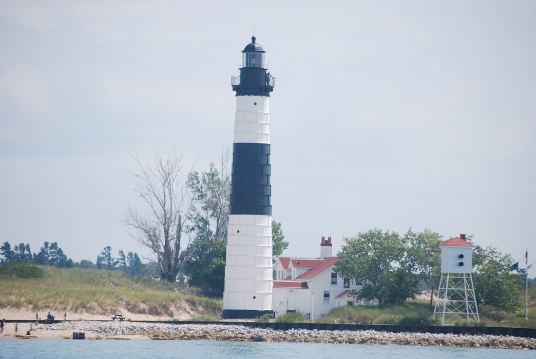
8/18/14 Big Sable Point Lighthouse just north of Ludington, MI
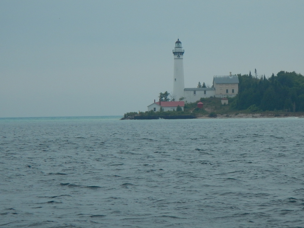
8/16/14 Lighthouse on S. Manitou Island
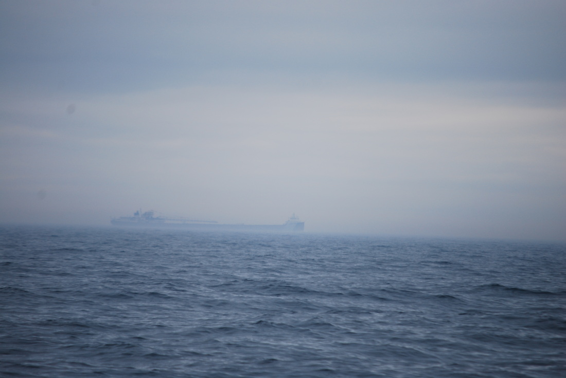
8/16/14 An ore carrier in the fog off Frankfort MI. You want to stay away from these guys.....they can hurt you.....maybe even ruin you day.
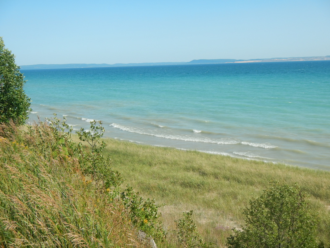
8/15/14 S. Manitou Island, looking NW toward Leland, MI from the old Theodore Beck homestead on the "Isle of View".
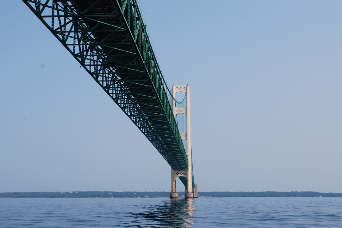
8/9/14 Passing under the Mackinaw Bridge
7/25/14 Perry Monument at Put-in-Bay
7/25/14 Sojourner in mooring field at Put-In-Bay as seen from atop the Perry Monument
7/25/14 City park at Put-in-Bay
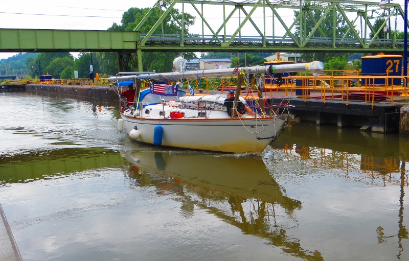
7/7/14 Exiting the lock @ Lyons, NY. Maj. Dave on the bow performing the arduous task of being the forwarding looking eyes & ears of Sojourner....dangerous work.
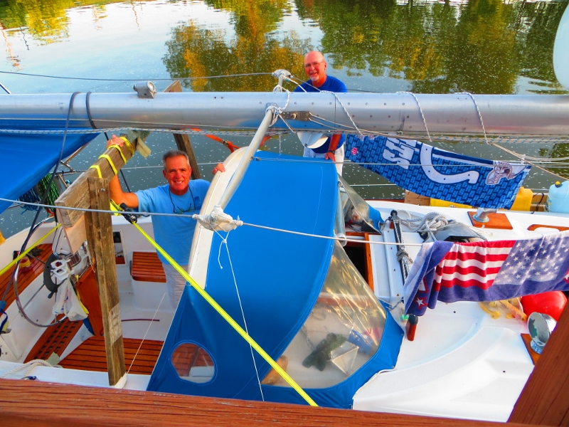
7/6/14 Maj. Dave & yours truly at Lyons, NY
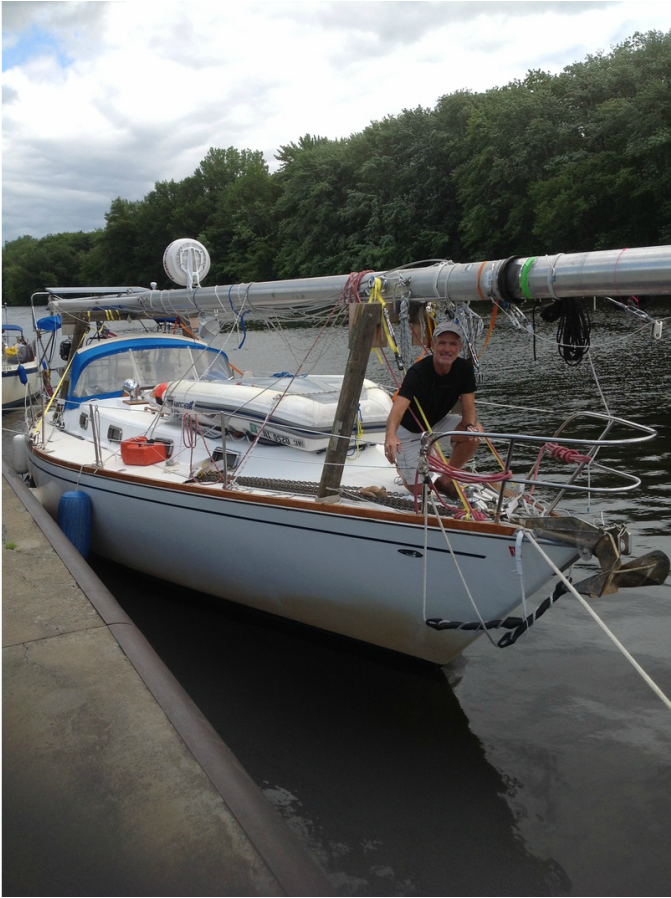
7/4/14 Sylvan Beach, Lake Oneida, NY
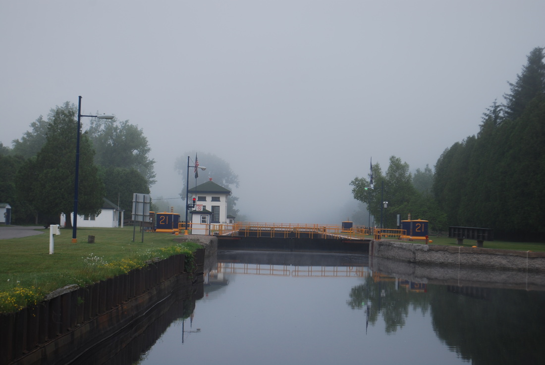
7/3/14 Morning fog on the Erie Canal 10 miles east of Lake Oneida
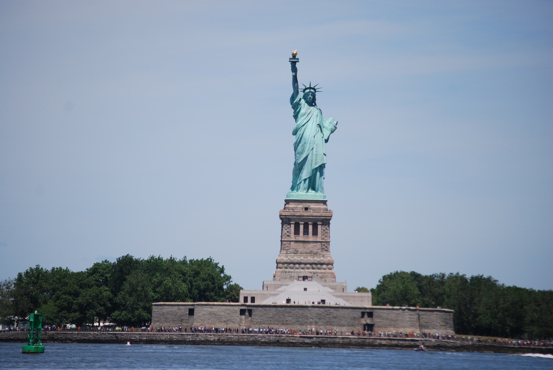
6/20/14 Statue of Liberty
6/12/14 Cape Hatteras light in morning fog
6/11/14 Yours truly, off Cape Hatteras
6/11/14 Bob Trotter off Cape Hatteras
5/20/14 Got zinc?? Taken at the welding shop, a classical example of the type of damage that can occur due to galvanic corrosion. Totally preventable by timely inspection/replacement of sacrificial zinc anodes.
5/22/14 Went snorkeling at a small park/reef just around the corner from Marsh Harbour. People feed the fish, so as soon as I hit the water I had an audience. Funny how that works.
5/14/14 Sailboat on the beach, Hope Town
5/14/14 Hope Town light house.
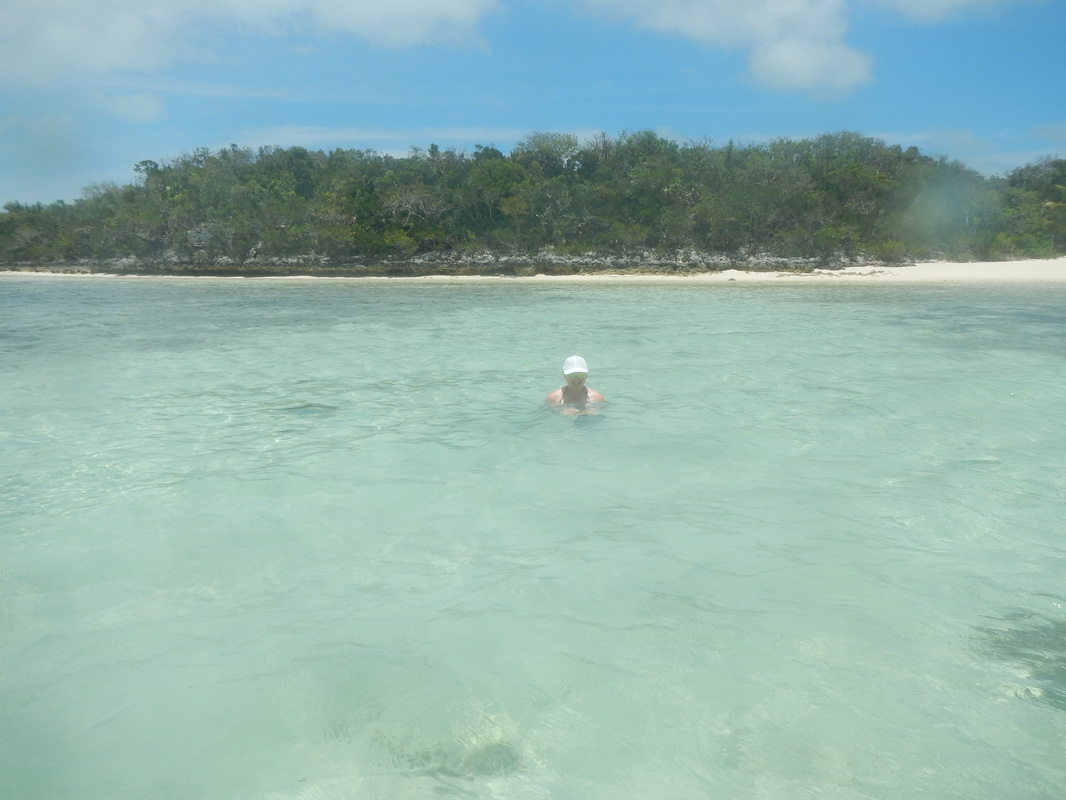
5-15-14 Sister Carrie at Matt Lowe's Cay. Enjoying the warm water and spectacular scenery.
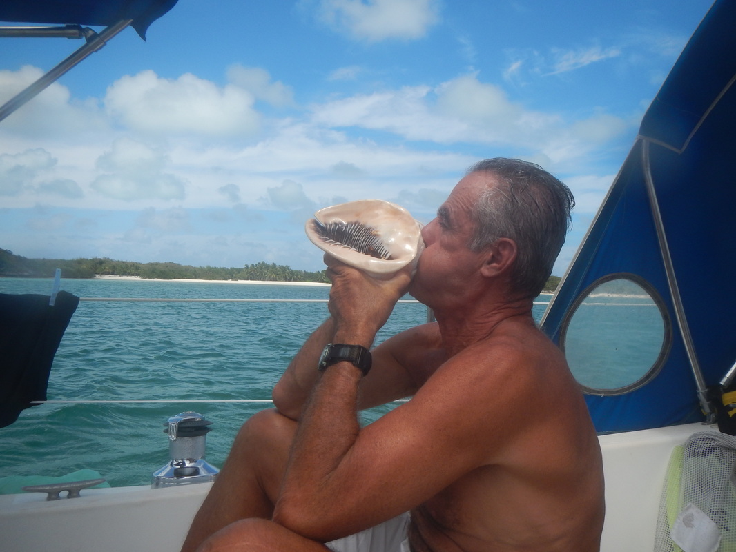
5-15-14 Practicing on the conch. It is a custom to blow on the conch at sunset. There is lot's of music on the anchorage at sunset. The neighbors are really going to love me.
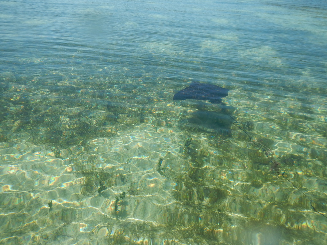
5/6/14 An Eagle Ray in shallow water.
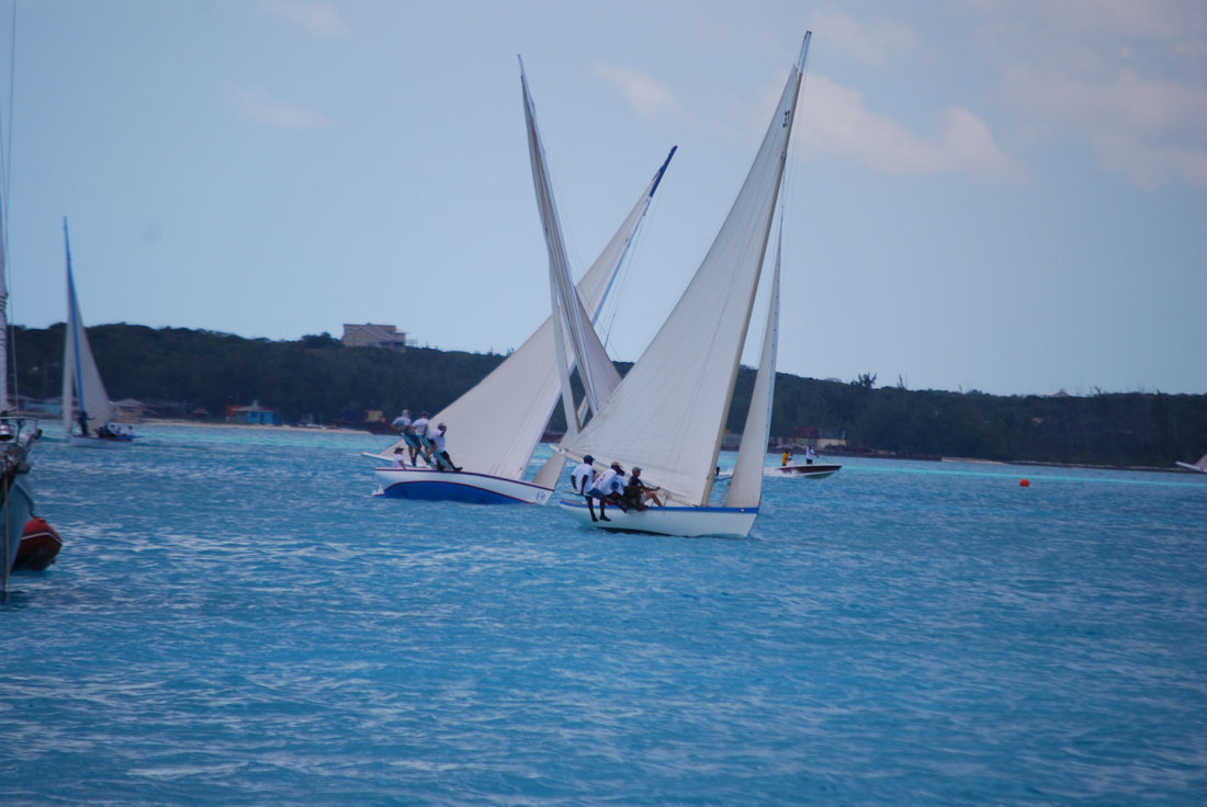
4/24/14 George Town Regatta, mixing it up on the course.
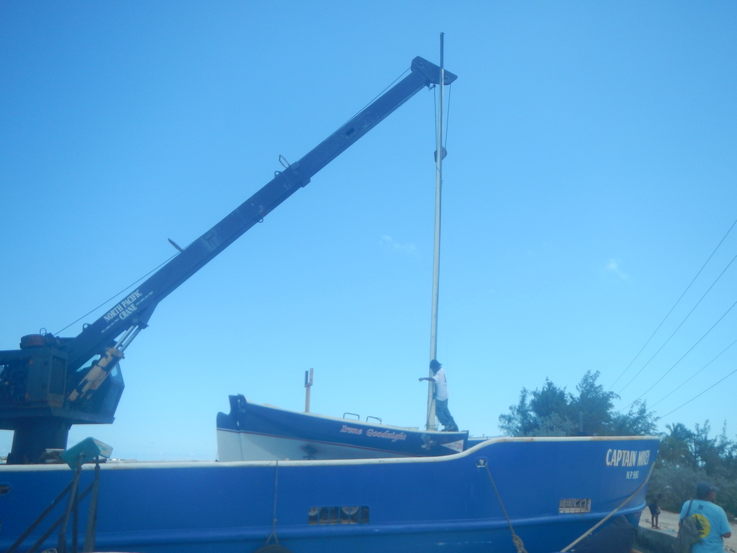
4/22/14 Unloading boats from the mail boat. Entrants boats are shipped to George Town at no cost.
4/17/14 Yours Truly at Christopher Columbus Monument
4/17/14 Christopher Columbus Monument, Long Island
4/17/14 Long Island, beach at old Diamond Salt works.
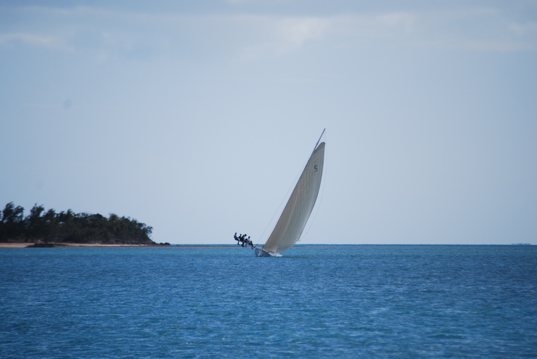
4/13/14 The crew is really hiked out. Practice for the regatta in George Town.
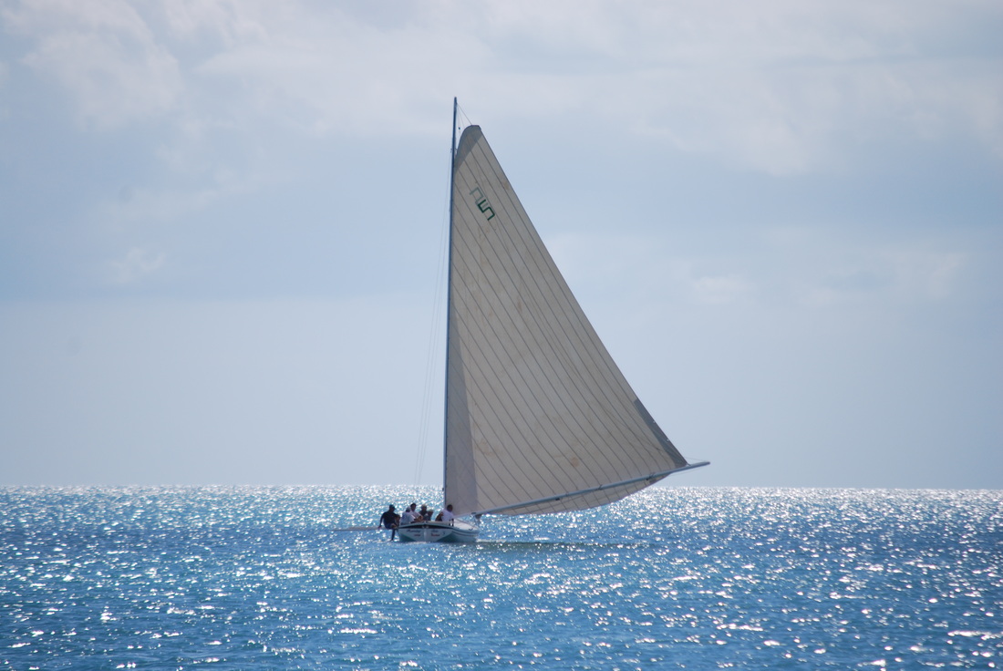
4/13/14 Bahamian racing sloop going down wind, on a sea of diamonds.
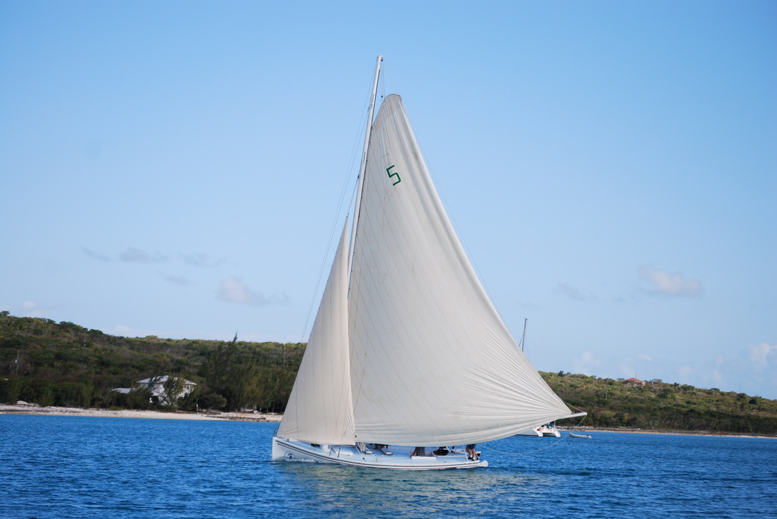
4/13/14 A Bahamian "A" Class racing sloop. Notice length of the boom.
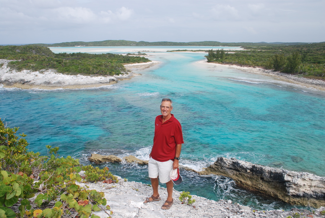
4/11/14 Yours truly at Christopher Columbus Monument.
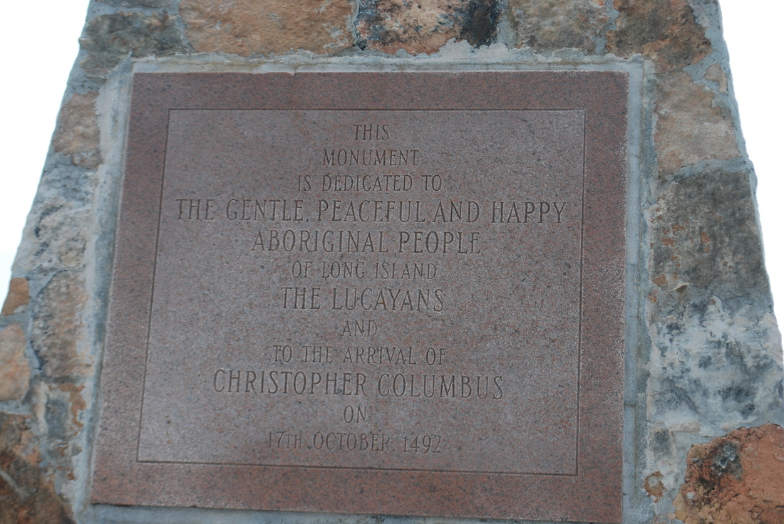
4/10/14 Plaque on the Christopher Columbus Monument
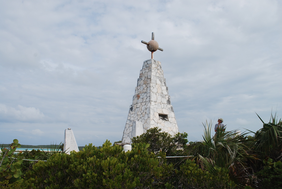
4/11/14 Christopher Columbus Monument on Long Island
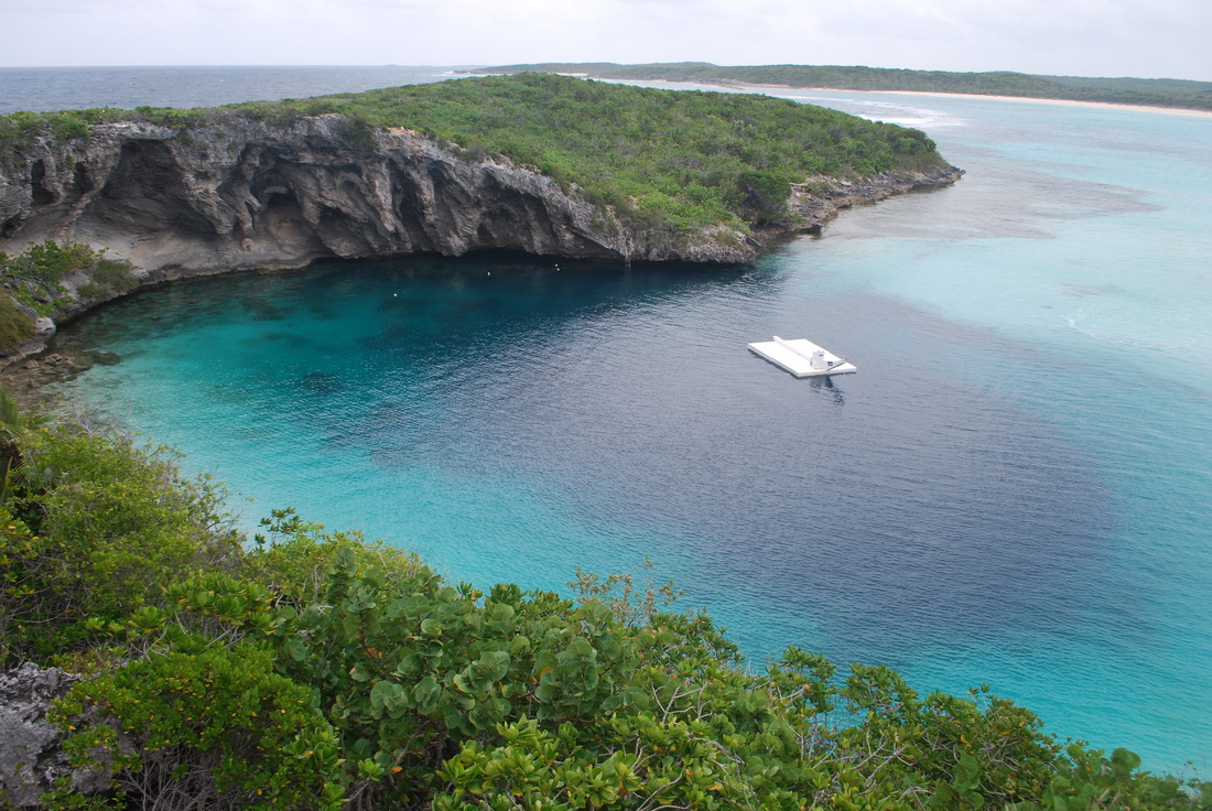
4/11/14 Dean's Blue Hole, the deepest blue hole in the world at 663ft deep.

4/5/14 Rudder Cut Cay, just another beautiful sunset.
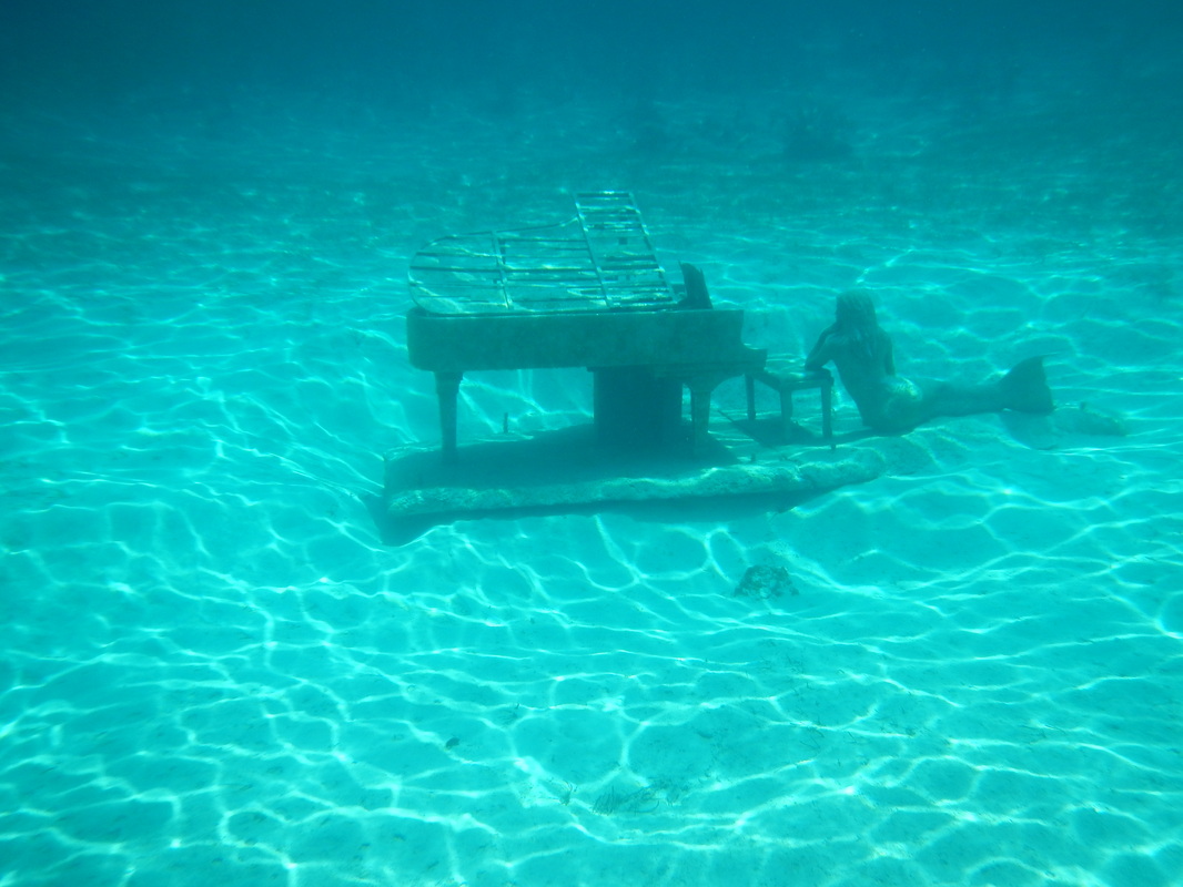
4/5/14 A stainless steel piano at Rudder Cut, compliments of David Copperfield. He owns the island.
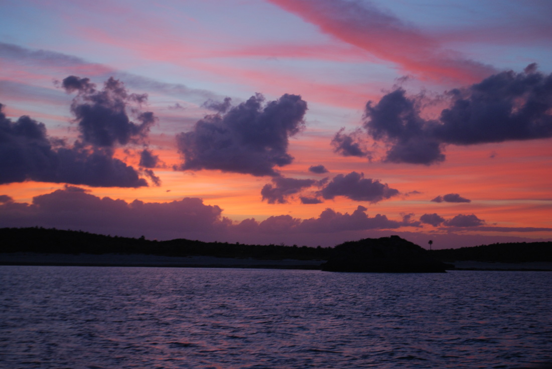
4/4/14 Sun rise at Great Guana Cay. I was in the cockpit with my portable shortwave radio listening to the SSB weather forecast at 6:30.
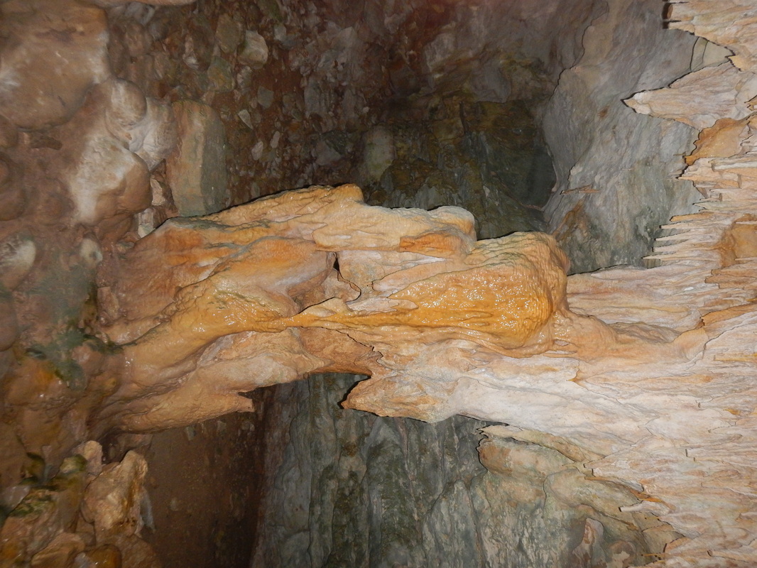
4/3/14 Cave on Great Guana Cay
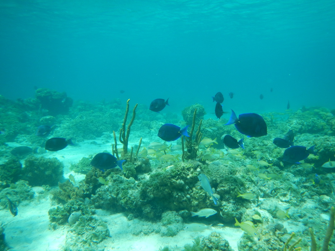
4/3/14 A coral head near Little Farmers Cay
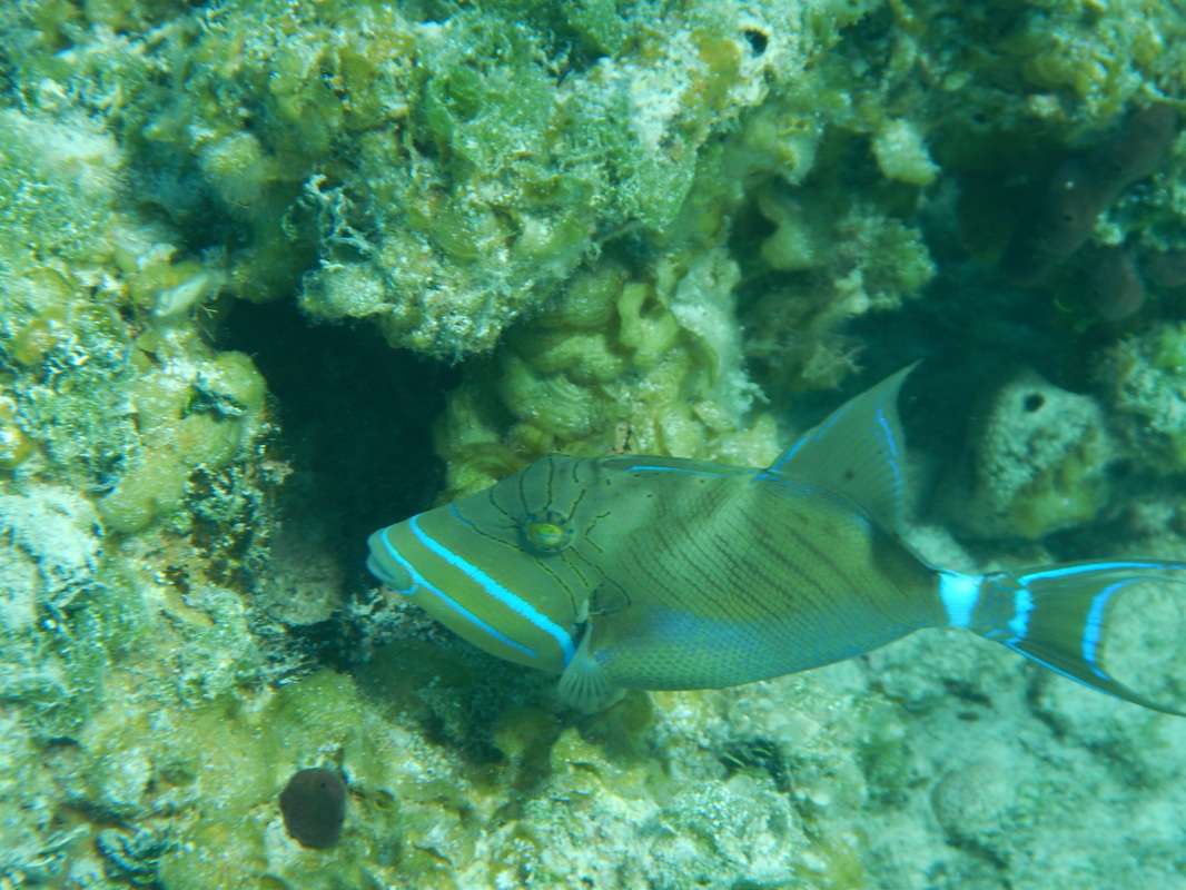
4/3/14 A trigger fish (I think) near Little Farmers Cay
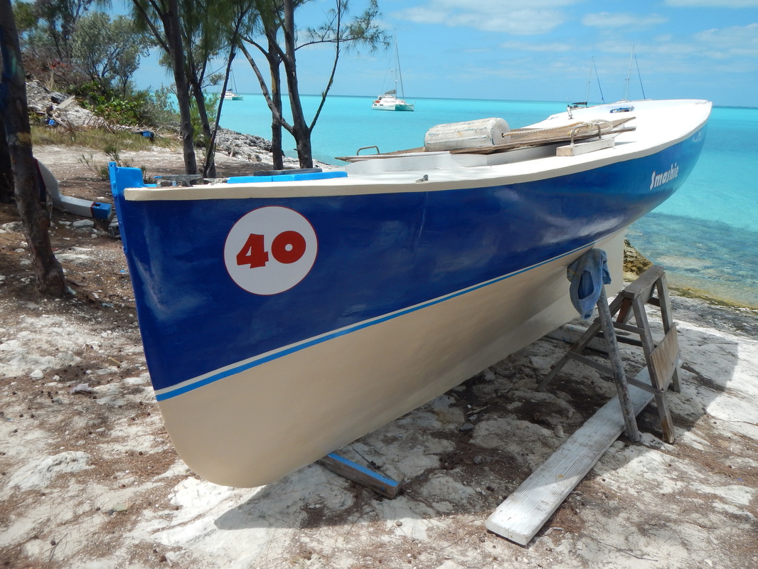
4/1/14 Bahamian racing sail boat at Black Point
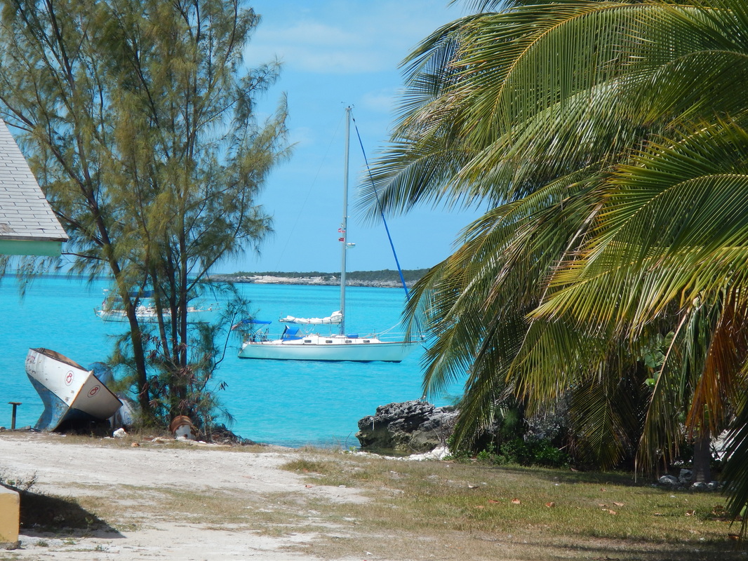
4/1/14 Sojourner at anchor @ Black Point
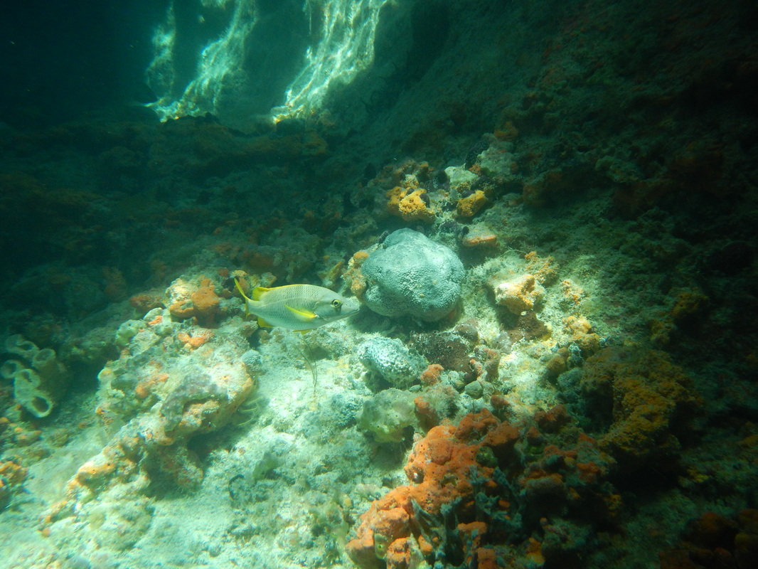
3/27/14 Inside Thunderball Grotto
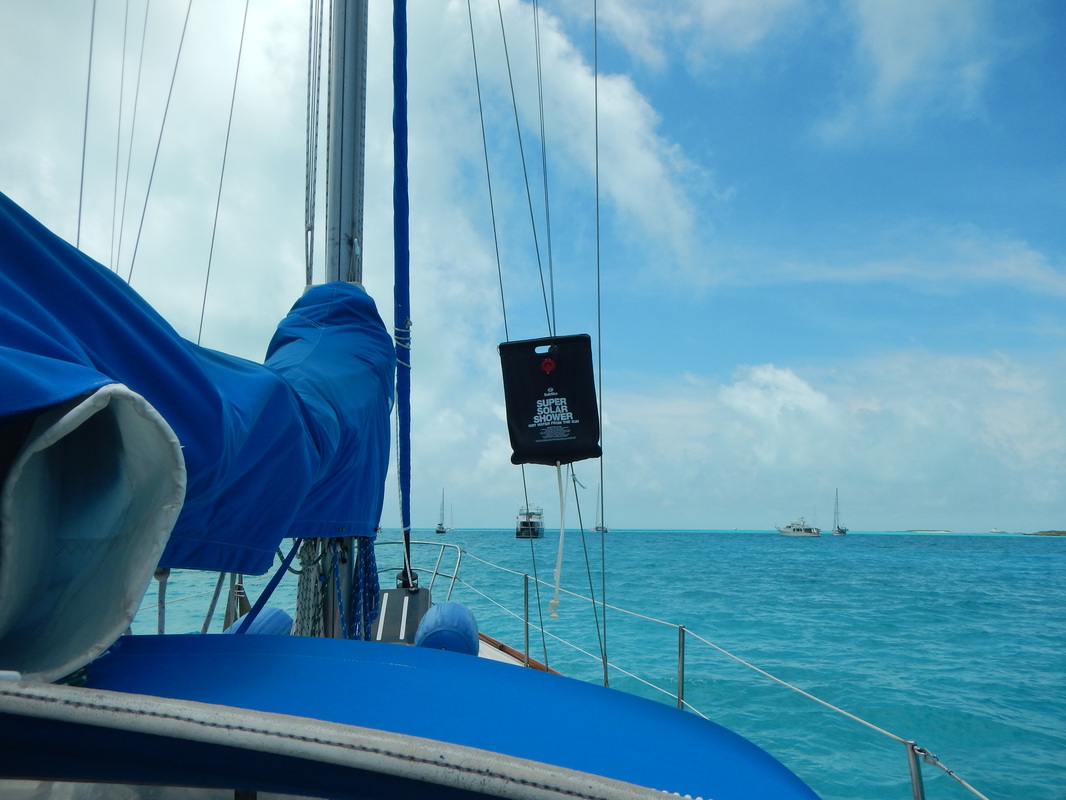
3/30/14 Hot showers aboard Sojourner
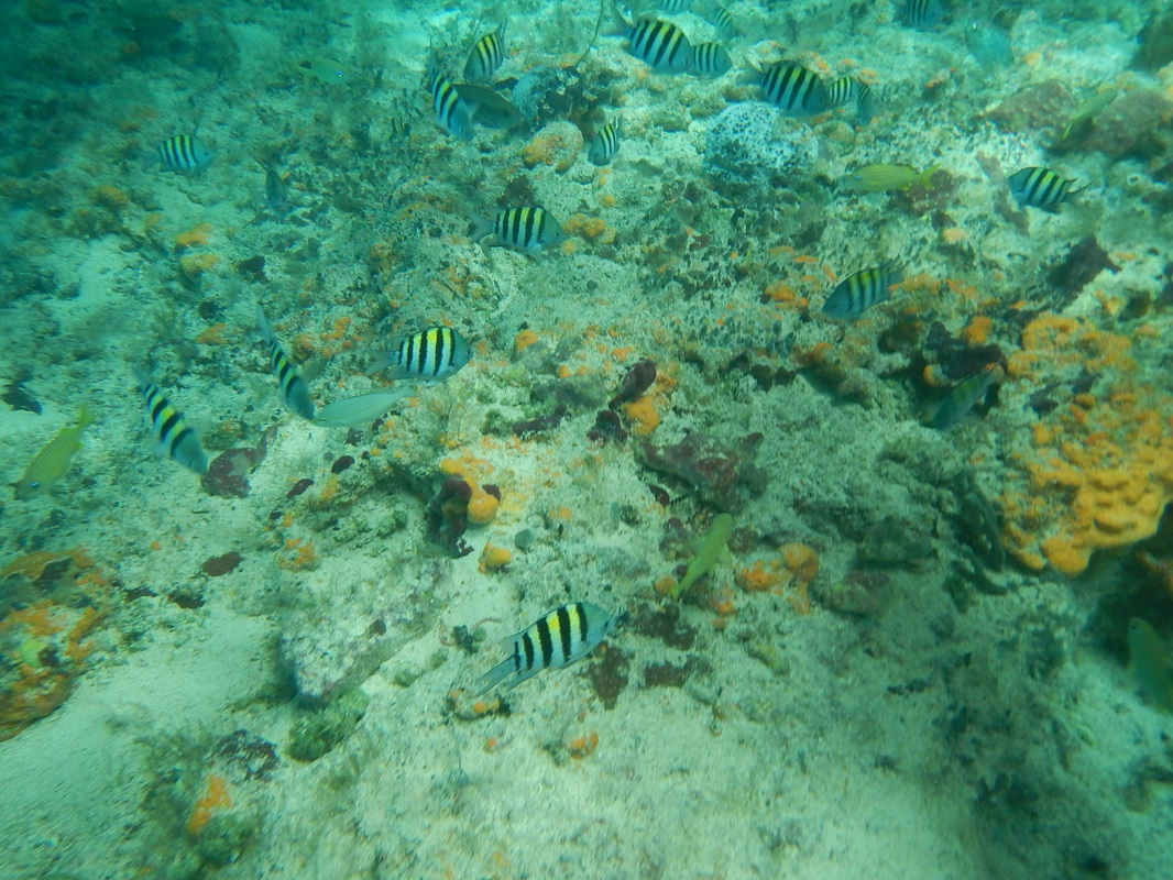
3/28/14 Thunderball Grotto, nice lighting, it was a sunny day, the sun is shining through a hole in the roof.
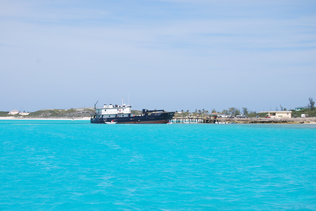
3/31/14 Mail Boat at Black Point Gov. Dock
3/9/14 Just dropped anchor & went down to see if it dug in. This crabby guy was there as I disturbed his hide out.
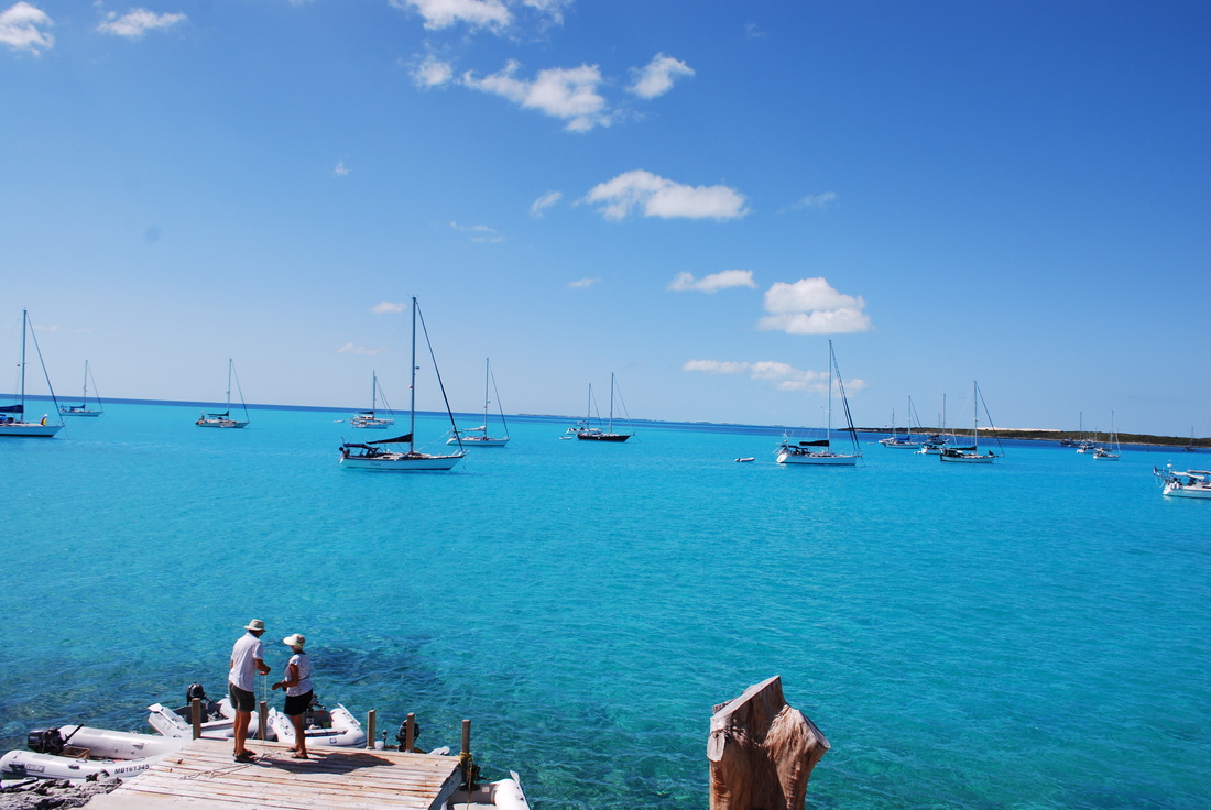
3/10/14 At the Black Point Laundromat. It overlooks the bay & has a dock. The lady that runs the laundry also gives haircuts,$10. I was in the barber's chair & took the picture.
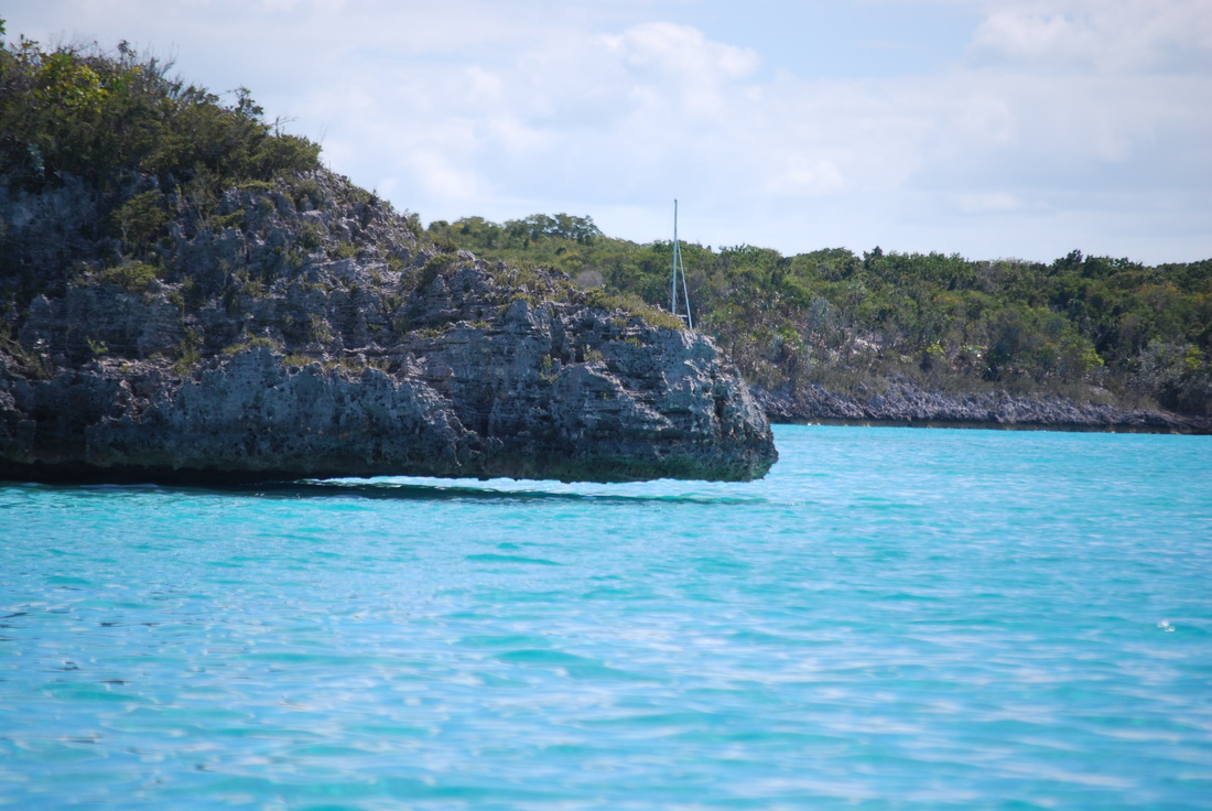
3/9/14 Coral overhang at Big Majors Spot.
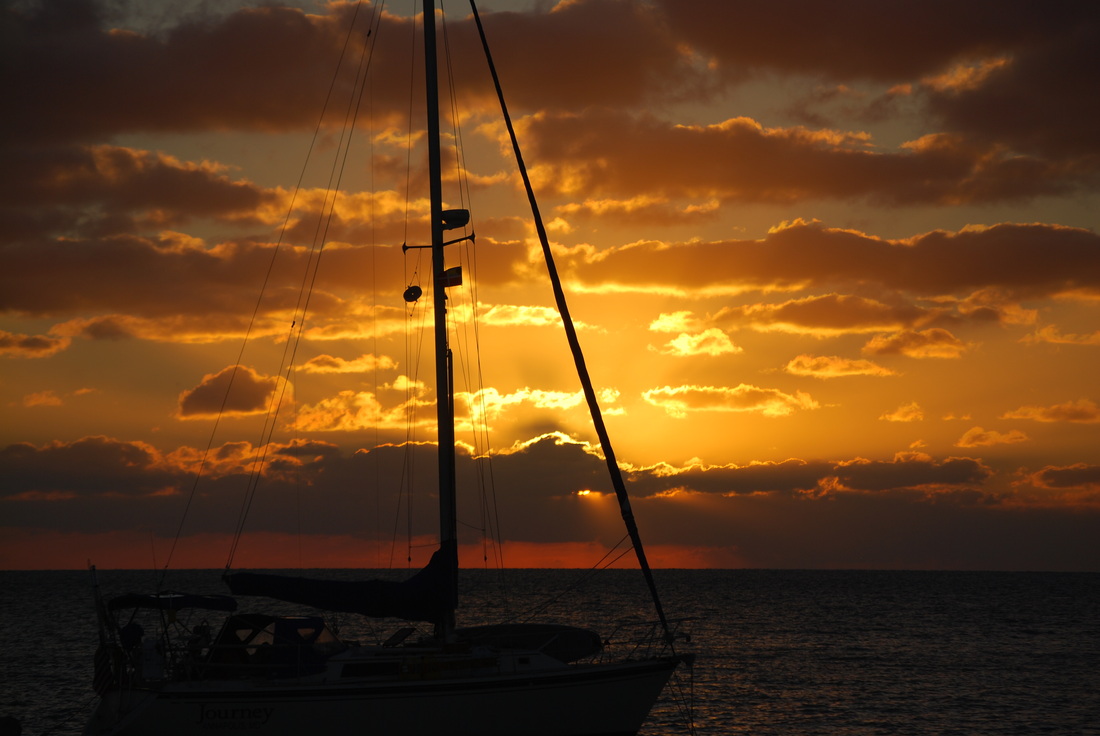
3/9/14 A sunset in the anchorage, Staniel Cay area.
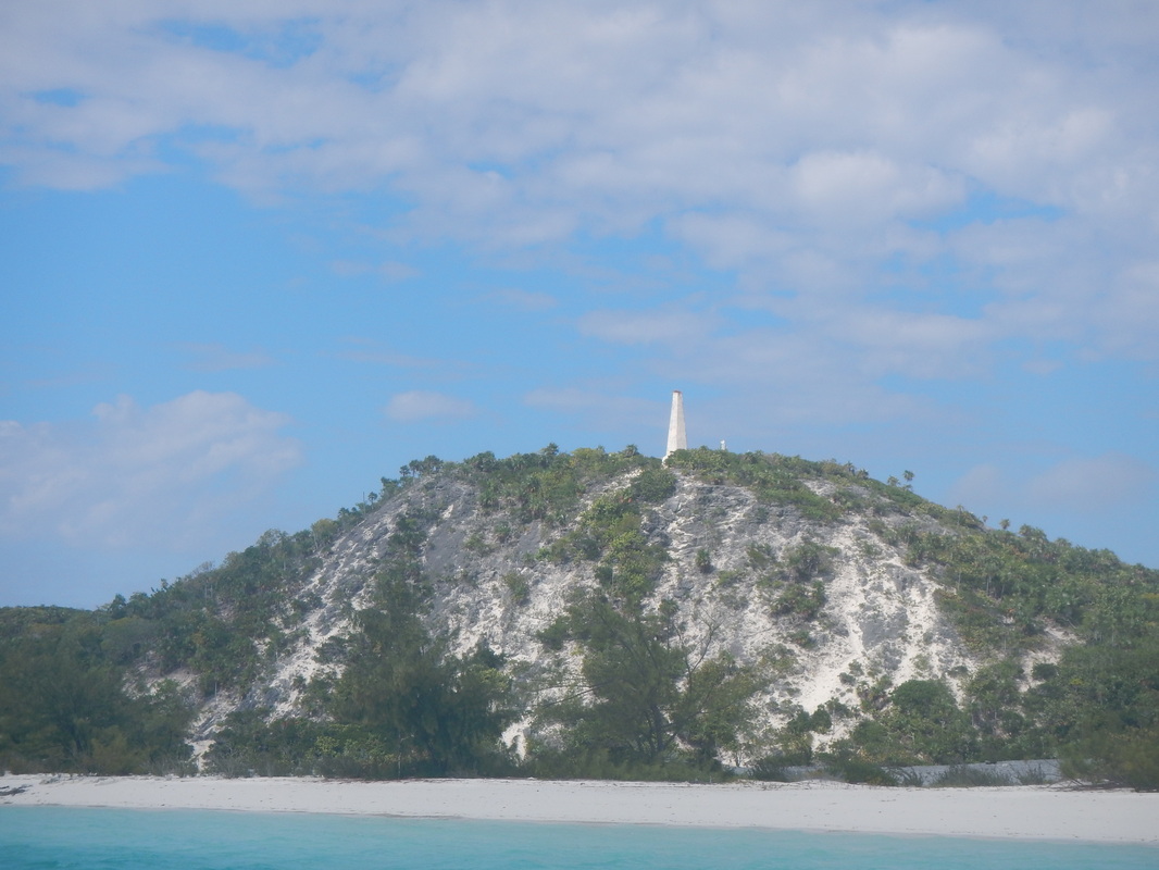
3/1/14 Monument Hill on Stocking Island
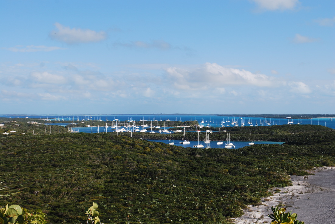
3/1/14 Anchorages from on top Monument Hill. George Town, Grand Exuma Island, Bahamas
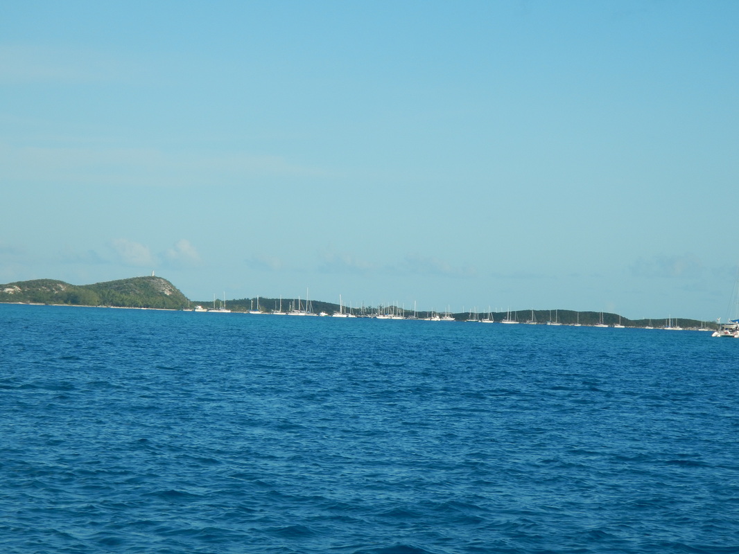
2/26/14 George Town harbor. This is only a third of the boats.
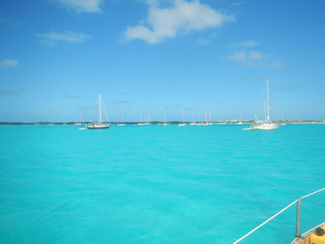
2/19/14 Anchorage at Black Point
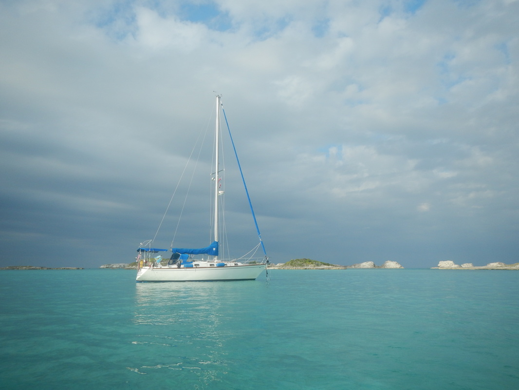
2/14/14 Sojourner at anchor; Staniel Cay
2/18/14 Queen Conch....to pretty to eat. This one was put back in the water to have babies.
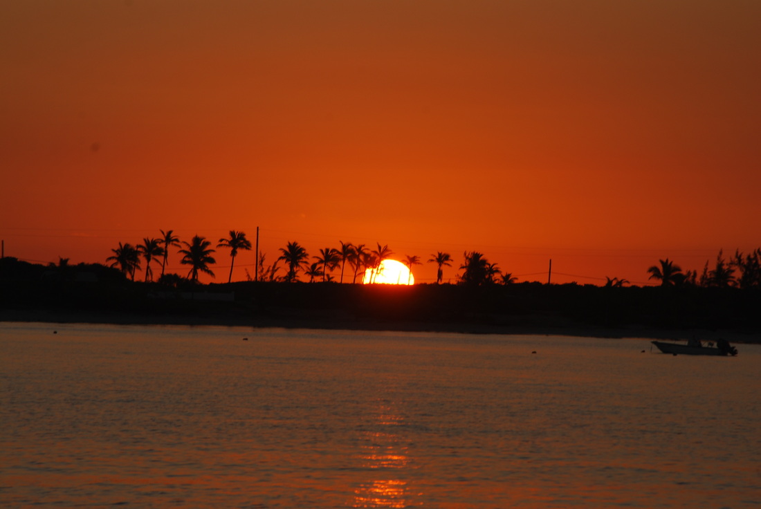
2/16/14 Sunset at Staniel Cay
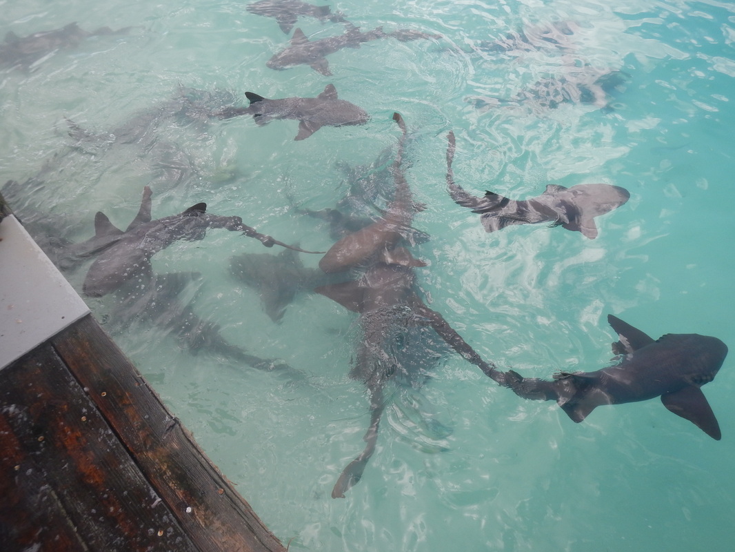
2/13/14 Staniel Cay, picnic at the fish cleaning station.
2/7/14 Highborne Cay, shark resting on bottom, I gave him wide berth & went back to dinghy
2/8/14 Highborne Cay, a peaceful evening in the anchorage
2/4/14 Lionfish on the end of my pole spear.
2/13/14 Swimming pigs at Staniel Cay
2/14/14 Thunderball Grotto at Staniel Cay
1/22/14 Yours truly, north side of Current Island, wind blowing 25-30kt. I anchored on the south side of island, it was calmer, see picture below.
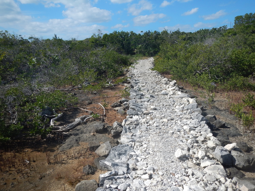
1/22/14 Current Island, path up from the beach to the settlement.
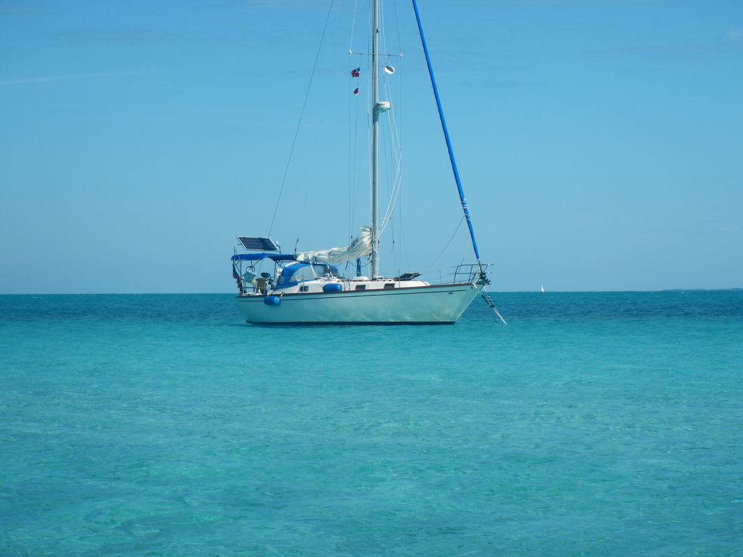
1/21/14 Sojourner at Current Island
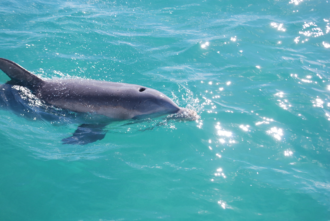
1/19/14 This guy came up along the boat & watched me anchor at Spanish Wells.
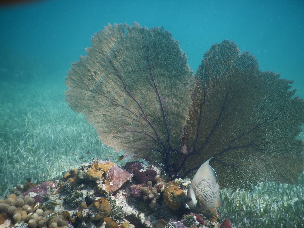
1/18/14 Sea fan
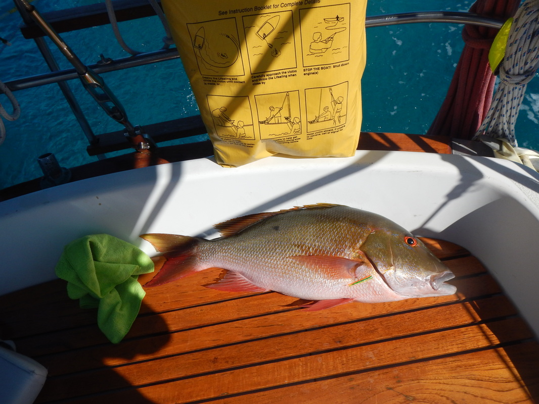
1-23-14 Dinner, red snapper, he fought quite well, but in the end he was a dinner guest.

Manta Ray
Sunset in Marsh Harbor
Dinner
12/24/13 Snorkeling on the ocean side of Manjack Cay.
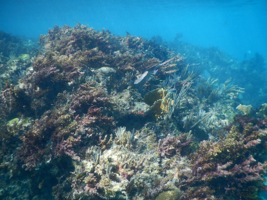
12/24/13 Finally got to go snorkeling.
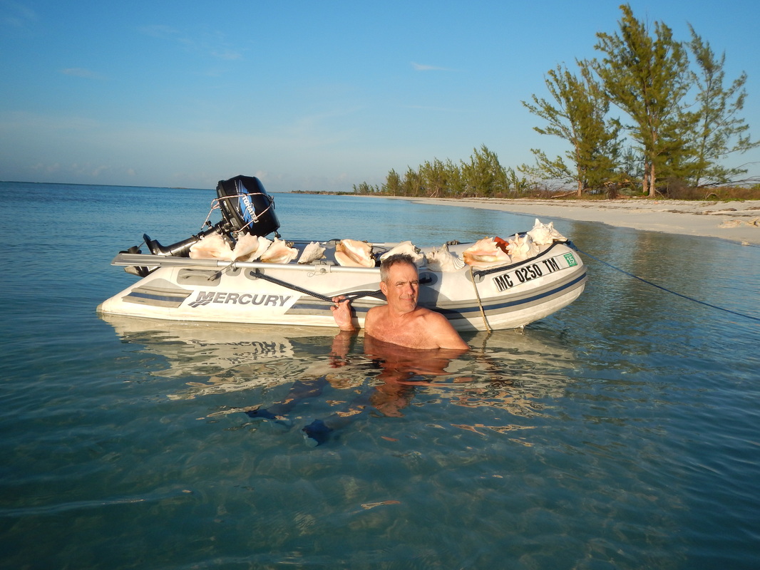
Grand Cay gathering conch shells. Only one is coming home.
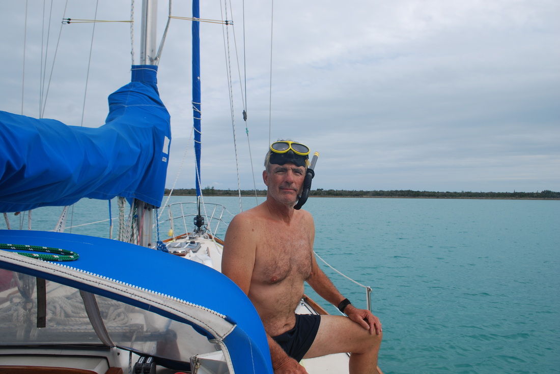
12/15/13 At Great Sale Cay getting ready for a dip.
These guys are hiding out until Turkey Day is past. ( I took the photo in Feb 2012 in Blue Spring State Park, Fl)

11/16/13 Full moon on the Coosaw River, north of Charleston SC. Sun has not fully set in west, a beautiful sight in the anchorage
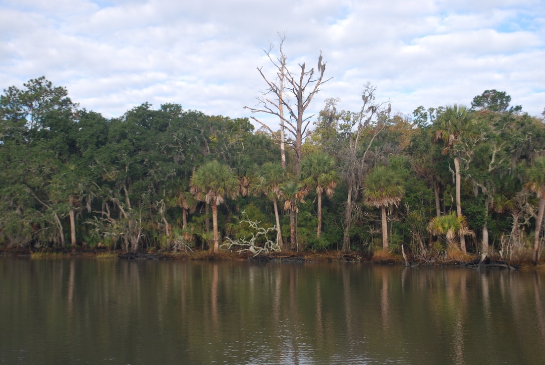
11/16/13 Scenic shoreline on S. Edisto River SC
11/9/13 St John Yacht Harbor on St John Island & Sojourner in her slip.
10/19/13 Eagle on the Waccamaw River, SC
10/19/13 Osprey on the Waccamaw River, SC
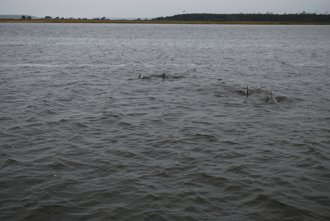
10/15/13 A pod of dolphins on the ICW, Core Creek, just north of Moorehead City, NC.
10/6/13 Morning fog on the Alligator River. This was a peaceful anchorage.
10/8/13 Nags Head, NC, A nice day at the beach. The water looks warm. It was! :-)
Albion NY 8/24/15
Above is the wall Sojourner was tied to in Albion. Notice the electric & water hook ups, there were showers for the boaters.....all free....past of your canal usage fee. What a deal!!! Note the lift bridge there are lots of them.
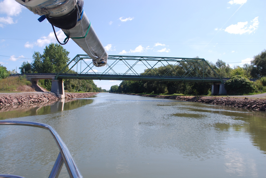
Erie Canal 8/24 east of Albion, miles & miles of serene motoring
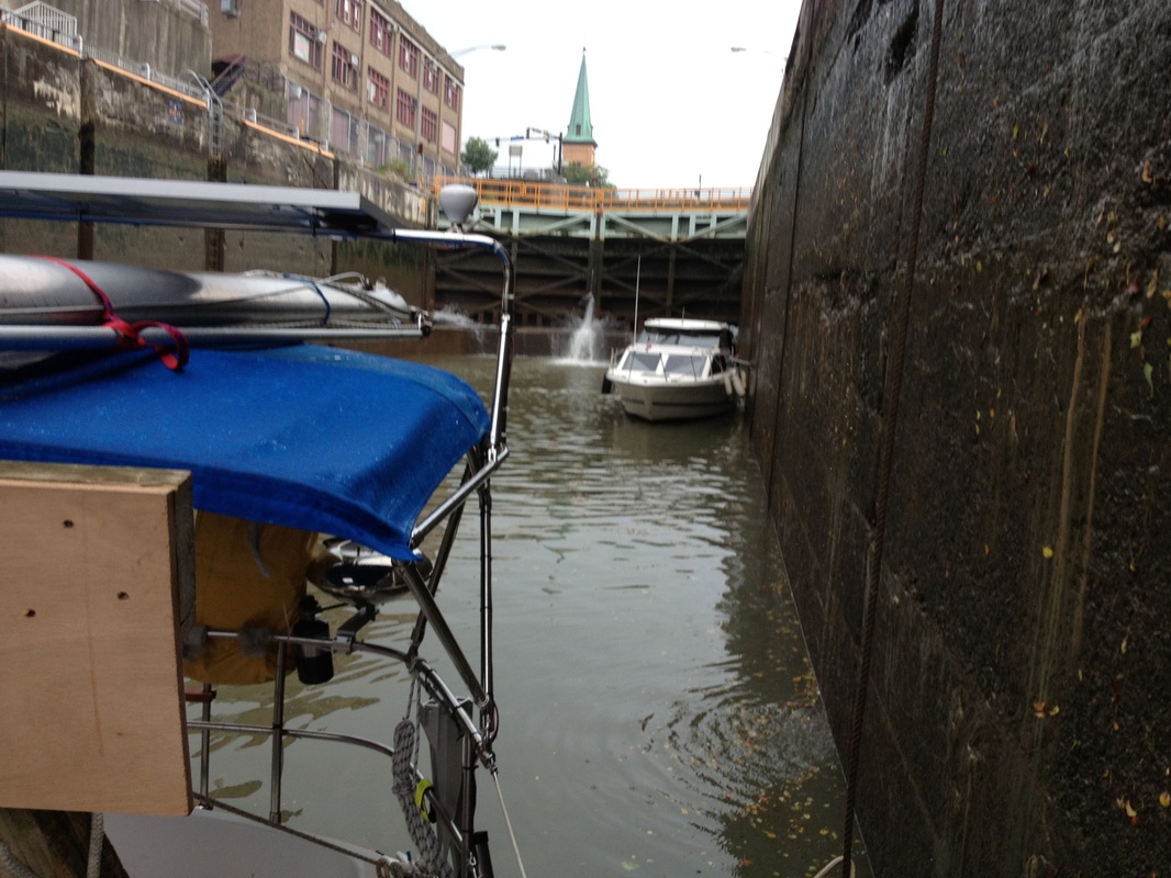
In the locks at Pittsford NY. This one lowered us 25ft.
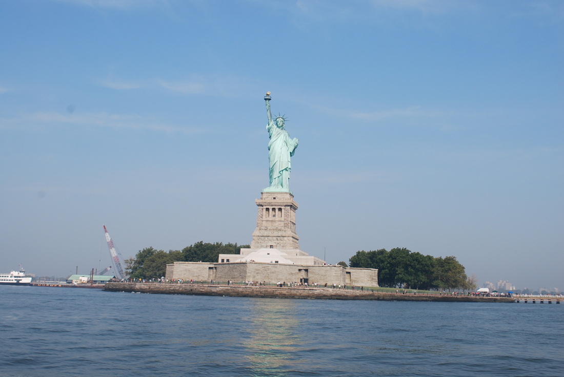
Passing through NY Harbor on 9/11/13. Lady Liberty is awesome, may we never forget what she stands for.
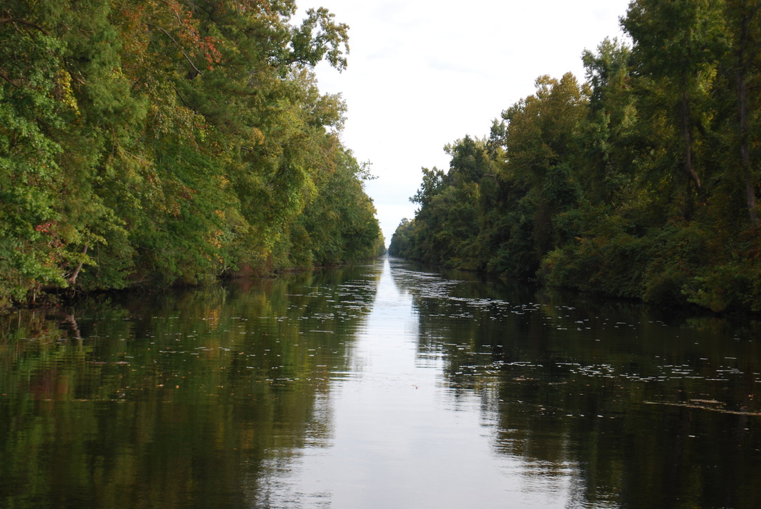
9/30/13 The Dismal Swamp Canal
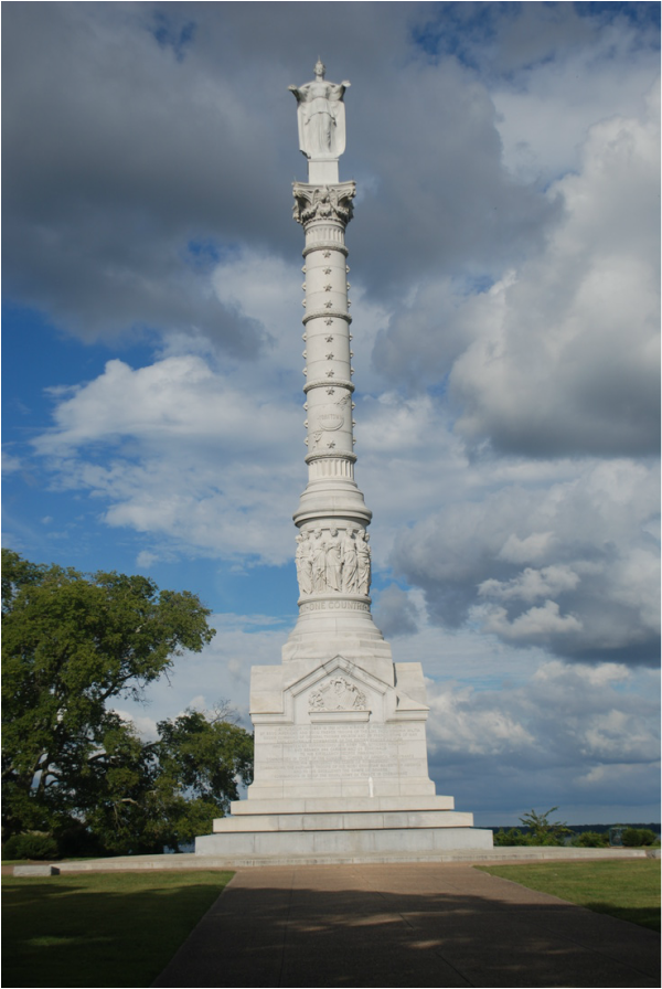
9/26/13 Victory Monument at Yorktown, overlooking the York river.
9/26/13 Surrender Field at Yorktown. This is where the American Revolution ended 232 years ago.
Maj. Dave & I in Fairport, NY. Two wild & crazy guys looking for......